
Kode Kallu
Viewpoint near Charmadi
6.7 km from Charmadi
The nearest town, for stays, food and fuel.
Kode Kallu is a scenic rock formation and vantage point set in the misty hills of Mudigere taluk in Karnataka. Perched along the emerald ridges of the Western Ghats, it derives its name from a rock formation shaped like an umbrella. Travellers and hikers head here to take in wide views of layered valley contours, tea slopes, and the swirling mist characteristic of the Malnad region.
Getting there
By road
- From CharmadiNearest town15 min · 13 km
- From Mangaluru1 hr 50 min · 91 km
- From Mysuru4 hr 55 min · 221 km
- From Bengaluru6 hr 25 min · 323 km
Typical drive times without traffic. Stations and airports from OLA Maps; distances and typical drive times from OpenStreetMap (© OpenStreetMap contributors); notes from creators' Reels.
About Kode Kallu
Written with AI from map data and general knowledge. Check prices and timings locally before you go.
About Kode Kallu
Kode Kallu, which translates locally to Umbrella Rock in Kannada, is a distinct geological feature and viewpoint tucked away in the highlands of Mudigere taluk. The rock sits atop an exposed ridge, enduring the heavy seasonal rainfall and strong winds of the Western Ghats. From this elevated perch, visitors look down upon deep river valleys, forested ravines, and sloping tea and coffee estates.
The location serves as a peaceful escape for nature enthusiasts, hikers, and landscape photographers. Unlike heavily commercialised viewpoints, Kode Kallu retains a rugged and understated atmosphere. The wind sweeps across the exposed grassy slopes, carrying dense clouds of fog that can roll in and envelope the entire hilltop within minutes, clearing just as quickly to reveal the sprawling expanse below.
Landscape and Trekking Experience
Reaching Kode Kallu typically involves a short to moderate hike across rolling shola grasslands and rocky terrain. The trail takes you through patches of moist deciduous and evergreen vegetation typical of the Chikkamagaluru and Mudigere belt, where bird calls and rustling leaves dominate the soundtrack.
The final stretch leading directly to the rock structure involves walking along narrow trails that cut through high grasses and moss-covered stones. Because the trail is exposed to the elements, proper balance and sturdy footwear are helpful, especially during and after showers when the stones turn slick. Standing near the umbrella-shaped rock gives travellers a commanding vantage over the valleys stretching towards the coastal plains on one side and the interior coffee country on the other.
Read more
Best Time to Visit
The post-monsoon and winter months, running from October through February, are widely regarded as the best time to visit Kode Kallu. During this period, the rains taper off, leaving behind lush green slopes, cool morning breezes, and clear blue skies that offer crisp, long-distance visibility over the surrounding mountain ranges.
The monsoon months from June to September turn the entire landscape of Mudigere a vivid shade of green, filled with rushing streams and thundering waterfalls. However, the rains here are intense and persistent, bringing thick fog that can entirely block the view, as well as slick paths and frequent leeches along the grass. If you prefer mild weather and minimal haze for hiking and photography, the post-monsoon period offers the safest and most comfortable walking conditions.
How to Reach Kode Kallu
Kode Kallu is located in the Mudigere region of Karnataka and can be accessed from major regional hubs via road. Mudigere town serves as the primary base for exploring the area and is well connected by road to Chikkamagaluru, Mangaluru, and Bengaluru. Travellers arriving by air or train typically pass through Mangaluru or Chikkamagaluru before heading up the ghats by bus or private vehicle.
From the nearest motorable road or village access points, the last leg to Kode Kallu is completed on foot along local paths. Local drivers and residents are the best source of real-time advice regarding the condition of rural roads leading towards the trailhead, especially after periods of wet weather.
Tips for Your Visit
Planning ahead makes a hike to Kode Kallu safe and enjoyable. Because there are no commercial shops, cafes, or stalls directly at the viewpoint, travellers should bring adequate drinking water, light snacks, and sun protection such as a hat and sunscreen for sunny hours.
Footwear with good grip is essential for handling uneven ground and loose gravel. During or shortly after the rainy season, carrying salt, leech socks, or insect repellent is advisable when walking through grassy edges. Keep an eye on afternoon weather changes, as mountain fog and light showers can descend rapidly. Always carry any plastic wrappers or bottles back down the hill with you to keep the environment pristine.
Places to Visit Nearby
The Mudigere and Charmadi landscape surrounding Kode Kallu is rich with natural sights and cultural landmarks. Waterfalls such as Ermayi Falls and Arbi Falls lie within the broader region, offering refreshing stopovers along mountain streams during the post-monsoon season. The Kelagur estate area, famous for its sprawling tea gardens and scenic vantage points, is also an easy excursion for those who enjoy plantation scenery.
Travellers interested in heritage and sacred architecture can combine their visit with stops at renowned regional temples, including the Sri Kshetra Dharmasthala Manjunatha Swamy Temple, the Kalaseshwara Temple, and the Adishakthyathmaka Shri Horanadu Annapoorneshwari Temple located across the nearby hill passes. Nature lovers can also extend their route toward the banks of the Netravathi River or serene water bodies like Hirekolale Lake further into Chikkamagaluru.
Where to Stay near Kode Kallu
Travellers exploring Mudigere taluk and the vicinity of Kode Kallu have several options for lodging, ranging from traditional planters' homestays tucked into coffee estates to peaceful wilderness campsites. Stays situated amidst plantations offer an authentic taste of local Malnad hospitality and regional home-cooked cuisine.
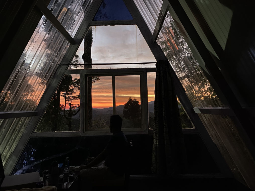
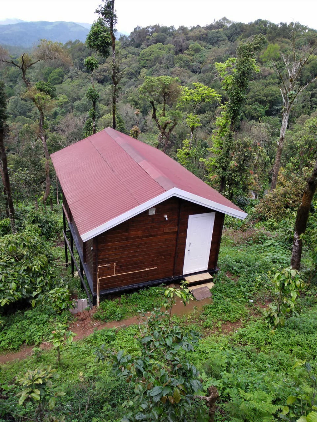
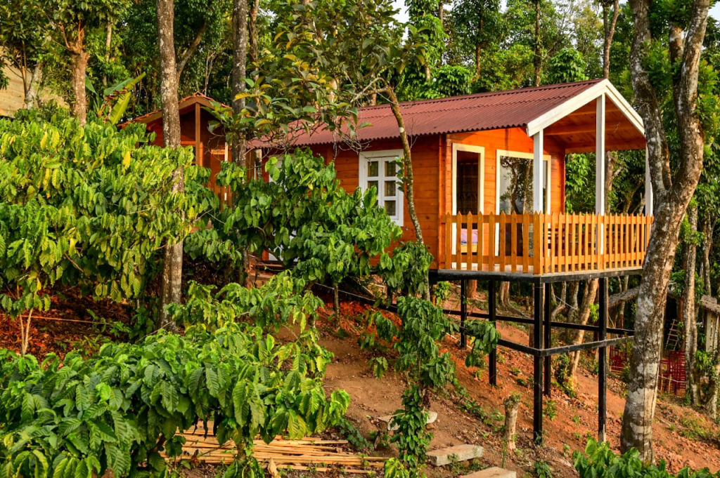
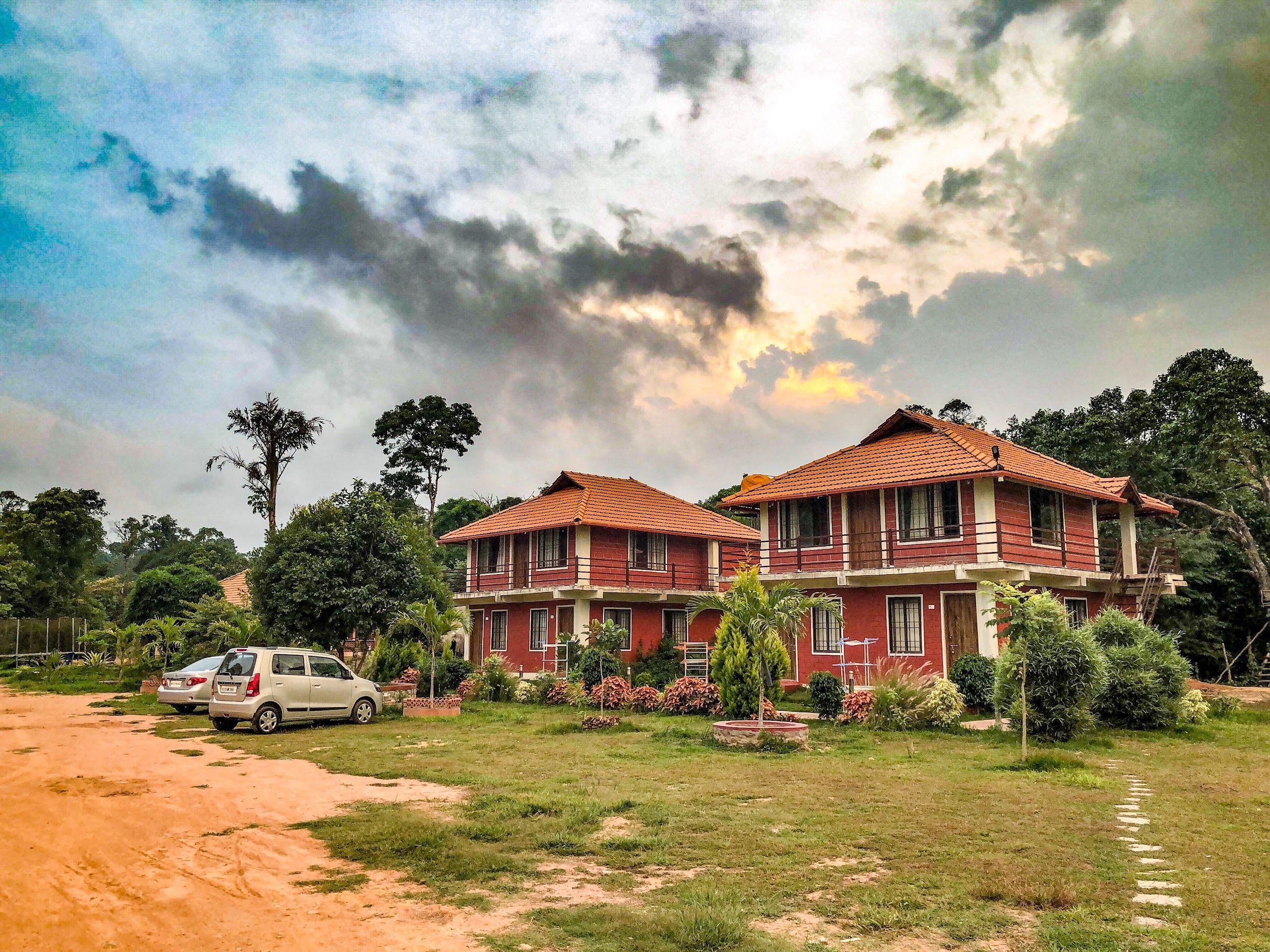
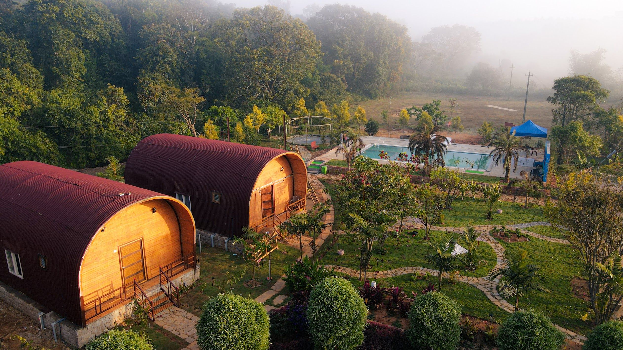
Those looking to spend their nights under open mountain skies or in quiet rural settings can find verified campsites, rustic cottages, and homestays nearby on HireACamp. Booking your stay in advance is recommended during long weekends and the peak holiday season between November and January.
Frequently asked questions
What is Kode Kallu known for?
Kode Kallu is famous for its natural rock formation that resembles an umbrella and its panoramic views of the surrounding hills, valleys, and plantations of Mudigere taluk.
Is trekking to Kode Kallu difficult?
The walk to Kode Kallu is generally considered a short to moderate hike over rocky and grassy trails, though paths can be slippery during the monsoon months.
What should I carry when visiting Kode Kallu?
Carry plenty of drinking water, snacks, a basic first aid kit, sun protection, and wear sturdy hiking shoes with solid tread, as there are no shops at the viewpoint.
Can Kode Kallu be visited during the monsoon?
While the monsoon brings lush scenery, it also brings heavy rain, low visibility, slippery rocks, and leeches, making the post-monsoon months of October through February a safer and clearer time to visit.
Where you'll be
Mudigere taluk, KA · 5 stays nearby shown with prices
Stays near Kode Kallu
Book a place to stay close by
More places near Kode Kallu
Within 20 km


Built from 0 Instagram posts by 0 creators. Every tip links back to the post it came from, and where creators disagree we show both sides.






