
Amedikal Betta
Peak near Bhairapur, Karnataka
7.5 km from Bhairapur
The nearest town, for stays, food and fuel.
Amedikal Betta is an imposing mountain peak nestled along the rugged spine of the Western Ghats near Shishila in Karnataka. Recognized by its distinctive dome-shaped summit that resembles the shell of a giant tortoise, the peak is celebrated among endurance hikers for its steep trails and pristine wilderness. Travellers venture here to experience vast grassland ridges, dense tropical forests, and panoramic views stretching across the Charmadi Ghat region.
Getting there
By road
- From BhairapurNearest town2 hr 5 min · 77 km
- From Mangaluru2 hr 10 min · 90 km
- From Mysuru5 hr 45 min · 241 km
- From Bengaluru7 hr 15 min · 343 km
Typical drive times without traffic. Stations and airports from OLA Maps; distances and typical drive times from OpenStreetMap (© OpenStreetMap contributors); notes from creators' Reels.
About Amedikal Betta
Written with AI from map data and general knowledge. Check prices and timings locally before you go.
Understanding Amedikal Betta
Amedikal Betta derives its unique name from local Kannada terminology, where 'Ame' translates to tortoise and 'Dikal' refers to a resting base or three-stone hearth. When viewed from neighboring ridges and valley approaches, the monolithic rock face atop the peak resembles a giant tortoise resting quietly on the crest of the hill. Situated in the Belthangady region of Dakshina Kannada, the mountain forms a crucial part of the biodiverse Western Ghats corridor.
The mountain remains largely untamed compared to more commercial hill stations in southern India. Its slopes are layered with evergreen rainforests, montane shola thickets, and expansive high-altitude grasslands that change color with the seasons. Because the peak is bounded by deep river valleys and wild forest tracts, it has retained an unblemished rural and natural atmosphere that appeals to independent trekkers and nature observers looking for genuine outdoor solitude.
The Trek and Trail Terrain
Reaching the summit of Amedikal Betta requires a demanding and rigorous trek, typically begun from base hamlets near Shishila. The route starts along rural village fringes and plantations before plunging into dense deciduous and semi-evergreen forest canopies. Hikers navigate clear mountain streams, slippery boulders, and rich leaf litter under tree canopies that keep out much of the overhead sunlight during morning hours.
As the trail gains altitude, the forest gives way to steep, undulating grassland ridges. This upper stretch is notorious for its steep inclination and complete lack of tree cover, exposing trekkers directly to the sun and sweeping valley winds. The final approach involves traversing exposed rock patches and steep inclines where foot placement must be cautious. Standing atop the rocky crown rewards hikers with expansive 360-degree views of the surrounding Western Ghats, including prominent nearby landmarks such as Jenukal Gudda and the Charmadi ridgelines.
Read more
Best Time to Visit Amedikal Betta
The optimal period to explore Amedikal Betta is between October and February, when the post-monsoon and winter weather provides clear skies and moderate temperatures. In the months following the monsoon, the mountain is carpeted in lush, vibrant green, and the mountain streams run clear and full. Day temperatures remain comfortable for walking, though early mornings and evenings can get relatively chilly along the ridge.
The summer months between March and May bring rising heat and intense midday sunshine, which can make the long uphill hike over bare grasslands physically draining. The monsoon season from June to September brings torrential rainfall to this section of Karnataka. During these months, the forest pathways turn into rushing watercourses, rocks become extremely slick, and leeches are abundant throughout the tree cover. Hiking during heavy rains requires specialized gear and heightened caution, making the dry winter months the most reliable window for a safe ascent.
How to Reach Amedikal Betta
Amedikal Betta is accessible primarily via the village of Shishila or nearby towns such as Kokkada, Dharmasthala, and Ujire in Dakshina Kannada. The nearest major air hub is Mangaluru International Airport, located roughly one hundred kilometers to the west. From Mangaluru, you can travel inland by road using state transport buses or private taxis via Bantwal and Belthangady to reach Shishila.
For those travelling by train, Mangaluru Junction and Subrahmanya Road railway stations are the most practical railheads. If you are travelling from Bengaluru, overnight buses run frequently to Dharmasthala, Kokkada, or Sakleshpur. From these stopovers, local private buses or hired auto-rickshaws and jeeps can drop you at the trailhead near Shishila. Because public transit into the interior forest edges is infrequent, having a personal vehicle or arranging local return transport in advance is helpful.
Essential Preparation and Hiking Tips
Because Amedikal Betta is a rugged and undeveloped trail, proper preparation is essential for a safe day on the mountain. The hike requires strong physical stamina and can take several hours in each direction. Hikers should start as early in the morning as daylight permits to complete the exposed ridge sections before the sun reaches its peak strength. Wearing sturdy hiking shoes with deep tread is critical for maintaining traction on loose soil, mossy stream rocks, and steep grassy slopes.
Carry sufficient drinking water, as water sources on the higher ridge can dry up or become difficult to locate outside the immediate monsoon period. Pack energetic snacks and a basic first-aid kit, along with salt or insect spray if walking during damp months when leeches are active in the lower forest. Given that forest routes can shift and landmarks can be obscured by sudden mist, checking trail guidelines locally or hiring a knowledgeable resident from Shishila to guide the ascent is strongly advised.
Places to Visit Nearby
The surrounding landscape around Amedikal Betta is packed with spiritual centers and natural landmarks. Just a short journey away is the ancient Sri Shishileshwara Temple, located along the peaceful banks of the Kapila River, renowned for the sacred fish that thrive in its protected waters. Further west lies Sri Kshetra Dharmasthala Manjunatha Swamy Temple, one of Karnataka's most prominent pilgrimage destinations, as well as the towering monolithic statue of Shri Bhagwan Bahubali.
Nature lovers can explore the scenic vantage points of Charmadi Ghat and Kode Kallu, which provide sweeping views of deep valleys and shifting cloud banks. The surrounding hills also host dramatic waterfalls, including Alekan Waterfalls, Ermayi waterfalls, and the impressive Bandaje Arbi drop. Travellers heading across the ridge toward the Chikmagalur border can also access the sacred grounds of Adishakthyathmaka Shri Horanadu Annapoorneshwari Temple or plan trails to adjacent summits like Jenukal Gudda.
Where to Stay
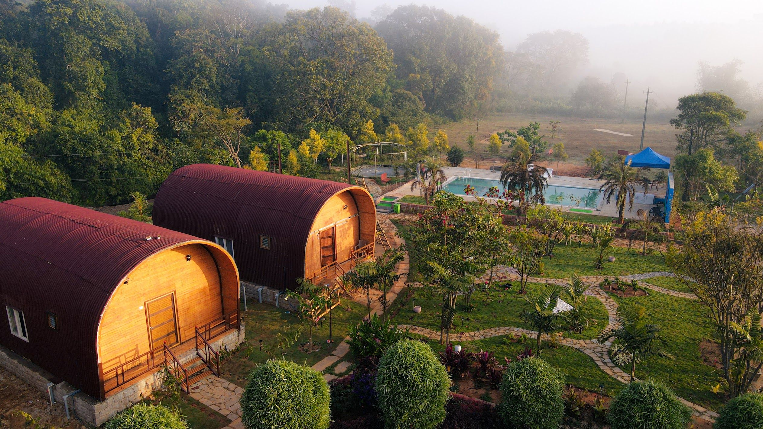
There are no built accommodation options or commercial lodges directly on Amedikal Betta or at its immediate trailhead. Most visitors establish their base in nearby rural hamlets, plantations, or transit towns such as Dharmasthala, Belthangady, and Mudigere. These surrounding areas offer quiet countryside escapes amidst arecanut and spice orchards.
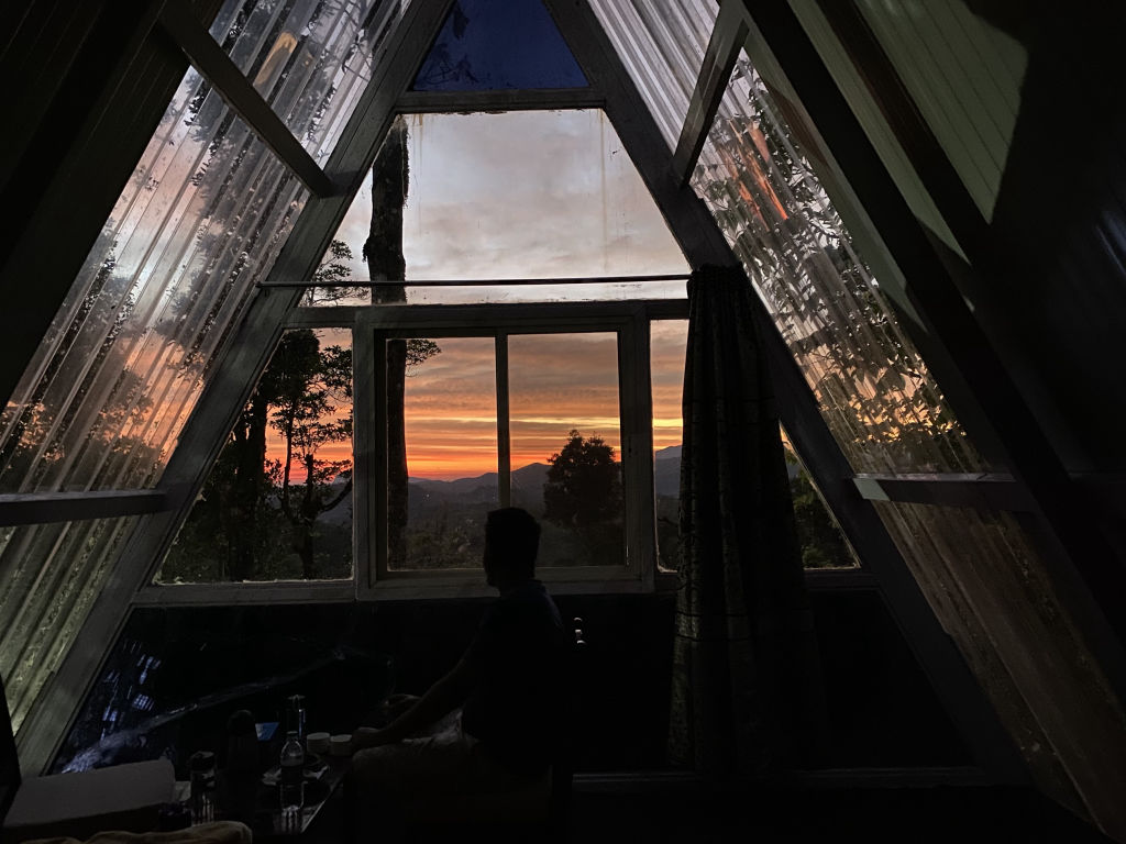
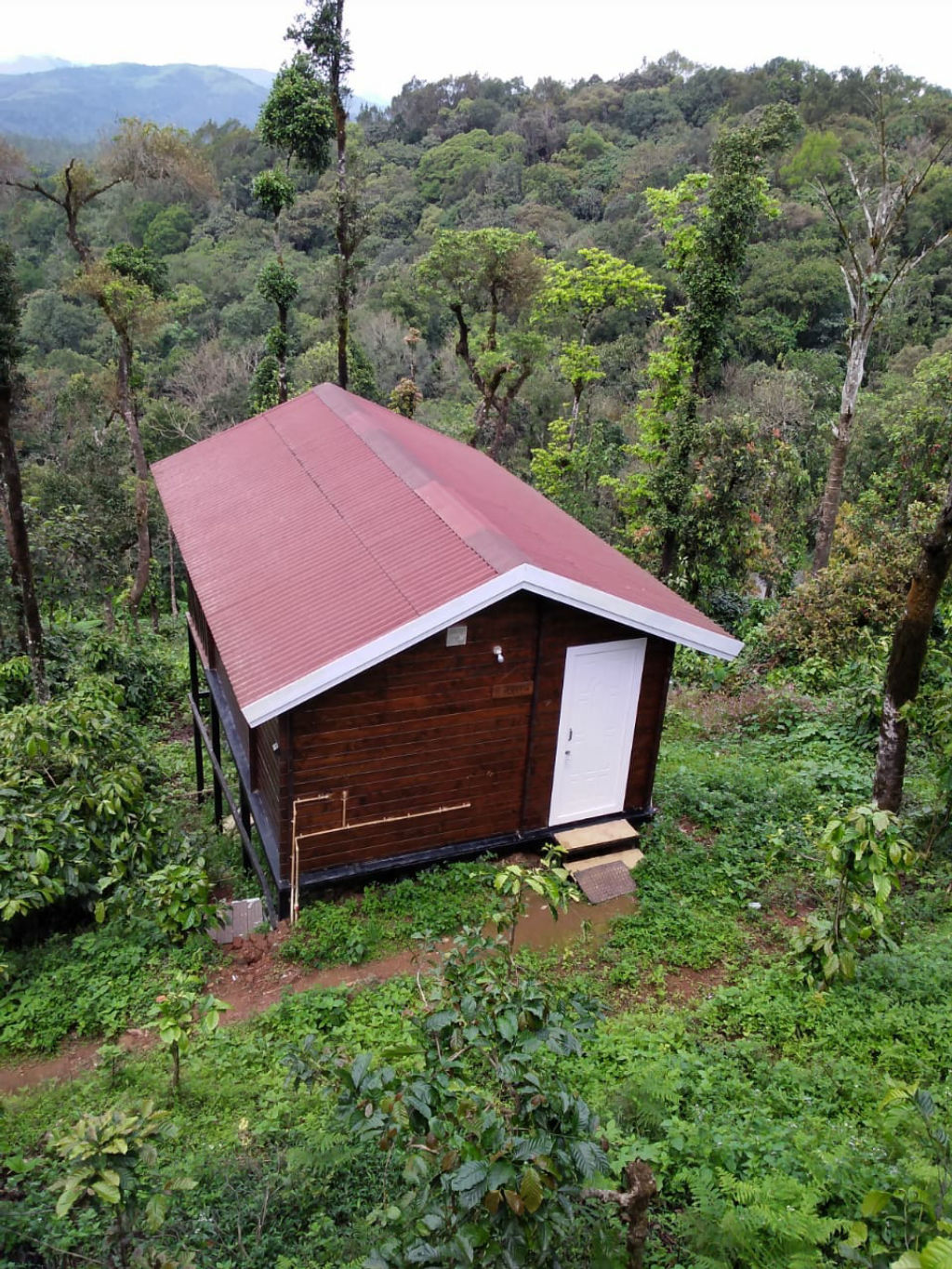
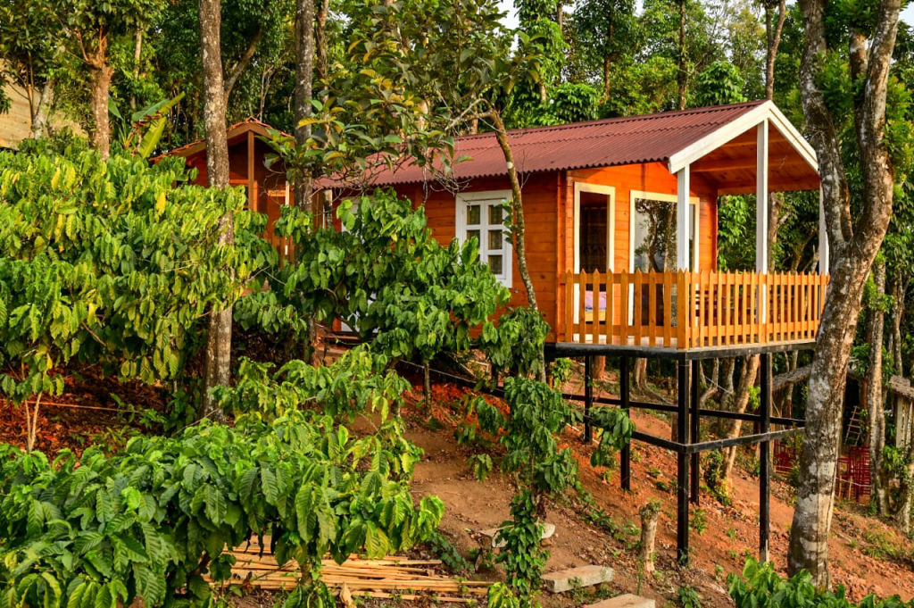
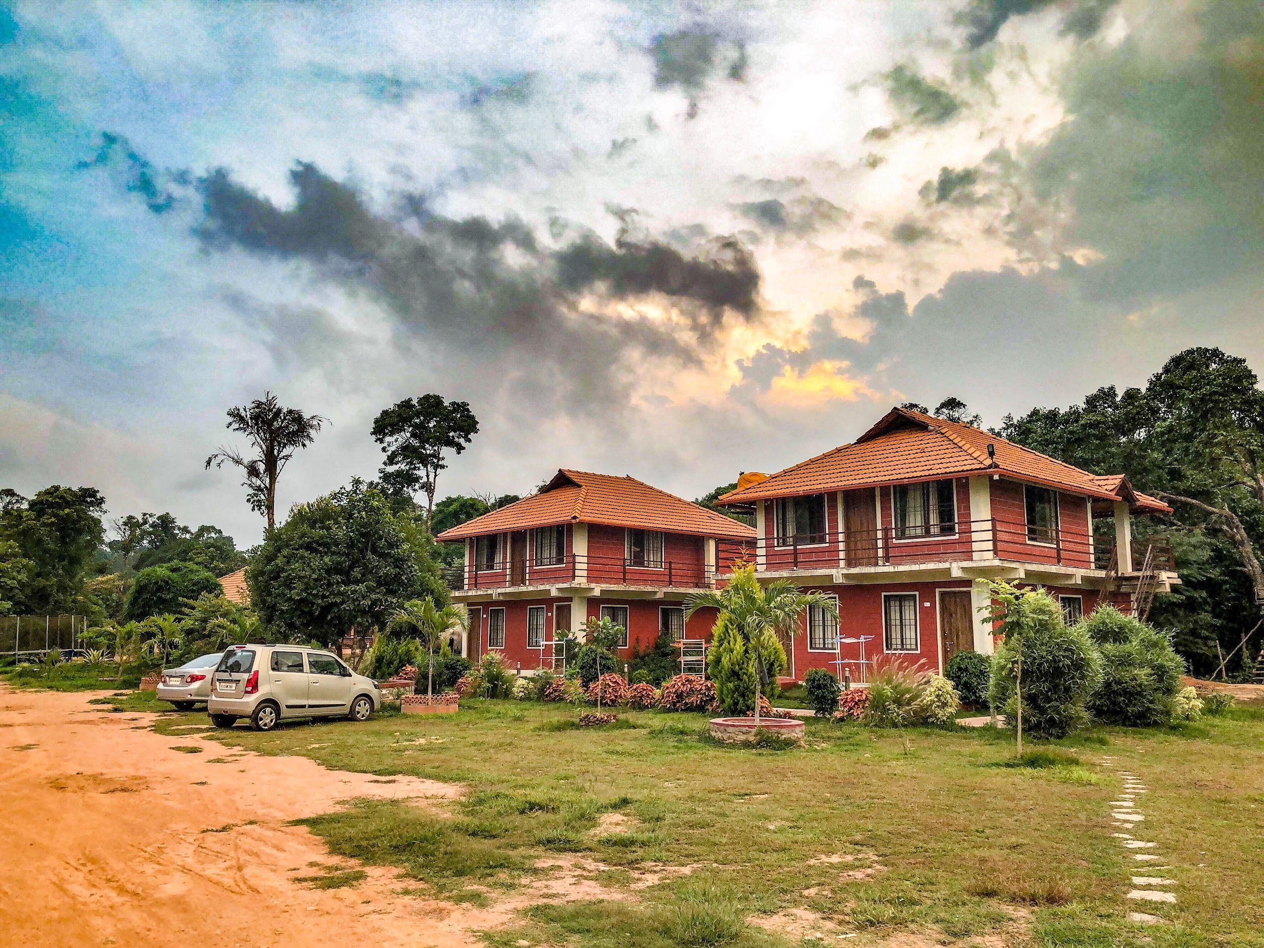
Travellers looking to spend the night close to nature can discover scenic campsites, traditional village homestays, and plantation estates in the region through HireACamp. Booking a stay nearby allows you to rest comfortably before beginning your ascent early the following morning.
Frequently asked questions
Why is the peak called Amedikal Betta?
The peak gets its name from its distinctive summit rock, which resembles the shell and form of a giant tortoise, known as 'Ame' in Kannada.
What is the difficulty level of the Amedikal Betta trek?
The trek is generally considered moderate to difficult due to steep forest trails, boulder crossings, and long exposed climbs across open grassland slopes without shade.
Do I need a local guide for Amedikal Betta?
Hiring a local guide from base villages like Shishila is strongly recommended, as the forest paths have minimal signage and can easily become confusing in dense foliage or mist.
Is camping allowed on top of Amedikal Betta?
Camping regulations in this forest belt are strict and subject to local forest department directives. Travellers should check local permissions before planning overnight stays on the mountain.
Which is the nearest town to Amedikal Betta?
The closest small settlement is Shishila, while larger nearby towns with transit connections and supplies include Dharmasthala, Kokkada, and Belthangady.
Where you'll be
Karnataka · 5 stays nearby shown with prices
Stays near Amedikal Betta
Book a place to stay close by
More places near Amedikal Betta
Within 20 km


Built from 0 Instagram posts by 0 creators. Every tip links back to the post it came from, and where creators disagree we show both sides.






