
Mandakini River
Riverside spot near Rudraprayag, Uttarakhand
500 m from Rudraprayag
The nearest town, for stays, food and fuel.
The Mandakini River is a major glacial river in the Garhwal Himalayas of Uttarakhand, originating near the Chorabari Glacier above Kedarnath. It carves a dramatic valley through mountain villages and alpine forests before meeting the Alaknanda River at Rudraprayag. Travellers, pilgrims, and outdoor enthusiasts visit its banks to experience peaceful riverside views, sacred mountain confluences, and scenic Himalayan routes.
Getting there
By road
- From RudraprayagNearest town5 min · 3.7 km
- From Dehradun3 hr 40 min · 175 km
- From New Delhi6 hr 55 min · 387 km
- From Chandigarh7 hr 20 min · 344 km
Typical drive times without traffic. Stations and airports from OLA Maps; distances and typical drive times from OpenStreetMap (© OpenStreetMap contributors); notes from creators' Reels.
About Mandakini River
Written with AI from map data and general knowledge. Check prices and timings locally before you go.
Understanding the Mandakini River
Fed by the Chorabari Glacier nestled beside the high peaks of Kedarnath, the Mandakini River is one of the most prominent tributaries of the Ganges system. The river rushes down through narrow granite gorges, boulder-strewn beds, and green terraced valleys across the Rudraprayag district. As it flows southward, it passes historically significant mountain settlements including Gaurikund, Sonprayag, Guptkashi, and Agustmuni before converging with the Alaknanda at the town of Rudraprayag.
The river holds deep spiritual resonance in Uttarakhand, as it flanks the traditional pilgrimage route to Kedarnath. Its turquoise and emerald waters in the pre-monsoon and post-monsoon months stand in stark contrast to the dark slate cliffs and dense rhododendron and oak woodlands lining the valley. The sounds of its tumbling rapids create a constant natural backdrop throughout the lower Garhwal region.
The Confluence at Rudraprayag
The terminal stretch of the Mandakini River forms one of the sacred Panch Prayags, or five holy river confluences of the Garhwal Himalayas. At Rudraprayag, the energetic flow of the Mandakini merges seamlessly into the broader, sediment-rich waters of the Alaknanda River. The two rivers display visibly distinct shades where they collide, creating a mesmerising natural sight from the town's pedestrian suspension bridges and riverbanks.
Sitting near the confluence lets visitors observe the immense hydraulic force of Himalayan runoff. Steep stone steps lead down to the water's edge at several points in Rudraprayag, where locals and travellers gather in the cooler morning and evening hours. Because river currents here are swift and unpredictable, visitors should exercise caution and avoid stepping into deep water.
Read more
Best Time to Visit
The Mandakini River valley experiences four distinct seasons, each offering a very different experience for travellers. The spring and summer months from March to early June bring pleasant daytime temperatures, blooming hillsides, and clear turquoise waters as winter snow begins to melt up in the high peaks. This is an ideal window for road trips, riverside walks, and landscape photography.
The monsoon season runs from July through early September and brings intense rainfall to the Garhwal Himalayas. The Mandakini swells considerably during this period, turning into a roaring, silt-laden torrent, and the surrounding mountains become prone to landslides and roadblocks. Leisure travel during peak monsoon months requires high caution and constant monitoring of local weather updates.
From late September through November, the post-monsoon season brings crisp mountain air, clear blue skies, and unobstructed vistas of the distant snowy ranges. The river recedes to a steady, clear flow. Winter sets in from December to February, bringing cold nights and brisk sunny days to Rudraprayag, though snow usually remains confined to the higher reaches of the valley.
Things to Do Along the River
Spending time along the Mandakini is centered on absorbing the natural beauty and spiritual atmosphere of the Garhwal valley. Riverside meditation and leisurely walks along the safe, accessible banks near Rudraprayag and Tilwara provide a quiet respite from road travel. The valley is also a rich corridor for birdwatchers, who can look out for river lapwings, white-capped redstarts, kingfishers, and Himalayan vultures soaring over the ridges.
Photographers will find continuous inspiration along the Badrinath and Kedarnath highway corridors that trace the river. The interplay of morning mist over the water, tiered hillside farms, and traditional slate-roofed homes makes for compelling scenes. Visiting during village weekly markets along the riverbanks gives travellers an authentic glimpse into local Garhwali mountain life.
How to Reach the Mandakini River
The most convenient base to access the lower stretch of the Mandakini River is the town of Rudraprayag. Rudraprayag is well connected by the national highway network running between Rishikesh, Badrinath, and Kedarnath. Travellers typically begin their road journey from Rishikesh or Haridwar, driving along the scenic winding highway through Devprayag and Srinagar.
The nearest railway stations with broad connectivity are located in Rishikesh and Haridwar. The closest commercial airport is Jolly Grant Airport in Dehradun. From Dehradun, Rishikesh, or Haridwar, regular state transport buses, shared mountain taxis, and private rental cabs ply directly to Rudraprayag. Driving during daylight hours is recommended due to winding mountain roads and occasional highway maintenance work.
Places to Visit Nearby
A trip to the Mandakini River can easily be combined with exploring the historic temples and vantage points of the surrounding hills. Chandrabadani Temple sits atop a prominent ridge roughly 24 to 34 kilometres away, offering sweeping 360-degree views of the Garhwal Himalaya and the surrounding valleys. High above the Alaknanda side of the ridge lies Pauri Kandoliya, a forested park area known for pine woods and tranquil views across the mountain ranges.
Further down the highway towards Devprayag, travellers can visit the ancient Raghunath Mandir and view the mighty Ganges river, which officially takes form at the confluence of the Alaknanda and Bhagirathi. For those interested in river geography, crossing westward into the Tehri district brings you to the Bhilangna River valley, another picturesque glacial stream carving through remote Himalayan farming villages.
Tips for Your Visit
Safety should be your main priority whenever exploring Himalayan riverbeds. The Mandakini is a swift-flowing glacial river with strong undercurrents and smooth, slippery river stones. Always heed local signage, avoid entering the river during high discharge periods, and stay well back from steep, unpaved embankments.
Pack clothing suitable for sudden changes in weather. Even in the summer, evenings can turn cool, while autumn and winter demand warm thermal layers, windproof jackets, and comfortable walking shoes with reliable grip. Carry reusable water bottles to avoid plastic waste in sensitive river ecosystems, and always check route conditions locally before setting out on onward journeys.
Where to Stay Near the Mandakini River
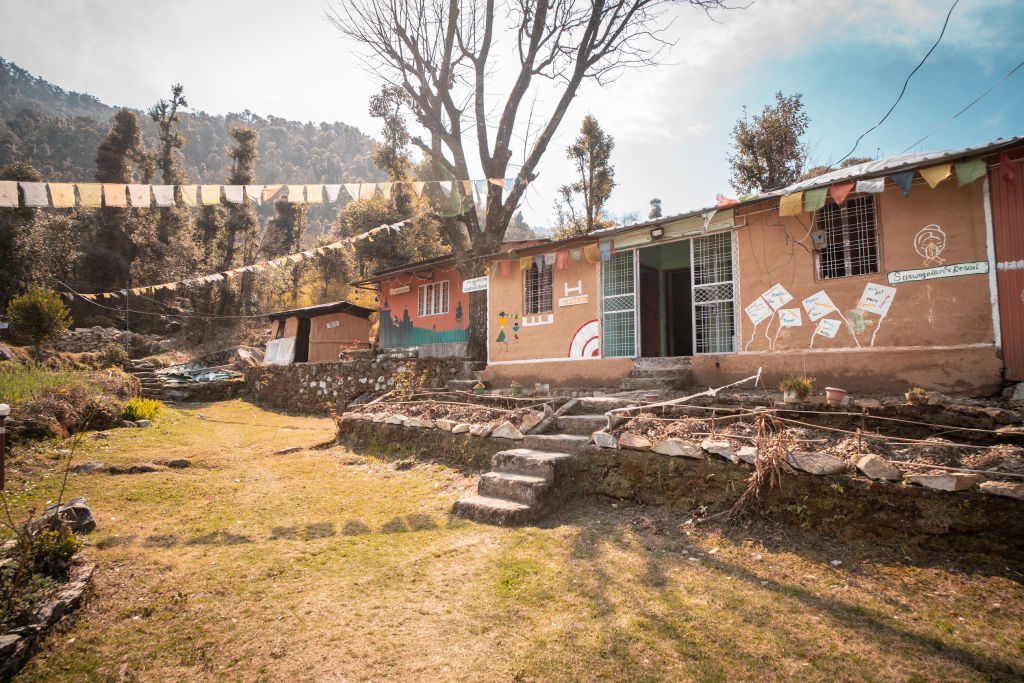
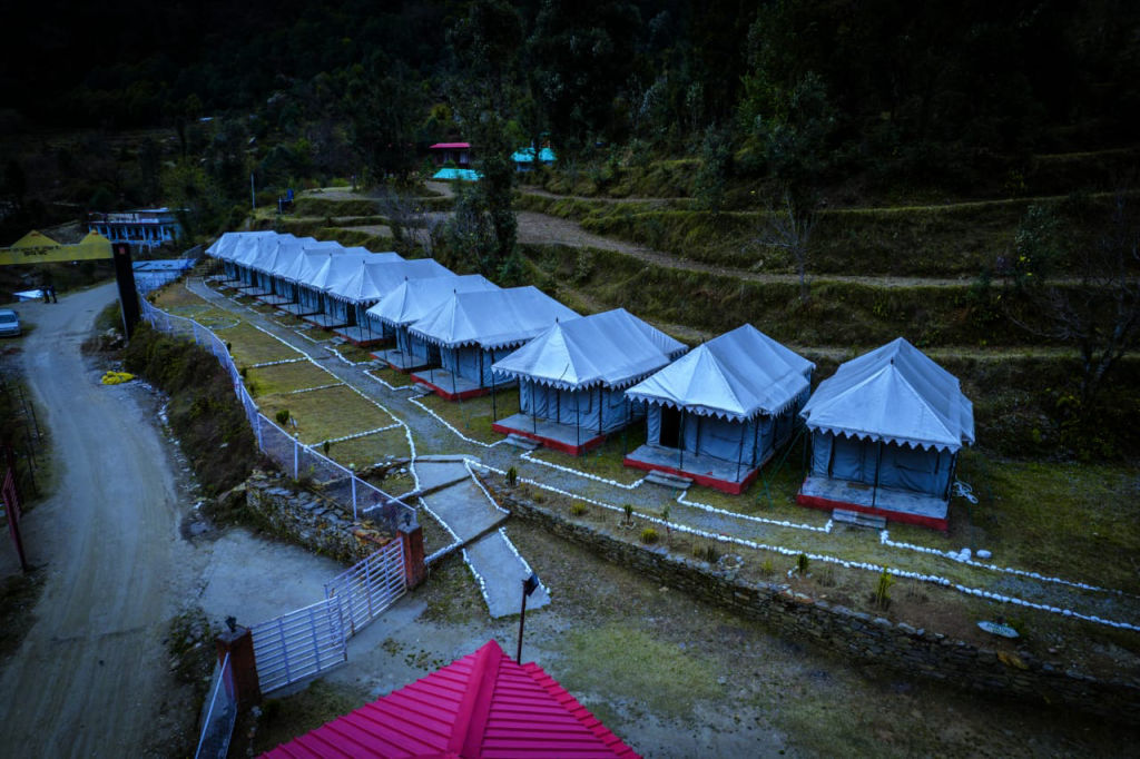
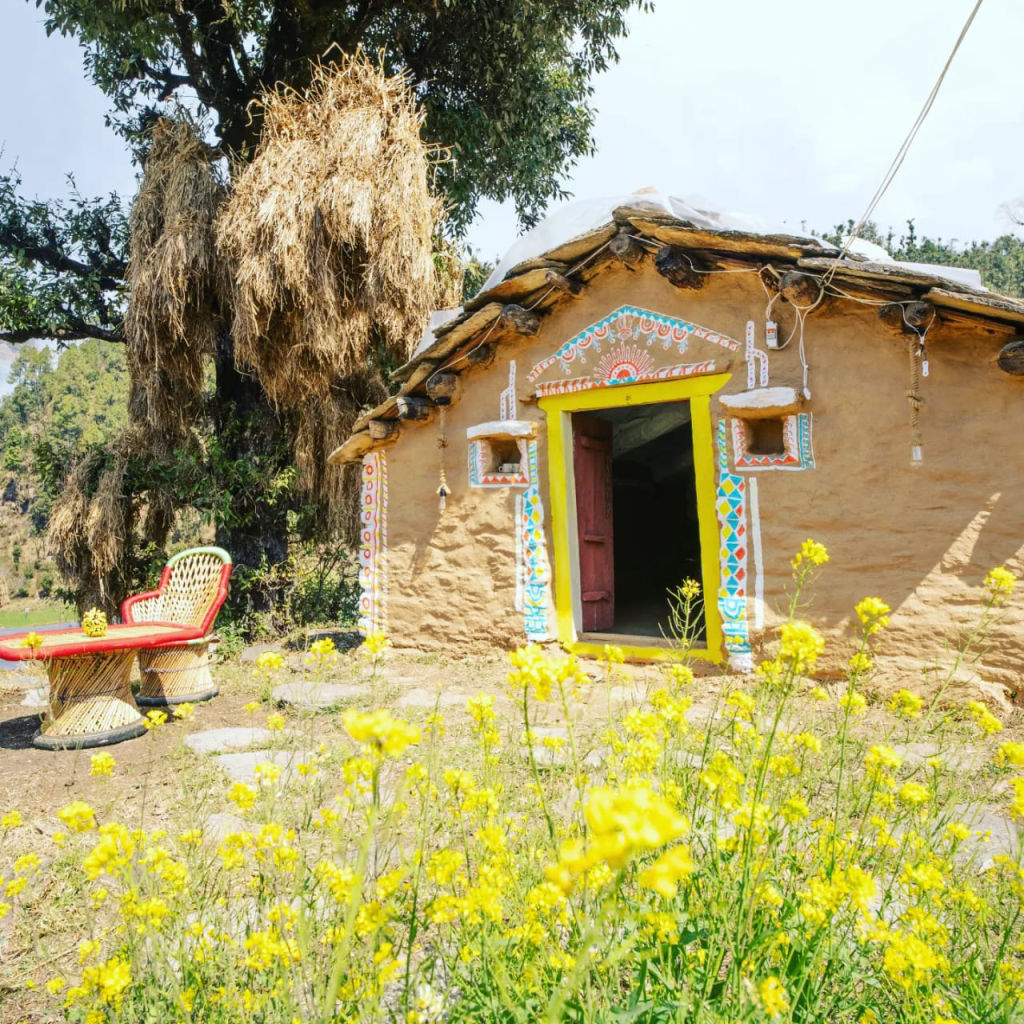
Accommodation options along the Mandakini River range from modest riverside homestays run by local Garhwali families to rustic camps nestled in green orchards and valley terraces. Staying slightly outside the main bazaar of Rudraprayag offers a quieter experience where you can fall asleep to the sound of flowing water.
Whether you are looking for an authentic village homestay, an eco-friendly camp, or a comfortable base for regional day trips, you can find and book vetted stays near the Mandakini River on HireACamp.
Frequently asked questions
Where does the Mandakini River meet the Alaknanda River?
The Mandakini River meets the Alaknanda River at the town of Rudraprayag in Uttarakhand, forming one of the sacred Panch Prayags.
Where does the Mandakini River originate?
The Mandakini originates from the Chorabari Glacier near Kedarnath in the high Garhwal Himalayas.
Can you swim in the Mandakini River?
Swimming is generally unsafe and strongly discouraged due to freezing water temperatures, rocky beds, and powerful glacial currents.
What is the best time to see the Mandakini River?
The best months to visit are from March to June for pleasant weather, and from late September through November for clear blue waters and mountain views.
How far is the Mandakini River from Rishikesh?
The river confluence at Rudraprayag is located along the national highway network running upwards from Rishikesh, typically reached in several hours of scenic mountain driving.
Where you'll be
Rudraprayag · 3 stays nearby shown with prices
Stays near Mandakini River
Book a place to stay close by
More places near Mandakini River
Within 20 km


Built from 0 Instagram posts by 0 creators. Every tip links back to the post it came from, and where creators disagree we show both sides.






