
Rudraprayag Sangam View Point
Heritage & Culture near Rudraprayag, Uttarakhand
600 m from Rudraprayag
The nearest town, for stays, food and fuel.
Rudraprayag Sangam View Point marks the revered confluence of the Alaknanda and Mandakini rivers in the rugged Garhwal region of Uttarakhand. Situated right in the bustling mountain town of Rudraprayag, it serves as a historic transit hub and spiritual landmark for travellers heading towards the higher Himalayan shrines. Visitors stop here to witness the dramatic mingling of two distinct glacial rivers set against steep mountain cliffs.
Getting there
By road
- From RudraprayagNearest town5 min · 3.6 km
- From Dehradun3 hr 40 min · 175 km
- From New Delhi7 hr · 387 km
- From Chandigarh7 hr 20 min · 344 km
Typical drive times without traffic. Stations and airports from OLA Maps; distances and typical drive times from OpenStreetMap (© OpenStreetMap contributors); notes from creators' Reels.
About Rudraprayag Sangam View Point
Written with AI from map data and general knowledge. Check prices and timings locally before you go.
The significance of Rudraprayag Sangam
Rudraprayag is celebrated as one of the Panch Prayag, the five sacred river confluences along the Alaknanda river system in Uttarakhand. At this specific point, the Alaknanda, originating from the glacial slopes near Badrinath and Satopanth, meets the Mandakini, which rushes down from the Chorabari Glacier above Kedarnath. In Hindu mythology, the town is named after Lord Shiva in his Rudra incarnation, who is believed to have appeared here to bless the sage Narada with deep mastery of music.
Beyond mythology, the sangam has stood for centuries as an essential geographical marker. Long before paved highways, pilgrims traversing the Himalayan footpaths paused at Rudraprayag before choosing their route upward into the Kedarnath valley along the Mandakini or toward the Badrinath heights along the Alaknanda. The sense of ancient passage and religious continuity remains palpable along the riverbank.
What to see at the viewpoint
The view point along the bypass road offers a sweeping vantage over the entire gorge. From above, the visual distinction between the two merging waterways is striking. Depending on the season, the Alaknanda often runs with a deeper slate-grey or turquoise hue, while the Mandakini rushes in with a brisk, frothy emerald tone. The two currents push against each other with immense power before blending into a single, wider course flowing south.
Down near the water level, stone ghats and temples line the rocky edge, including shrines dedicated to Lord Rudra and Chamunda Devi. Walking down the stepped pathways brings you close to the sheer roar of the water, where cool mountain spray fills the air. A suspension bridge spans the gorge nearby, offering alternative angles of the river canyon, surrounding hills, and local town life.
Read more
Best time to visit
The appearance of the sangam changes dramatically across the year. The autumn months from October through November are widely considered the most picturesque. During this post-monsoon period, the river waters settle down, turning clear and brilliant shades of green and turquoise against crisp blue skies. The weather in autumn is pleasant during the day and comfortably cool at night.
Spring and early summer, from March to June, bring warm days and clear access, coinciding with the opening of the Char Dham pilgrimage season. The viewpoint is energetic and bustling during these months. Winter brings cold, crisp air and quieter ghats, making it suitable for travellers seeking peaceful contemplation. The monsoon months of July and August see heavy downpours that cause both rivers to swell into roaring, silt-heavy torrents. While the volume of water is impressive, heavy rains in the Garhwal region can cause road closures and landslides, so mountain journeys during the rains require careful tracking of local weather forecasts.
How to reach Rudraprayag Sangam View Point
Rudraprayag Sangam View Point is situated directly off the Rudraprayag Bypass Road on National Highway 7, which links Rishikesh to Joshimath and Mana. It also marks the starting point of the highway branch leading northward toward Guptkashi and Gaurikund.
For those arriving from outside the region, the nearest broad-gauge railway stations are located down in Rishikesh and Haridwar, while the closest commercial airport is Jolly Grant Airport in Dehradun. From these foothills transport hubs, travellers can journey up into the mountains via regular state transport buses, shared jeeps, or private taxis that follow the scenic course of the Ganges and Alaknanda rivers past Devprayag and Srinagar. Once in Rudraprayag town, the sangam area and its roadside viewpoints are easily reached on foot or by local auto-rickshaws.
Places to explore nearby
Rudraprayag makes an ideal base for exploring deeper pockets of the Garhwal district. Travelling north along the Mandakini valley leads to scenic stops like Augustmuni and Guptkashi, which serve as base camps for higher treks and village walks. The high-altitude meadows of Chopta, famous for dense rhododendron forests and panoramic views of the Chaukhamba peaks, are accessible by road from the Rudraprayag district.
Travellers interested in hilltop temples can make a trip to the revered Chandrabadani Temple or explore quiet high-altitude lakes such as Badhani Tal, nestled amidst quiet pastoral landscapes. Downstream, historic towns like Srinagar and Devprayag offer further opportunities to learn about Garhwali architecture, riverside rituals, and ancient trade routes.
Tips for your visit and where to stay
When visiting the sangam, wear sturdy shoes with good traction, as the stone stairs and paths leading down to the water can be slick with moisture or silt. The currents at the confluence are fierce and deceptively fast; do not attempt to swim or wade beyond designated bathing enclosures on the ghats. Modest dress is advised around the ghats and adjacent shrines, in line with local traditions.
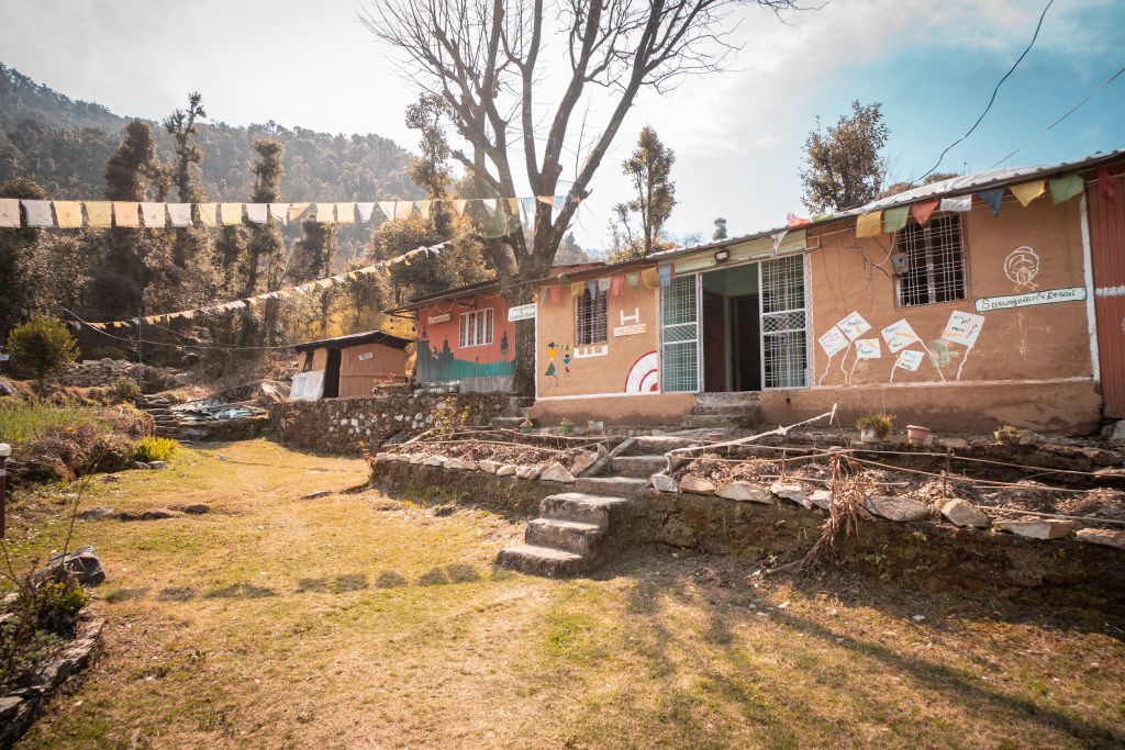
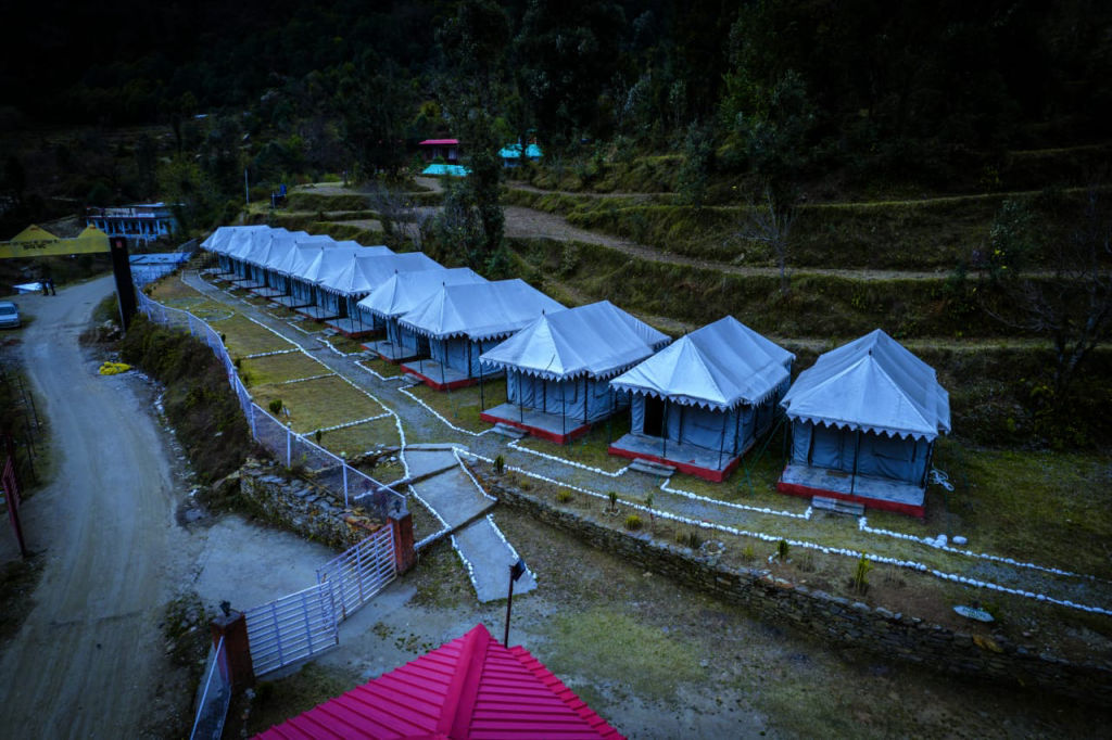
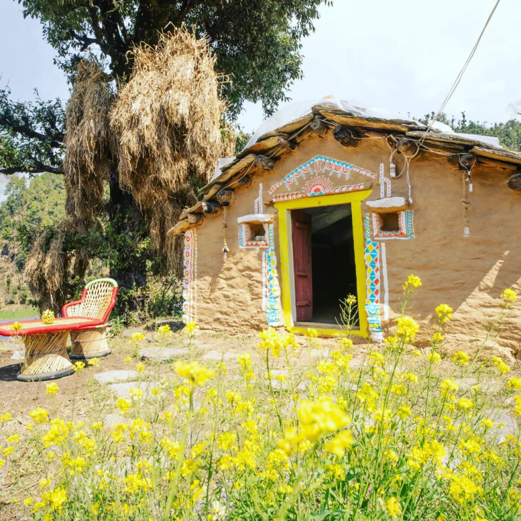
Rudraprayag offers a range of accommodations suited to transit travellers and nature lovers alike. If you are looking for peaceful riverside stays, traditional village homestays, or scenic camps in the surrounding valleys and ridges, you can find and book vetted options on HireACamp.
Frequently asked questions
Which two rivers meet at Rudraprayag Sangam?
Rudraprayag marks the sacred confluence of the Alaknanda River, coming from the Badrinath region, and the Mandakini River, which flows down from Kedarnath.
Is it safe to bathe in the river at Rudraprayag Sangam?
The water current at the confluence is very strong and powerful. Visitors should avoid venturing into the open flow and only use secure steps or designated ghat areas with iron safety chains.
When can you see the two different colors of the rivers clearly?
The visual contrast between the emerald Mandakini and the silt-toned Alaknanda is clearest during autumn and winter, from October through April, when the waters run clean.
Do I need an entry permit or ticket to visit the sangam?
No entry ticket or special permit is required to visit the roadside viewpoint or the public ghats at Rudraprayag Sangam.
Can I visit Rudraprayag Sangam on the way to Kedarnath or Badrinath?
Yes, Rudraprayag is the main junction point on the highway network where the routes to Kedarnath and Badrinath divide, making it a natural stop for travellers on both pilgrimage circuits.
Where you'll be
Rudraprayag Bypass Rd, Rudraprayag · 3 stays nearby shown with prices
Stays near Rudraprayag Sangam View Point
Book a place to stay close by
More places near Rudraprayag Sangam View Point
Within 20 km


Built from 0 Instagram posts by 0 creators. Every tip links back to the post it came from, and where creators disagree we show both sides.






