
Rupin Pass Trek
Trek near Dodra, Himachal Pradesh
1.2 km from Dodra
The nearest town, for stays, food and fuel.
Rupin Pass Trek is a classic high-altitude crossover trail spanning the border between Uttarakhand and Himachal Pradesh. Starting in deep river valleys and climbing past remote hamlets like Jakha, it crosses a rugged mountain pass before descending into the Kinnaur region. Trekkers are drawn to its dramatic changes in scenery, which shift from pine forests and glacial waterfalls to vast alpine snowfields.
Getting there
By road
- From DodraNearest town14 min · 6.3 km
- From Dehradun7 hr 20 min · 307 km
- From Chandigarh7 hr 20 min · 299 km
- From Ludhiana9 hr 15 min · 401 km
Typical drive times without traffic. Stations and airports from OLA Maps; distances and typical drive times from OpenStreetMap (© OpenStreetMap contributors); notes from creators' Reels.
About Rupin Pass Trek
Written with AI from map data and general knowledge. Check prices and timings locally before you go.
About the Rupin Pass Trek
The Rupin Pass Trek is celebrated among Himalayan hikers as one of the most dynamic crossover trails in India. Rising to an elevation well above four thousand metres, the route connects the Tons river valley with the Sangla valley in Kinnaur, crossing directly past the hanging village of Jakha in the Dodra Kwar region.
What sets this trail apart is the rapid evolution of terrain day after day. You begin amidst terraced farms, mixed broadleaf woods, and deep gorges where the Rupin River carves through steep rock. As elevation increases, thick forests give way to birch trees, sprawling alpine meadows, and eventually barren moraines, glacial valleys, and sheer snow gullies.
Trail highlights and scenery
One of the standout features of the Rupin Pass trail is the dramatic Rupin waterfall, a multi-tiered cascade plunging down a massive rock amphitheatre. Climbing along the watercourse presents a stunning perspective of melting snow feeding the torrent below. Higher up, the trail passes through lush meadows known locally as thaches, which serve as grazing grounds for migratory shepherds during the warmer months.
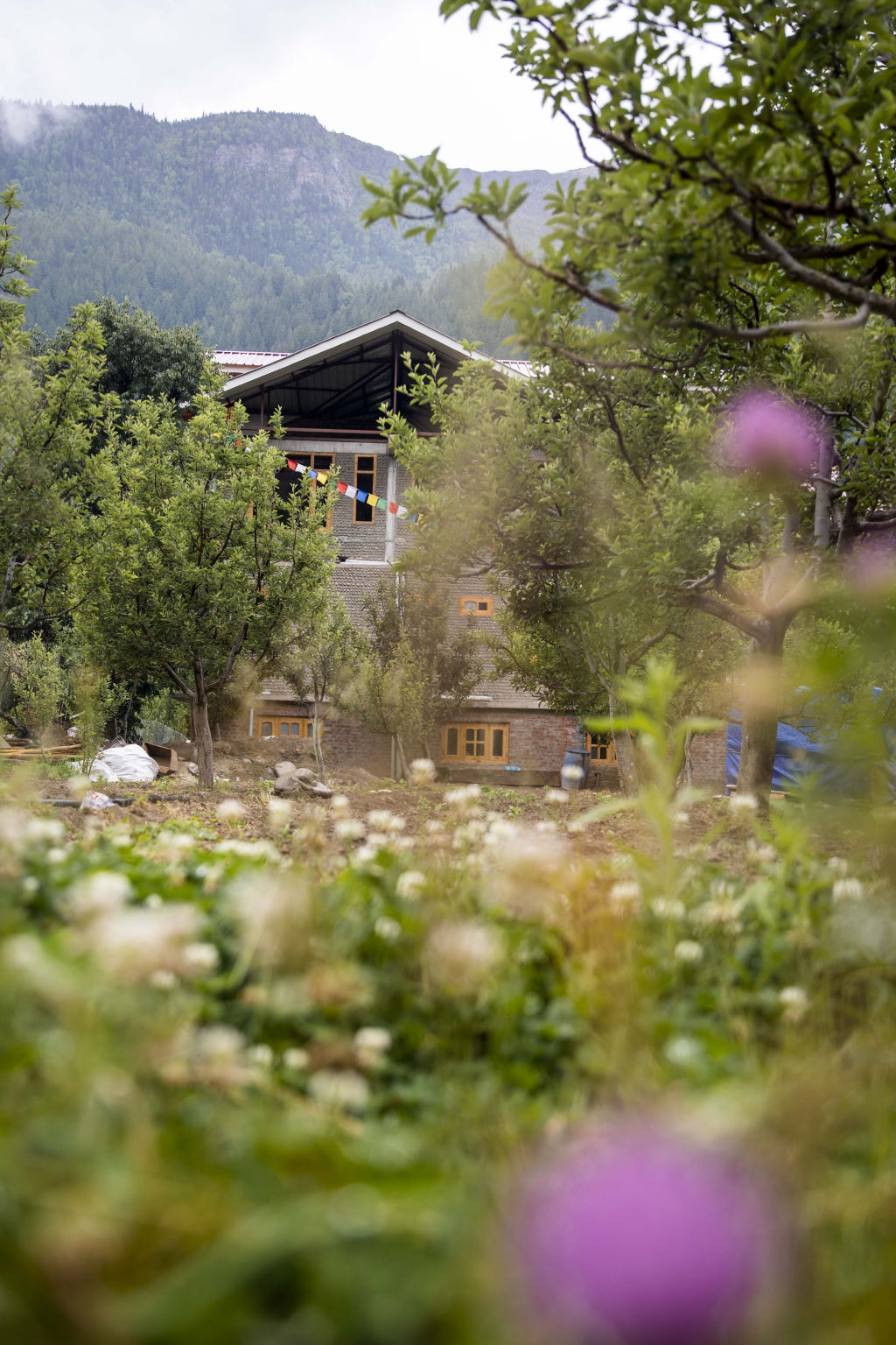
Village culture is an equally memorable element of the journey. Passing through settlements like Jakha, often called the hanging village due to its position perched on an almost vertical cliffside, allows hikers to observe traditional wooden architecture, slate-roofed homes, and the self-sufficient mountain lifestyle of the valley communities. Beyond the pass, the horizon opens to sweeping views of the Kinnaur Kailash range.
Read more
Best time to visit
The trek is typically undertaken during two distinct windows in the year: pre-monsoon and post-monsoon. The pre-monsoon window spans from late May to the end of June. During this period, snow lingers across the upper gullies and the pass itself, creating thrilling snow crossings while the lower valleys burst into vibrant green.
The post-monsoon season runs from mid-September to late October. By this time, most of the snow has melted, revealing rugged rock features, crystalline streams, and clear autumn skies. Daytime temperatures are generally pleasant for walking, though nights turn sharply cold as the season advances toward winter. The monsoon months of July and August should be avoided due to heavy rainfall, slick trails, and the risk of landslides.
Fitness and preparation
Rupin Pass is considered a moderate to difficult trek, requiring solid physical endurance and mental resilience. The journey involves long walking days, steep ascents across loose scree and snow, and considerable altitude gain within a short span. Building cardiovascular stamina through regular running, cycling, or stair climbing well before your departure is essential.
Proper acclimatisation is critical to safety on this route. Walk at a measured, consistent pace, drink plenty of water throughout the day, and pay close attention to any symptoms of acute mountain sickness. Packing requires warm thermal layers, a sturdy windproof and waterproof outer shell, well-broken-in trekking boots with ankle support, trekking poles, and reliable sun protection for high-altitude snowfields.
How to reach
The Rupin Pass Trek is commonly accessed through base villages in Uttarakhand or the Dodra Kwar region of Himachal Pradesh. Travellers heading toward the traditional trailhead typically travel first to Dehradun, which is well connected by rail, road, and air from major Indian cities. From Dehradun, mountain roads lead upstream along the Yamuna and Tons rivers to remote roadheads where trekking begins.
Alternatively, travellers approaching from the Himachal side traverse the Shimla district, winding through Rohru and crossing high mountain passes into the Dodra Kwar valley. Because mountain roads are subject to weather conditions and maintenance work, it is wise to plan for flexible travel days on either side of the hike.
Places to visit nearby
The surrounding landscape is rich in cultural shrines, pristine riverbanks, and untamed wildlife reserves. Across the regional boundary lies Govind Pashu Vihar National Park, an expansive protected area that shelters rare Himalayan fauna such as the snow leopard, musk deer, and various high-altitude pheasant species.
In the nearby valleys, historic wooden shrines like the Mahasu Devta Temple at Hanol and the Pawasi Devta Temple at Thadiyar stand as magnificent examples of indigenous hill architecture and regional spiritual heritage. Nature enthusiasts can also explore the serene banks of the Pabar River near Rohru, undertake high-altitude detours toward Baraadsar Lake, or hike across the scenic Phulara ridge for wide-angle mountain vistas.
Where to stay
During the trek itself, accommodation consists primarily of wilderness campsites set up on riverside flats and high-altitude alpine meadows. In base villages like Jakha and neighbouring settlements, local homestays provide simple, warm hospitality with home-cooked meals and an authentic look into village life.
For basecamp lodgings, tranquil homestays, and outdoor camps around the access towns in Himachal Pradesh and Uttarakhand, you can browse listings on HireACamp to secure suitable stays before and after your expedition.
Frequently asked questions
How difficult is the Rupin Pass Trek?
The trek is rated moderate to difficult due to steep altitude gain, long walking days, and technical sections involving snow gullies and scree. It requires good cardiovascular fitness, prior hiking experience, and proper acclimatisation.
What is the best season to do the Rupin Pass Trek?
The best months are late May to June for snow crossings and green landscapes, and mid-September to late October for clear blue skies and crisp autumn conditions. The monsoon months of July and August should be avoided.
What is village Jakha known for?
Village Jakha is famous as the hanging village on the Rupin Pass route because it appears perched dramatically on a steep mountain slope, featuring traditional multi-story wooden houses.
Do I need special gear for Rupin Pass Trek?
Yes, you should carry sturdy trekking shoes with reliable grip, thermal base layers, a windproof and waterproof jacket, UV sunglasses, trekking poles, and warm gloves. Microspikes or gaiters may also be necessary depending on seasonal snow levels.
Where does the Rupin Pass Trek begin and end?
The classic trail starts from the Tons river basin near Mori or Dhaula, passes through remote hamlets like Jakha, crosses the pass, and concludes on the Himachal side in the Sangla valley.
Where you'll be
Rupin Pass, village Jakha, 171221, Dodra Kwar · 1 stay nearby shown with prices
Stays near Rupin Pass Trek
Book a place to stay close by
More places near Rupin Pass Trek
Within 20 km
Built from 0 Instagram posts by 0 creators. Every tip links back to the post it came from, and where creators disagree we show both sides.






