
Tadiandamol Peak
Peak near Kakkabe, Karnataka
5.9 km from Kakkabe
The nearest town, for stays, food and fuel.
Tadiandamol Peak is the highest mountain summit in Kodagu district and the third highest in Karnataka, rising along the edge of the Western Ghats. Set against sprawling shola forests and rolling grasslands near the village of Kakkabe, it is one of southern India's most celebrated trekking destinations. Travellers and outdoor enthusiasts visit to experience the trail's panoramic vistas across misty valleys and rich biodiversity.
Getting there
By road
- From KakkabeNearest town8 min · 4.2 km
- From Mysuru3 hr 10 min · 132 km
- From Mangaluru3 hr 25 min · 162 km
- From Bengaluru5 hr 25 min · 278 km
Typical drive times without traffic. Stations and airports from OLA Maps; distances and typical drive times from OpenStreetMap (© OpenStreetMap contributors); notes from creators' Reels.
About Tadiandamol Peak
Written with AI from map data and general knowledge. Check prices and timings locally before you go.
About Tadiandamol Peak
Tadiandamol Peak stands as a commanding presence in the Western Ghats, located in the southwestern corner of Karnataka within the Kodagu district. Its name derives from local roots implying a broad or lofty summit, an apt title given that it forms the highest point in Coorg. The mountain acts as a natural buffer between Karnataka and Kerala, with its western slopes falling away toward the coastal lowlands.
The terrain shifts dramatically as you ascend. Lower segments wind past sprawling coffee estates, pepper vines, and dense broadleaf evergreen woodlands before entering high-altitude shola-grassland ecosystems. These delicate montane grasslands are interspersed with patches of stunted evergreen forests in valleys and hollows, creating a mosaic of varied habitats home to endemic birds, butterflies, and diverse flora.
The Trek to Tadiandamol
The trek to Tadiandamol Peak typically begins near Kakkabe, navigating winding trails that start as gentle unpaved roads and transition into rocky paths. Along the way, hikers pass through patches of canopy shade before stepping onto open ridgelines exposed to the elements. The trail is generally considered moderately challenging, making it approachable for determined beginners while still offering enough elevation gain to engage experienced hikers.
A key landmark along the ascent is the plateau area often referred to as the false peak, where the tree line ends and the summit cone comes into full view. From this ridge onwards, the path steepens, negotiating loose soil, rock slabs, and occasional gusty crosswinds. Reaching the top rewards trekkers with an uninterrupted view of emerald ridges rolling into the horizon, often partially shrouded in floating banks of cloud.
Read more
Best Time to Visit Tadiandamol
The ideal time to hike Tadiandamol Peak runs from October through March, when post-monsoon freshness transitions into cool, clear winter days. During these months, daytime temperatures are comfortable for hiking, visibility is generally sharp, and the grasslands retain a deep green hue before turning golden as dry weather settles in.
The monsoon season from June to September brings heavy downpours, thick mist, and active leech populations along the lower forest trails. While the landscape is intensely lush during these months, the rocks can turn slippery and heavy cloud cover often obscures summit views. The pre-monsoon summer period between April and May brings warmer afternoons, though early mornings remain relatively pleasant.
How to Reach Tadiandamol
Tadiandamol Peak is accessible via the village of Kakkabe, which serves as the primary base for hikers. Travellers arriving by road from major cities like Bengaluru or Mysuru typically travel toward Madikeri or Virajpet before catching regional buses or hiring local transport to reach Kakkabe and the trailhead.
The nearest major railway hub is Mysuru, while the closest domestic and international air gateways are Kannur International Airport in Kerala and Mangaluru Airport in Karnataka. From these transport hubs, private taxis and state transport buses run regular services into the Coorg district. Having private or rented transportation provides greater flexibility when coordinating morning starts at the base of the peak.
Tips for Your Trek
Starting early in the morning is essential when attempting Tadiandamol Peak. An early start ensures you avoid midday heat on the unsheltered upper slopes and leaves ample daylight for the descent. Sudden afternoon weather changes, including mist and rain, can roll in quickly, so monitor local weather forecasts before departing.
Carry sufficient drinking water, energy snacks, and a sturdy windproof or rain jacket. Wear broken-in hiking shoes with reliable grip to handle loose gravel and damp rocks. Forest department permissions or check-post registrations may apply depending on the season, so it is advisable to check local guidelines and regulations in Kakkabe before setting out. Respect the pristine mountain environment by carrying back all personal trash and leaving no waste behind.
Places to Visit Near Tadiandamol
A trip to Tadiandamol easily pairs with several natural and cultural landmarks across Kodagu. Nearby Kakkabe is home to the historic Padi Sri Subraya Temple, a revered shrine nestled amid forest groves. Travellers interested in regional heritage can also explore Bhagandeshwara Temple and the sacred river confluence at Triveni Sangama in Bhagamandala.
Further west lies Talakaveri, the traditional origin of the sacred Cauvery River set against the slopes of Brahmagiri, accompanied by the expansive Talakaveri Wildlife Sanctuary. To the east and south, towns such as Virajpet and Madikeri offer heritage structures, viewpoints like Raja's Seat, and gentle day hikes such as the Kopatty Trek, allowing visitors to experience the wider diversity of the district.
Where to Stay Near Tadiandamol
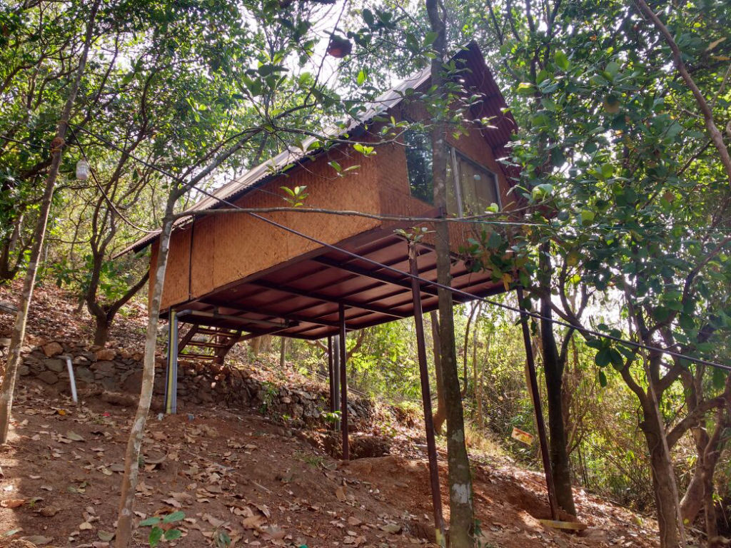
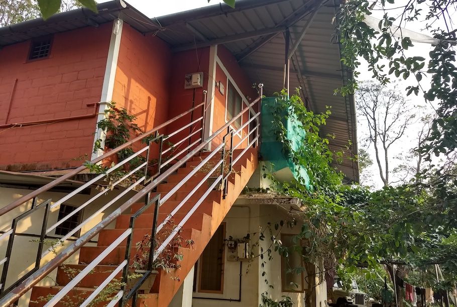
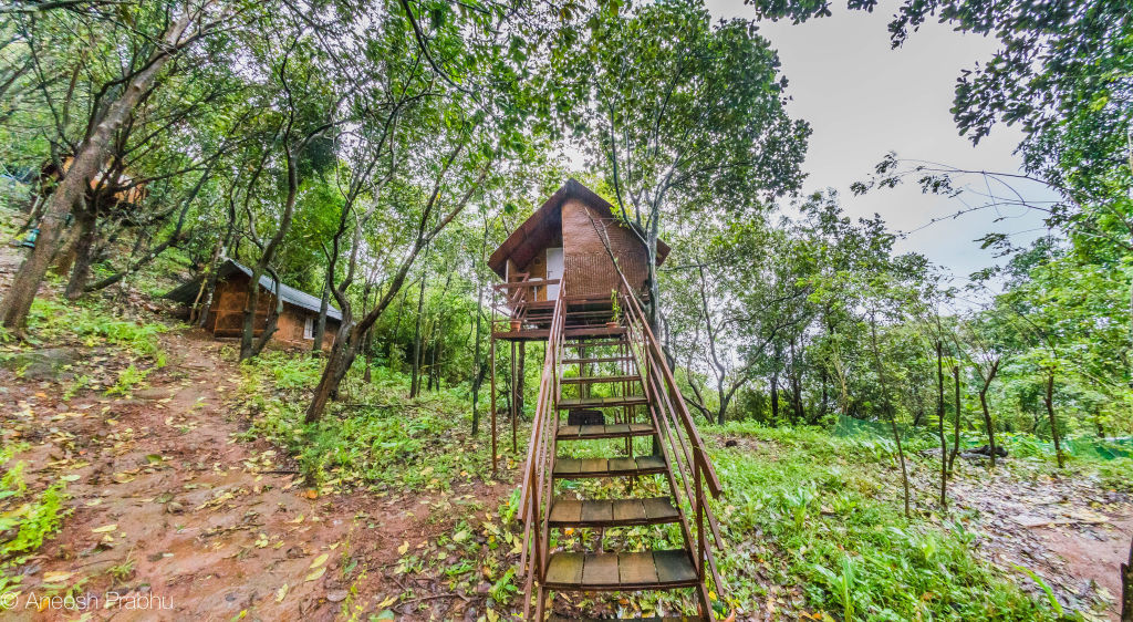
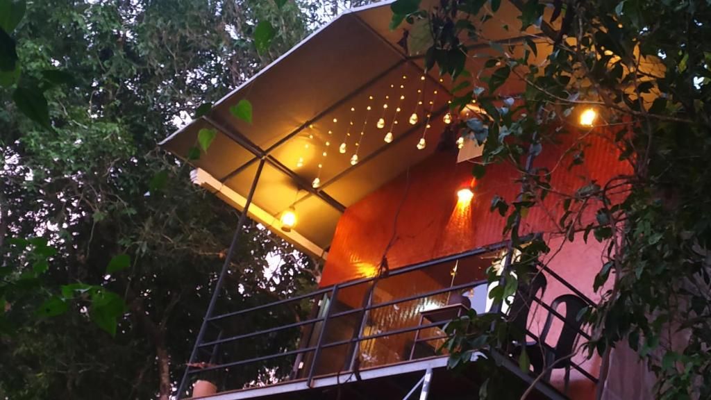
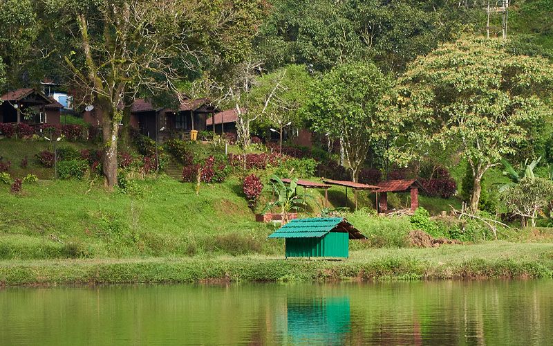
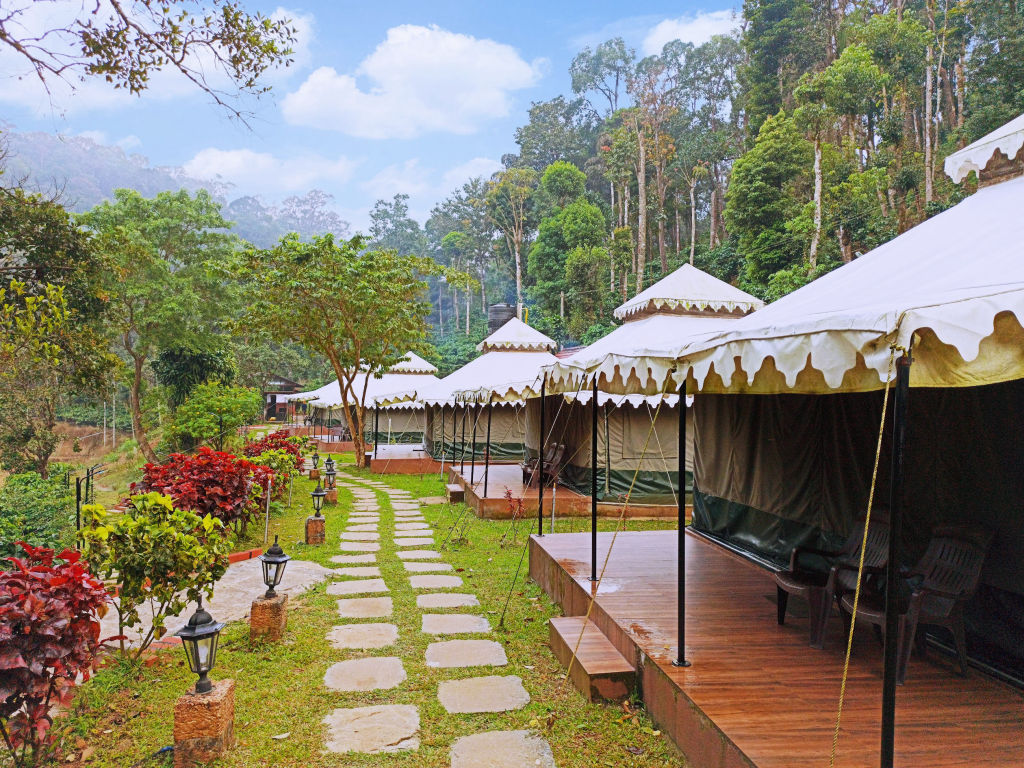
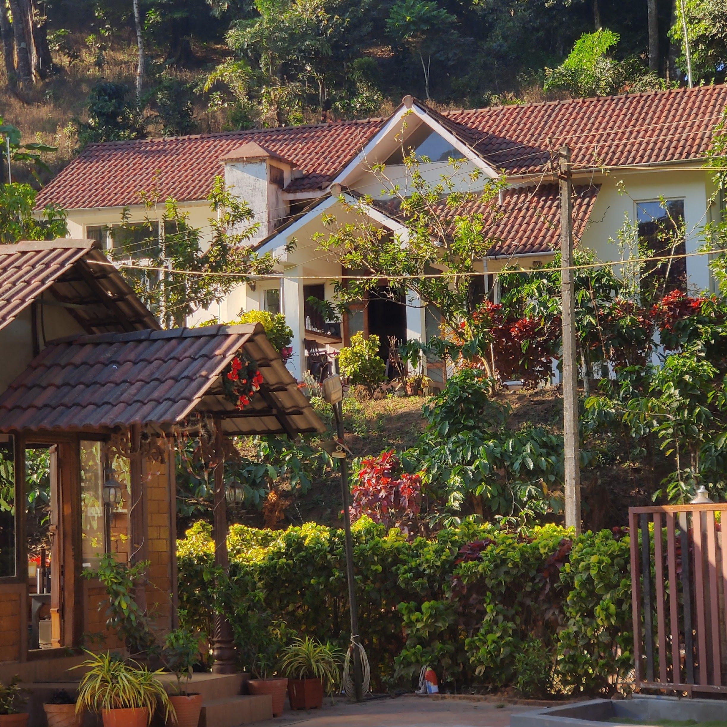
Because overnight camping directly atop the summit ridge may be restricted by local authorities, many visitors choose to stay in the surrounding valleys and plantation hamlets. The area around Kakkabe, Napoklu, and Virajpet features a welcoming selection of outdoor accommodations, rustic estates, and rural homesteads.
You can find outdoor camps, cosy homestays, and plantation retreats close to Tadiandamol Peak on HireACamp. Staying near the base allows you to wake up close to the trailhead, enjoy local Kodava cuisine, and get an early jump on your morning hike.
Frequently asked questions
How long does it take to trek Tadiandamol Peak?
The trek typically takes between four to six hours round trip depending on your fitness, pace, and how much time you spend resting at the summit.
Is camping allowed on Tadiandamol Peak?
Overnight camping on the peak is generally restricted by the forest department to protect local wildlife and fragile grasslands. Travellers usually stay at campsites and homestays around Kakkabe and complete the trek as a day hike.
Can beginners hike Tadiandamol Peak?
Yes, Tadiandamol is graded as a moderate trek that is manageable for beginners with a reasonable baseline of fitness. Wearing proper footwear and pacing yourself on the final summit push is strongly recommended.
Are there leeches on the Tadiandamol trail?
Leeches are common along the lower forested sections during the monsoon and early post-monsoon months. Wearing leech socks or applying salt can help deter them if you hike in wet weather.
Are permits required to hike Tadiandamol?
Hikers often need to register at the local forest department check-post near the base of the trail. It is best to check locally at Kakkabe on arrival for the latest access rules and timings.
Where you'll be
7 stays nearby shown with prices
Stays near Tadiandamol Peak
Book a place to stay close by
More places near Tadiandamol Peak
Within 20 km

Built from 0 Instagram posts by 0 creators. Every tip links back to the post it came from, and where creators disagree we show both sides.






