
Chhotkhaga Pass
Nature near Harsil, Himachal Pradesh
18 km from Harsil
The nearest town, for stays, food and fuel.
Chhotkhaga Pass is a remote high-altitude mountain pass set within the rugged borderlands of Himachal Pradesh and Uttarakhand in the Indian Himalayas. Towering amid glaciated peaks, scree fields, and alpine meadows, it serves as a challenging crossover point between contrasting Himalayan landscapes. Experienced trekkers and mountaineers venture here to experience raw wilderness, stark high-mountain beauty, and sweeping panoramas of the surrounding ranges.
Getting there
By road
- From Chandigarh9 hr 15 min · 391 km
- From Dehradun11 hr 20 min · 507 km
- From HarsilNearest town13 hr 10 min · 594 km
- From New Delhi13 hr 55 min · 681 km
Typical drive times without traffic. Stations and airports from OLA Maps; distances and typical drive times from OpenStreetMap (© OpenStreetMap contributors); notes from creators' Reels.
About Chhotkhaga Pass
Written with AI from map data and general knowledge. Check prices and timings locally before you go.
The rugged terrain of Chhotkhaga Pass
Chhotkhaga Pass stands high in the Great Himalayan range, positioned along the wild divide separating the Kinnaur district of Himachal Pradesh from the Garhwal region of Uttarakhand. The immediate landscape is characterized by severe alpine grandeur, where towering ridgelines, active moraines, and glacial basins dominate the topography. Approaching the pass requires traversing multiple distinct ecological zones, beginning in temperate birch and pine woodlands before ascending into barren stone fields and permanent snow pockets.
Because of its isolation and demanding geography, the area surrounding Chhotkhaga Pass has remained largely untouched by large-scale infrastructure. The environment is defined by towering granite towers, hanging glaciers, and fast-flowing snowmelt torrents carving through rocky canyons. For mountaineers and wilderness enthusiasts, the pass represents quintessential Himalayan backcountry, offering an untamed contrast to the more populated hill towns located lower down in the state.
The trekking route and wilderness experience
Reaching Chhotkhaga Pass is a multi-day expedition that demands rigorous physical endurance, alpine navigation, and careful acclimatization. The trail traverses sweeping boulder beds, steep scree gullies, and high-altitude glacial snowfields that shift in condition depending on the season and recent weather patterns. Every day on the trail brings significant elevation gain through remote valleys where human settlements quickly give way to grazing pastures used by local nomadic shepherds.
As the trail climbs toward the crest of the pass, the horizon expands to reveal spectacular vistas of formidable peaks, including the Bandarpunch massif and the jagged sub-ranges that line the Kinnaur and Garhwal boundaries. Trekkers frequently spot high-altitude wildlife adapted to this harsh environment, such as Himalayan blue sheep clinging to steep cliffs, snow partridges, and majestic birds of prey soaring on mountain thermals. Reaching the pass delivers an unforgettable vantage point over deep-cut glacial valleys spreading outward in every direction.
Read more
Best time to visit Chhotkhaga Pass
High-altitude passes in this sector of the Himalayas are accessible only during two distinct windows each year, as heavy winter snowfall keeps the terrain buried and impassable for several months. The pre-monsoon summer window typically runs from late May to the end of June. During these weeks, daytime temperatures are comparatively moderate, snow melts from lower approaches, and alpine flowers begin to carpet the high meadows, although significant snowdrifts often remain near the pass itself.
The second optimal window arrives post-monsoon, spanning from September to mid-October. This period generally brings the clearest mountain skies, crisp autumn air, and sharp panoramic visibility across the peaks. By late October, temperatures drop precipitously, water sources begin to freeze overnight, and early winter storms create severe blizzard risks that effectively close the route until the following spring.
How to reach Chhotkhaga Pass
Reaching the starting points for a trek to Chhotkhaga Pass involves a combination of road travel followed by self-supported foot travel over demanding trails. Travelers generally approach either from Himachal Pradesh through the Kinnaur region via Shimla or through the Garhwal gateways in Uttarakhand via Dehradun. Both transit corridors follow winding mountain highways along major river systems before terminating at remote valley villages.
From the designated roadheads, all forward movement to Chhotkhaga Pass is entirely on foot. There are no motorable tracks, developed facilities, or permanent shelters along the upper trail. Travelers should plan their logistics carefully, securing dependable local support, porters or pack animals, and comprehensive wilderness camping setups before departing the lower settlements.
Preparation and safety tips for your trek
Due to the extreme elevation and isolation of Chhotkhaga Pass, thorough preparation is critical for a safe journey. Trekkers should arrive in peak cardiovascular condition and build dedicated acclimatization days into their itinerary to avoid acute mountain sickness. Carrying a well-stocked wilderness medical kit, adequate hydration supplies, and water purification gear is essential throughout the approach.
Weather conditions in the high Himalayas can change abruptly within a few hours. Sunny mornings can quickly turn into freezing rain, sleet, or heavy snowfall even during peak summer months. Trekkers must pack high-performance layered clothing, windproof and waterproof outer shells, insulated mountaineering boots, and suitable traction equipment such as microspikes or crampons for icy sections. Navigational tools, physical topographical maps, and guidance from experienced local mountain leads are indispensable.
Wild landscapes and regions nearby
The broader area surrounding Chhotkhaga Pass encompasses some of the most celebrated wilderness zones in northern India. To the south and east lie the protected preserves of Govind Pashu Vihar National Park and Gangotri National Park, known for dense conifer forests, pristine glacial lakes like Ruinsara Tal, and historic pilgrimage routes leading to holy Himalayan shrines. These adjacent valleys share the same rugged mountain ecology and offer deep insight into the natural heritage of the Western Himalayas.
To the north and west, the Baspa and Kinnaur valleys present traditional apple orchards, dramatic wooden temple architecture, and views toward the sacred Kinnaur Kailash range. Exploring the fringe valleys provides a fascinating contrast between rich Himalayan village traditions and the severe, uninhabited wilderness that surrounds the high passes.
Where to stay near Chhotkhaga Pass
While traversing the route toward Chhotkhaga Pass, accommodation is strictly expedition-style camping. Trekkers must pitch four-season tents on designated, flat glacial campsites or high meadows and practice strict Leave No Trace principles to preserve the fragile high-altitude ecology.
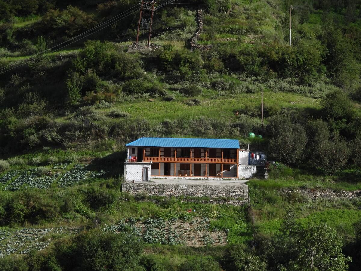
Before embarking on the trek or after returning from the mountains, travelers stay in the traditional villages and staging towns located lower in the valleys. A range of scenic campsites, rustic homestays, and locally run guesthouses can be found on HireACamp, offering comfortable bases to rest, acclimatize, and organize equipment before entering the high-mountain wilderness.
Frequently asked questions
Where is Chhotkhaga Pass located?
Chhotkhaga Pass is situated in the high-altitude Great Himalayan range along the border zone connecting the Kinnaur district of Himachal Pradesh with the Garhwal region of Uttarakhand.
How difficult is the trek to Chhotkhaga Pass?
The trek is rated as challenging and is suited for experienced alpine trekkers with prior high-altitude experience. It requires navigating steep scree, moraine fields, snow crossings, and significant elevation gains in remote conditions.
When is the best season to cross Chhotkhaga Pass?
The most favorable times to undertake the trek are during early summer from late May to June and in the post-monsoon autumn season from September to mid-October, when weather is relatively stable.
Do I need permits to visit Chhotkhaga Pass?
Because the pass lies in a sensitive border region and crosses protected forest tracts, specific inner line and forest permits are typically required. Travelers should verify and secure current clearance through local authorities before starting.
What accommodation options exist along the route?
There are no built guesthouses or mountain huts along the route to Chhotkhaga Pass, so trekkers must camp in tents. Base villages at the trailheads offer homestays and riverside campsites that can be booked via HireACamp.
Where you'll be
Himachal Pradesh · 1 stay nearby shown with prices
Stays near Chhotkhaga Pass
Book a place to stay close by
More places near Chhotkhaga Pass
Within 20 km

Built from 0 Instagram posts by 0 creators. Every tip links back to the post it came from, and where creators disagree we show both sides.






