
Talang Jot
Peak near Barot Valley, Himachal Pradesh
2.6 km from Barot Valley
The nearest town, for stays, food and fuel.
Talang Jot is a formidable high-altitude pass and ridge peak situated on the main crest of the Dhauladhar mountain range in Himachal Pradesh, overlooking the expansive Kangra Valley. Rising high above the tea gardens and pine forests of the Palampur region, it serves as a traditional crossing point between Kangra and the remote Ravi basin of Chamba. Experienced trekkers and adventurers make the demanding ascent to experience its raw alpine terrain, sweeping panoramic ridgelines, and unblemished mountain solitude.
Getting there
By road
- From Ludhiana4 hr 55 min · 216 km
- From Amritsar5 hr 5 min · 227 km
- From Chandigarh5 hr 55 min · 251 km
- From Dehradun9 hr 20 min · 439 km
Typical drive times without traffic. Stations and airports from OLA Maps; distances and typical drive times from OpenStreetMap (© OpenStreetMap contributors); notes from creators' Reels.
About Talang Jot
Written with AI from map data and general knowledge. Check prices and timings locally before you go.
About Talang Jot and the Dhauladhar Crest
Talang Jot stands as one of the dramatic high-elevation points of the Dhauladhar mountain range, a barrier of granite and shale that rises sharply above the Kangra Valley. In the local dialect of Himachal Pradesh, the term jot refers to a high mountain pass or an elevated ridge crossing. For generations, these passes have been traversed by migratory Gaddi shepherds moving their flocks of sheep and goats between the lush winter pastures of the Kangra plains and the high summer grazing meadows of Chamba and Lahaul.
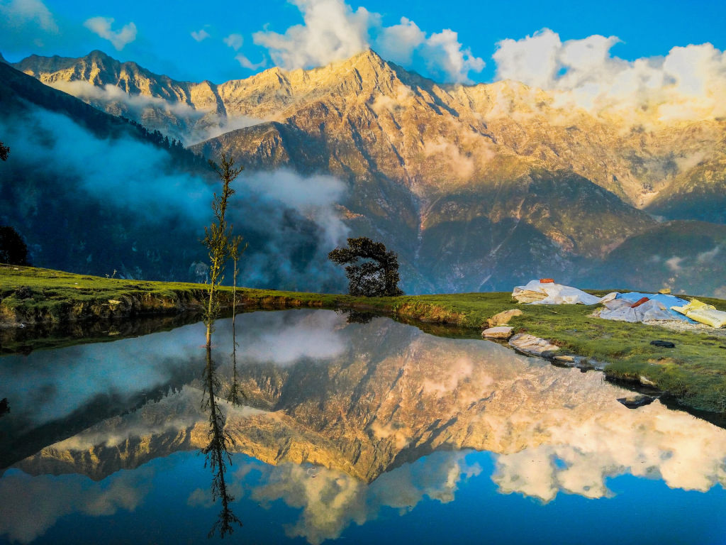
The landscape here is distinctly severe and majestic. While the lower slopes facing Palampur are cushioned with terrace farming, pine woodlands, and mountain streams, the higher gradients quickly transform into vertical rock faces, steep grassy bluffs known locally as thaches, and scree fields. Reaching the crest of Talang Jot rewards mountaineers with a stark contrast: to the south lie the rolling foothills, valleys, and rivers of Kangra, while to the north extend the jagged, snow-capped ranges of the inner Pir Panjal and Greater Himalayas.
The Trek to Talang Jot
Reaching Talang Jot requires a serious wilderness trek that should only be undertaken with adequate preparation, navigation skills, and physical endurance. The trail begins in the foothills around the Palampur and Chamunda region, gradually ascending through oak, rhododendron, and deodar forests before breaking through the tree line into open alpine terrain.
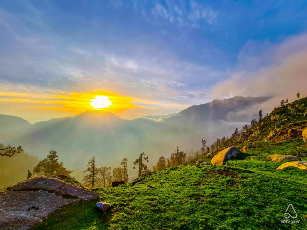
As you gain elevation, the trail becomes narrower, rougher, and far less distinct. Hikers navigate steep ridgelines, boulder fields, and talus slopes where footing must be deliberate. Because the Dhauladhar range rises abruptly from the low plains without intervening foothill barriers, the elevation gain over relatively short horizontal distances is exceptionally steep. Trekkers encounter changing microclimates along the way, passing through misty sub-alpine valleys, temporary shepherd encampments, and wind-scoured ridges before arriving at the pass itself.
The summit ridge provides commanding views of neighboring massifs and distant glaciated peaks. The sense of isolation is absolute, characterized by howling winds, crisp mountain air, and broad expanses of shale and lingering snow.
Read more
Best Time to Visit Talang Jot
The window for venturing toward Talang Jot is dictated strictly by the high-altitude weather patterns of the western Himalayas. The primary trekking seasons fall into two distinct periods: the pre-monsoon summer from late May to June, and the post-monsoon autumn from September through October.
During late spring and early summer, snow begins to melt on the approaches, though significant hard-packed snow and icy gullies often persist on the high slopes and near the pass. Days during this period are relatively long and daytime temperatures at mid-elevations are pleasant, though freezing temperatures are common higher up overnight.
The monsoon months of July and August bring heavy, torrential rainfall to the front of the Dhauladhar range. Dense clouds blanket the ridges, trails turn slick with mud, and the risk of rockfalls, landslides, and flash floods makes the route dangerous. Once the rains recede in September, the autumn window offers the clearest skies and most stable weather of the year. Visibility is exceptional, revealing razor-sharp views of the surrounding peaks, though temperatures drop rapidly toward freezing as October progresses. Winter brings heavy snowfall, closing the pass entirely to all but technical winter expeditions.
Tips for Planning Your High-Altitude Hike
Given the rugged and remote nature of Talang Jot, self-sufficiency and proper planning are mandatory. The Dhauladhar mountains are notorious for rapid, unpredictable changes in weather; clear morning skies can turn into dense fog, rain, or sudden squalls within an hour. Carrying dependable waterproof gear, thermal base layers, and windproof outer shells is vital regardless of the season.
Acclimatization is another critical factor. Because the ascent out of the Kangra Valley is rapid, trekkers must pace their altitude gain steadily to prevent acute mountain sickness. Spending a day or two in the mid-hills around Palampur or Dharamshala before embarking on the trail helps your body adapt to the elevation.
Trail markers are minimal or nonexistent along the higher sections, where faint paths often split into goat tracks on the scree slopes. It is strongly advised to hike with experienced local guides who understand the ridgeline topography and water sources. Carry emergency shelter, high-calorie food, a basic first aid kit, water filtration supplies, and offline navigation equipment, as cellular connectivity is lost soon after leaving the lower settlements.
Places to Explore Around Palampur and Kangra
A journey to Talang Jot is easily combined with exploring the cultural and natural attractions of the Kangra Valley below. On the lower ridgelines lies the historic Aadi Himani Chamunda Temple, perched high on an open crest that offers a rewarding day-hike destination with panoramic views of the plains.
Down in the valley, the town of Palampur is famous for its emerald tea gardens, colonial-era architecture, and tranquil walking trails along streams like the Neugal Khad. Nearby, the Dhauladhar Nature Park provides a pleasant walk through protected forested enclosures showcasing native Himalayan wildlife.
Further west along the base of the mountains, travelers can explore the ancient rock-cut architecture of Kangra Fort, the bustling markets and spiritual centers of McLeod Ganj, and sacred regional shrines such as Chamunda Devi Temple and Aghanjar Mahadev Temple. These lower destinations make for an excellent base to explore before or after tackling the rugged high passes.
How to Reach the Region
To access the trailheads leading toward Talang Jot, travelers must first reach the Kangra Valley, with Palampur serving as the primary urban hub for logistics and route planning.
By air, the nearest airport is Kangra Airport at Gaggal, which connects with domestic flights from major cities like Delhi. From the airport, taxis and local buses travel eastward across the valley floor to Palampur. By rail, the nearest broad-gauge railway hub is Pathankot in Punjab, from where the scenic Kangra Valley toy train or regular road transport operates up into the hills.
By road, well-maintained national and state highways link Palampur with Chandigarh, Delhi, and other parts of northern India. Once in the Palampur or Chamunda vicinity, local transport can drop hikers at rural access villages where the footpaths into the mountains commence.
Where to Stay for a Talang Jot Expedition
For high-altitude reaches along the Talang Jot route, accommodation consists entirely of wilderness camping. Trekkers must bring four-season alpine tents, warm sleeping bags rated for sub-zero conditions, and self-contained cooking gear. Respecting the fragile alpine ecosystem by practicing strict Leave No Trace principles is essential to keep these pristine grazing grounds undamaged.
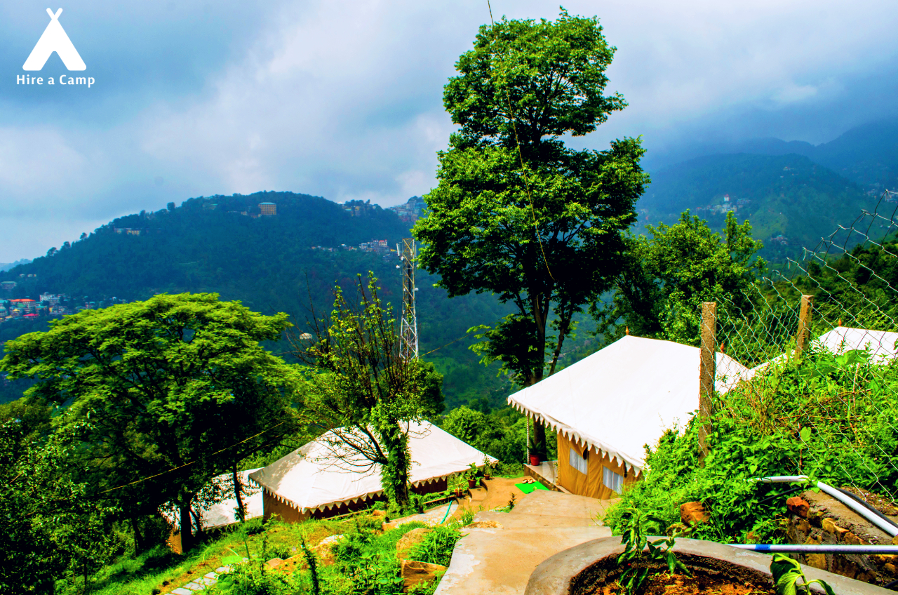
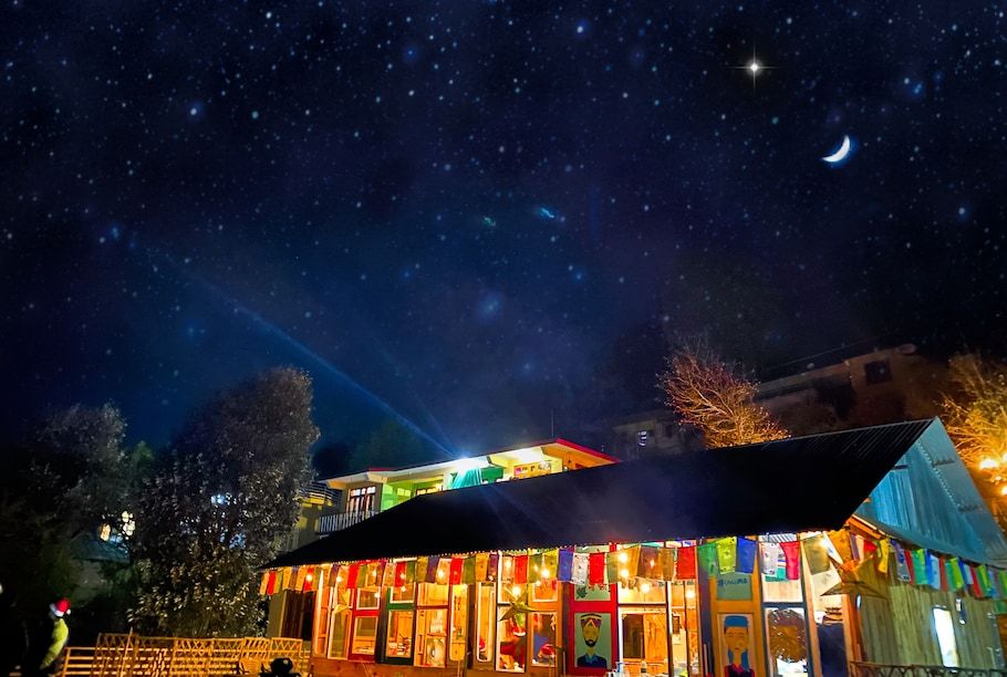
For comfortable lodging before and after your trek, the surrounding valley towns provide welcoming bases. You can find independent homestays, riverside camps, and nature retreats in and around Palampur and the wider Kangra Valley listed on HireACamp. Staying in the foothills gives you easy access to trail supplies, local knowledge, and rest among verdant pine groves.
Frequently asked questions
Where is Talang Jot located?
Talang Jot is a high mountain pass situated along the main crest of the Dhauladhar range in Himachal Pradesh, positioned north of Palampur and overlooking the Kangra Valley.
How difficult is the trek to Talang Jot?
The trek to Talang Jot is demanding and suitable primarily for experienced hikers with strong stamina. The trail features steep altitude gains, rugged boulder paths, scree, and unpredictable mountain weather.
What is the best season to attempt the Talang Jot crossing?
The best months are May to June before the heavy summer rains, and September to October when the monsoon recedes and skies remain clear.
Do I need a guide for Talang Jot?
Hiring a knowledgeable local guide is strongly recommended because the trail over the upper Dhauladhar is rugged, largely unmarked, and prone to rapid shifts in weather and visibility.
Where can I find accommodation near Talang Jot?
On the mountain trail, accommodation is limited to self-supported wilderness camping. In the valley below, you can discover riverside camps, homestays, and regional retreats on HireACamp.
Where you'll be
Himachal Pradesh · 4 stays nearby shown with prices
Stays near Talang Jot
Book a place to stay close by
More places near Talang Jot
Within 20 km


Built from 0 Instagram posts by 0 creators. Every tip links back to the post it came from, and where creators disagree we show both sides.






