
Gaumukh Tapovan Trek
Trek near Uttarkashi, Uttarakhand
100 m from Uttarkashi
The nearest town, for stays, food and fuel.
The Gaumukh Tapovan Trek is one of the most storied high-altitude routes in the Garhwal Himalayas, leading travellers to the glacial source of the Bhagirathi River in Uttarakhand. Starting beyond the temple town of Gangotri in Uttarkashi district, the trail traverses glacial moraines, pine and birch woods, and barren river valleys to reach the alpine meadow of Tapovan. Hikers and pilgrims undertake this journey to witness dramatic views of Mount Shivling and the Bhagirathi peaks rising directly above the Gangotri Glacier.
Getting there
By road
- From Dehradun3 hr 25 min · 137 km
- From Chandigarh6 hr 40 min · 327 km
- From New Delhi7 hr · 367 km
- From Ludhiana9 hr 5 min · 440 km
Typical drive times without traffic. Stations and airports from OLA Maps; distances and typical drive times from OpenStreetMap (© OpenStreetMap contributors); notes from creators' Reels.
About Gaumukh Tapovan Trek
Written with AI from map data and general knowledge. Check prices and timings locally before you go.
About the Gaumukh Tapovan Trek
The Gaumukh Tapovan Trek is a classic Himalayan journey located within the boundaries of Gangotri National Park in the Uttarkashi district of Uttarakhand. The trail traces the path of the Bhagirathi River, one of the primary headstreams of the holy Ganga, all the way to its origin at the snout of the Gangotri Glacier, known historically as Gaumukh. Beyond Gaumukh lies Tapovan, an expanse of high-altitude alpine meadow that sits at the foot of Mount Shivling, offering panoramic views of several of the region's most prominent granite peaks.
The landscape transitions dramatically over the course of the trek. It begins along deep river gorges flanked by dense forests of pine and silver birch before opening out into vast gravel flats and tumbling glacial scree. Tapovan itself is an undulating highland plain carpeted with wild herbs and crossed by icy trickles of meltwater, sitting directly under the sheer vertical walls of Shivling, Meru, and the Bhagirathi massif. Long revered by spiritual seekers who spent months in secluded contemplation, the meadow today draws both mountaineers and trekking enthusiasts from across the world.
The Trail and Terrain
The journey begins from Gangotri, where a well-defined footpath enters the national park and follows the true right bank of the Bhagirathi River. The initial leg winds steadily upwards through forests of blue pine, deodar, and birch, reaching the peaceful river clearing of Chirbasa. Beyond Chirbasa, the tree line recedes, and the valley opens into a wind-scoured expanse of boulder fields and landslide-prone mountain flanks leading to Bhojbasa, the primary intermediate campsite along the lower trail.
From Bhojbasa, the path heads directly toward Gaumukh, where the Bhagirathi River emerges with immense force from under the melting snout of the Gangotri Glacier. The terrain around the snout is dynamic and constantly reshaped by falling ice, rocks, and glacial flow. Crossing from Gaumukh toward Tapovan is the most demanding portion of the route, requiring trekkers to navigate loose boulders and moraine ridges over the glacier surface before mounting a steep, relentless ascent up a gravelly slope that leads onto the gentle grassy expanses of the Tapovan meadow.
Read more
Best Time to Trek
The trekking season for Gaumukh and Tapovan is divided into two distinct windows: pre-monsoon and post-monsoon. The pre-monsoon window spans from May to June, shortly after the Gangotri temple opens and winter snows begin to clear from the lower valleys. During these months, the trail is lively, the days are pleasantly warm under clear skies, and snow patches often linger across the higher meadows, creating striking contrasts against the barren rock faces.
The second favorable window occurs in the autumn months of September and October. After the monsoon rains subside, the atmosphere turns crisp and extraordinarily clear, offering the sharpest views of the surrounding peaks. Daytime temperatures are cool, though night temperatures at Tapovan routinely drop well below freezing by October. Trekking during the peak monsoon months of July and August is hazardous due to rampant landslides and swollen streams along the valley road, while winter brings severe snowfall that leaves the route inaccessible.
How to Reach the Trailhead
The journey to the Gaumukh Tapovan Trek begins by travelling to Uttarkashi, the main administrative town and transit hub in the region. Uttarkashi is connected by mountain highways to Rishikesh, Haridwar, and Dehradun, which serve as the primary rail and air gateways to Uttarakhand. Travellers typically take local buses, shared taxis, or private transport from these lower towns to reach Uttarkashi before proceeding upstream.
From Uttarkashi, the route continues northward along the Bhagirathi River on the Gangotri Highway, passing settlements like Bhatwari, Gangnani, and Harsil before terminating at Gangotri. Gangotri serves as the roadhead and the official starting point for the trek into Gangotri National Park. It is customary to spend a night in Gangotri or the nearby valley villages to allow the body to begin adjusting to the altitude before setting foot on the trail.
Mountain Safety and Preparation
Because the trail climbs from moderate mountain elevations up to the thin air of Tapovan, proper acclimatization is critical to avoiding acute mountain sickness. Trekkers should pace their daily ascents gradually, take rest days when needed, and maintain consistent hydration throughout the day. Sturdy, broken-in trekking boots with good ankle support are essential for the uneven moraine and slippery scree slopes found beyond Bhojbasa.
Weather conditions at high altitudes can change rapidly without warning. Even during summer, sudden cloud cover can bring icy winds, rainfall, or unseasonal flurries of sleet and snow. Travellers should pack versatile layers, including thermal base layers, a fleece, a windproof and waterproof outer shell, warm gloves, and a woollen cap. Carrying a basic first-aid kit, water purification tablets, and trekking poles will greatly improve comfort and stability on steep ascents and descents.
Where to Stay
Accommodation choices depend on your position along the journey. In Uttarkashi and Gangotri, you will find traditional guesthouses, pilgrim rest houses, and family-run homestays suited for resting before and after your trek. These lower settlements provide an excellent opportunity to experience local Garhwali hospitality and acclimatize in comfort.
On the trekking trail itself, designated camping zones such as Bhojbasa and Tapovan require staying in established wilderness camps or pitched tents. Because spaces are limited and environmental regulations apply within Gangotri National Park, booking your arrangements in advance is recommended. A curated selection of comfortable homestays, nature retreats, and verified campsites throughout the Uttarkashi region can be explored and booked on HireACamp.
Frequently asked questions
How difficult is the Gaumukh Tapovan Trek?
The trek is classified as moderate to difficult due to high altitude, long walking days, and tricky terrain. Crossing the Gangotri Glacier and the steep climb through loose scree up to Tapovan demand solid endurance and good balance.
Do I need permits to visit Gaumukh and Tapovan?
Yes, permits are required because the trail enters Gangotri National Park, which limits the number of visitors allowed per day. Permits and entry formalities should be verified and arranged locally through the forest department authorities in Uttarkashi or Gangotri.
What mountain peaks can be seen from Tapovan?
Tapovan offers up-close views of Mount Shivling, which towers directly over the meadow. Hikers can also see the Bhagirathi I, II, and III peaks, Meru, and other surrounding summits of the Garhwal range.
Can beginners attempt the Gaumukh Tapovan Trek?
While fit beginners with prior hiking experience and strong stamina can complete the trek, it is best suited for individuals with some prior high-altitude trekking experience due to the steep glacial terrain and the risk of mountain sickness.
Where you'll be
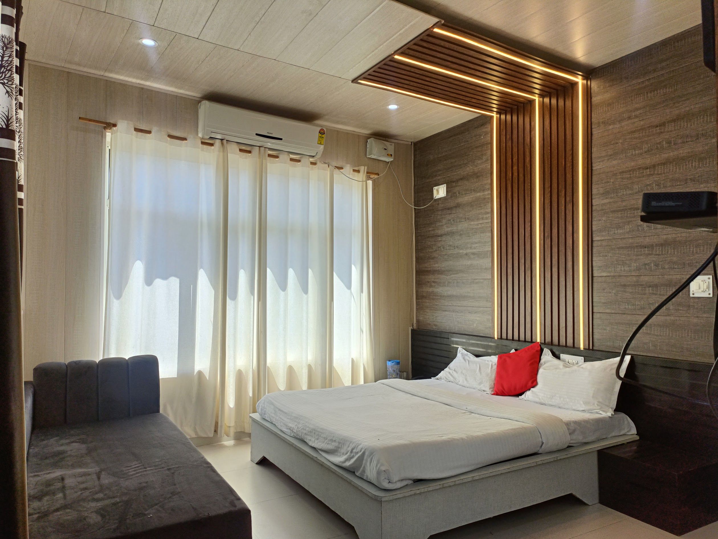
near canara bank atm Call us. 9411396078. Or 9458130985 gangotri highway, Uttarkashi · 1 stay nearby shown with prices
Stays near Gaumukh Tapovan Trek
Book a place to stay close by
More places near Gaumukh Tapovan Trek
Within 20 km


Built from 0 Instagram posts by 0 creators. Every tip links back to the post it came from, and where creators disagree we show both sides.






