
Kalindi khal pass Trek
Trek near Uttarkashi, Uttarakhand
400 m from Uttarkashi
The nearest town, for stays, food and fuel.
The Kalindi Khal Pass Trek is an arduous high-altitude crossover expedition set deep in the Garhwal Himalayas of Uttarakhand. Connecting the holy river valleys of Gangotri and Badrinath, the trail ascends past massive glaciers, crevasses, and frozen lakes beneath towering Himalayan giants. Seasoned mountaineers and endurance trekkers seek out this traverse for its unrelenting wilderness, technical challenge, and unmatched alpine panoramas.
Getting there
By road
- From UttarkashiNearest town1 min · 400 m
- From Dehradun3 hr 25 min · 138 km
- From Chandigarh6 hr 40 min · 328 km
- From New Delhi7 hr · 367 km
Typical drive times without traffic. Stations and airports from OLA Maps; distances and typical drive times from OpenStreetMap (© OpenStreetMap contributors); notes from creators' Reels.
About Kalindi khal pass Trek
Written with AI from map data and general knowledge. Check prices and timings locally before you go.
The Route and Glacial Landscape
The Kalindi Khal Pass Trek is widely regarded as one of the most demanding trekking expeditions in the Indian Himalayas. Spanning the distance between Gangotri in the Bhagirathi valley and Badrinath in the Alaknanda valley, this route reaches an altitude close to six thousand meters above sea level. It is not an ordinary walking track but a serious alpine crossing that navigates extensive fields of shifting moraine, crevassed glaciers, sharp ridges, and deep snow.
The expedition traces a remote geography defined by legendary ice sheets. Trekkers leave behind the forested stretches of the lower valleys and advance through the Gangotri glacier system, skirting the Raktvan, Chaturangi, and Sweta glaciers before making the final push over the col. The stark terrain shifts daily from unstable scree and glacial debris to vast expanses of pristine ice. Because there are no permanent settlements or shepherd trails through this interior corridor, the route offers a rare look at the untamed, raw core of the Garhwal range.
Mountain Vistas along Kalindi Khal
One of the key draws of navigating Kalindi Khal is the intimate perspective it provides on some of India's most celebrated peaks. Unlike trails that merely view major summits from a comfortable distance, this traverse takes you right into their amphitheaters. The dramatic spire of Shivling and the rugged ramparts of the Bhagirathi massifs dominate the early stages of the ascent, standing like sentinels over the Gangotri glacier.
As the trail winds higher toward camps such as Nandanvan, Vasuki Tal, and Khara Pathar, the views expand to include Meru, Chandra Parbat, Nilkantha, and Satopanth. The high-altitude lake of Vasuki Tal sits cupped amidst stark ridgelines, reflecting sharp granite faces and lingering snowfields. Standing atop the pass itself reveals a sweeping panorama across the two major river catchments, where jagged ridgelines stretch uninterrupted toward the Tibetan border.
Read more
Trek Difficulty and Physical Demands
The Kalindi Khal Pass Trek is classified as an extreme high-altitude expedition that requires high physical stamina, psychological grit, and prior mountaineering proficiency. A substantial portion of the journey is conducted above five thousand meters, meaning the air is thin and the risk of altitude sickness is severe. Trekkers face steep ascents on ice walls, treacherous boulder fields, and dangerous moraine ridges that can shift underfoot.
Technical mountaineering equipment, including crampons, ice axes, harnesses, and fixed ropes, is required to safely negotiate the crevassed terrain and steep gradients near the pass. Anyone planning this expedition must possess prior experience on multiple high-altitude treks, familiarity with glacier travel, and a disciplined approach to acclimatization. Long daily marches carrying daypacks in sub-zero conditions make exceptional cardiovascular fitness and muscular endurance essential.
Best Time to Attempt Kalindi Khal Pass
The weather window for crossing Kalindi Khal is narrow and requires careful timing. The expedition can typically only be undertaken during two brief periods of the year: the pre-monsoon summer window in late June and early July, and the post-monsoon autumn season in September and early October.
During late June and early July, melting snow uncovers crevasses, requiring expert route-finding, but daylight hours are longer and daytime temperatures are comparatively moderate. In September and early October, the monsoon clouds clear completely, leaving behind crisp blue skies, sharp visibility, and firm snow conditions, although temperatures drop significantly, especially at the high camps. Winter brings immense snow accumulations that render the pass impassable, while the peak monsoon weeks of late July and August make the lower approaches prone to landslides and cloudbursts.
How to Reach the Trek Base
Uttarkashi serves as the primary administrative and logistical hub for journeys heading toward Gangotri. Trekkers traveling from outside Uttarakhand usually arrive first at Dehradun or Rishikesh, both of which are linked to major Indian cities by road and rail networks. Dehradun also hosts the nearest airport with regular commercial flights.
From Dehradun or Rishikesh, the mountain highway winds along the Bhagirathi River up to Uttarkashi. Beyond Uttarkashi, the road continues deeper into the mountains through Harsil, eventually ending at the sacred town of Gangotri. Gangotri marks the start of the walking trail and provides the final opportunity to organize supplies, finalize porters or guides, and complete mandatory forest permits and paperwork with local authorities.
What to Pack for an Alpine Crossing
Packing for Kalindi Khal requires careful attention to both warmth and specialized gear. Temperatures on the upper glaciers regularly plummet well below freezing, even during the summer months. Trekkers need a comprehensive layering system comprising moisture-wicking base layers, heavy-duty fleece mid-layers, down jackets rated for extreme sub-zero weather, and waterproof windbreakers.
Sturdy mountaineering boots compatible with crampons are indispensable, as are gaiters to prevent deep snow from entering the footwear. Trekkers must also carry glacier glasses with adequate side protection to shield against snow blindness, insulated mittens, warm headwear, and a high-grade sleeping bag suitable for minus twenty degrees Celsius. A comprehensive mountain first-aid kit stocked with altitude sickness medications, blister treatment supplies, and hydration salts is equally critical.
Where to Stay around Kalindi Khal
During the actual crossing between Gangotri and Badrinath, accommodation consists exclusively of wilderness camping. Trekkers, guides, and support crews pitch expedition tents on designated moraine terraces, riverbeds, and glacial snowfields. There are no shelters, teahouses, or permanent rest points along this remote trail, requiring all camping logistics, food supplies, and fuel to be carried throughout the route.
Before launching into the expedition and after finishing on the Badrinath side, comfortable base accommodation is necessary for rest and acclimatization. The towns of Uttarkashi, Harsil, and Gangotri offer welcoming guesthouses and riverside campsites where you can prepare gear and adjust to the altitude. You can find well-situated homestays, rural retreats, and nature camps in Uttarkashi and nearby scenic valleys on HireACamp to anchor your high-altitude Himalayan adventure.
Frequently asked questions
How high is the Kalindi Khal Pass?
Kalindi Khal Pass sits at an approximate elevation of 5,950 meters (around 19,500 feet), placing it among the highest cross-glacier trekking passes in Uttarakhand.
Can beginners attempt the Kalindi Khal Pass Trek?
No, this trek is not suitable for beginners. It demands advanced physical endurance, prior experience on high-altitude crossings, and basic knowledge of technical mountaineering equipment like crampons and ropes.
Where does the trek begin and end?
The expedition typically starts from the pilgrim town of Gangotri in Uttarkashi district and concludes near Badrinath or Mana village in Chamoli district.
What is the best time of year to cross Kalindi Khal?
The pass is usually crossed during two short windows: late June to early July, and from September through early October, avoiding the deep winter snow and peak monsoon rains.
Are permits required for the Kalindi Khal Trek?
Yes, because the route passes through protected national park areas near international borders, specialized wilderness and inner-line permits must be verified locally in Uttarkashi before starting.
Where you'll be
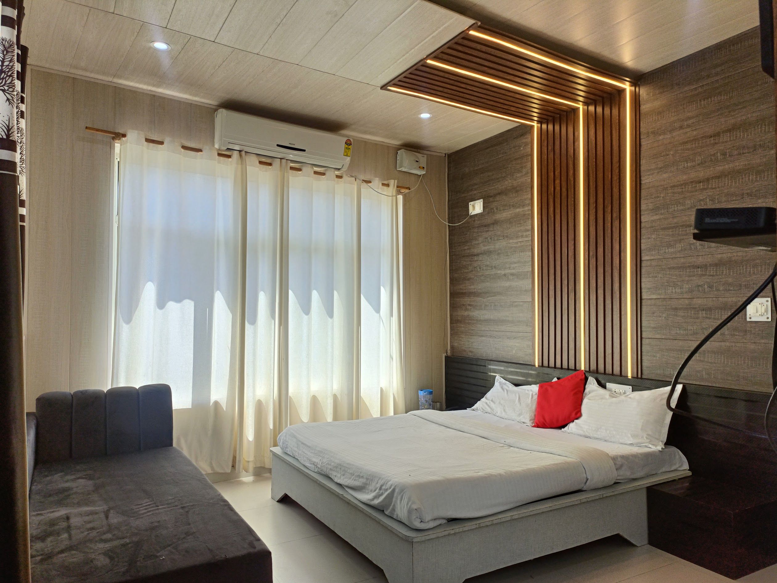
C/o Hotel Himalayan Inn, Main, Uttarkashi - Gangotri Rd, Uttarkashi · 1 stay nearby shown with prices
Stays near Kalindi khal pass Trek
Book a place to stay close by
More places near Kalindi khal pass Trek
Within 20 km


Built from 0 Instagram posts by 0 creators. Every tip links back to the post it came from, and where creators disagree we show both sides.






