
Hamta Pass
Peak near Pulga, Himachal Pradesh
3.7 km from Pulga
The nearest town, for stays, food and fuel.
Hamta Pass is a dramatic mountain pass in the Pir Panjal range of Himachal Pradesh, renowned for bridging two contrasting Himalayan landscapes. The crossing leads travellers from the pine forests and lush alpine meadows of the Kullu region into the rugged, arid mountain desert of Lahaul. Trekkers and nature enthusiasts head here to experience high-altitude wilderness, glacial river crossings, and panoramic views of snow-draped peaks.
Getting there
By road
- From PulgaNearest town5 min · 1.5 km
- From Chandigarh6 hr 15 min · 266 km
- From Ludhiana6 hr 40 min · 296 km
- From Amritsar8 hr 45 min · 407 km
Typical drive times without traffic. Stations and airports from OLA Maps; distances and typical drive times from OpenStreetMap (© OpenStreetMap contributors); notes from creators' Reels.
About Hamta Pass
Written with AI from map data and general knowledge. Check prices and timings locally before you go.
Understanding Hamta Pass and its landscape
Hamta Pass sits perched at an elevation exceeding 4,200 metres in the Pir Panjal range of Himachal Pradesh. Historically, the pass served as a traditional trade and migration route between the Kullu Valley and the higher, more barren valley of Chandra in Lahaul. Even today, local shepherds and Gaddi tribes navigate these high pastures during the summer months with their flocks.
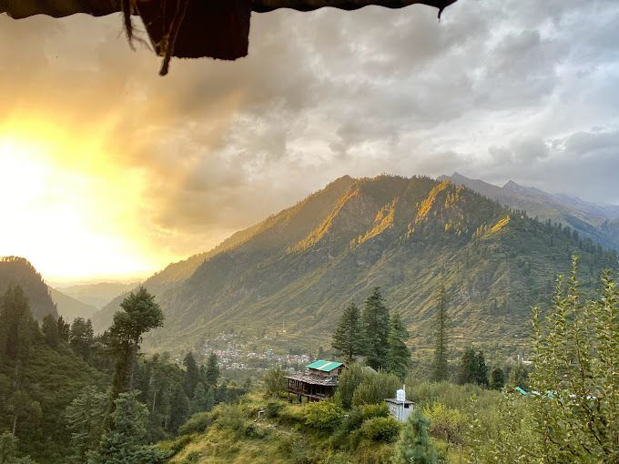
What makes the pass geographically striking is the abrupt transition in scenery. On the lower southern flanks, the landscape is defined by dense stands of deodar, pine, and birch trees, cut through by clear glacial brooks and carpeted in vibrant wildflower meadows. As one climbs closer to the saddle, the greenery thins out into boulder fields, scree, and permanent snow patches. Crossing the ridge reveals a barren, moon-like expanse dominated by sheer vertical rock faces and icy crests characteristic of the Spiti and Lahaul rain-shadow regions.
The trekking experience on Hamta Pass
The ascent towards Hamta Pass offers an immersive high-mountain trek that attracts beginners and experienced hikers alike. The journey begins along sheltered river valleys where trails weave past waterfalls and over makeshift wooden bridges. As elevation increases, hikers navigate expansive grassy plains, crossing cold mountain streams where the meltwater flows rapidly during warmer daylight hours.
The final push to the crest involves crossing steep moraine and snow ridges, demanding steady footwork and stamina. Standing at the pass provides sweeping vantage points over the surrounding summits, including the towering Indrasan and Deo Tibba massifs. The descent on the northern side presents an entirely altered terrain, leading down through scree and moraine into wide, boulder-strewn riverbeds surrounded by arid peaks.
Read more
Best time to visit Hamta Pass
The trekking season for Hamta Pass is concentrated between mid-June and mid-October, as heavy snow keeps the pass inaccessible through the winter and spring months. In June and early July, substantial snow fields still linger on the higher ridges, creating classic snow-trekking conditions. The lower valleys are bursting with early summer blooms, though temperatures drop sharply after sundown.
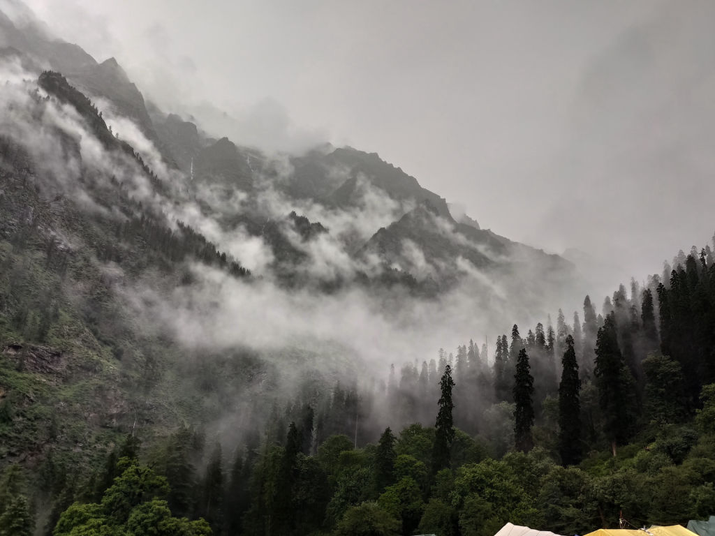
From late July through August, the monsoon influences the lower valleys, bringing occasional showers and low cloud cover. While rain makes rocky sections slippery, it also transforms the meadows into lush green tapestries filled with alpine flora. By September and early October, the monsoon recedes, giving way to crisp, clear skies and excellent mountain visibility. Autumn brings sharp morning frost and sub-zero night temperatures, making warm layering indispensable before winter storms seal the high passes.
Preparation and packing tips
Navigating a high-altitude pass requires thoughtful preparation and respect for mountain weather. Altitude sickness can affect anyone regardless of fitness, so maintaining a steady pace, staying properly hydrated, and planning acclimatisation breaks are critical safety practices. Weather conditions in the Pir Panjal range can change within hours, shifting from warm sunshine to sleet, rain, or sudden snowfall.
A sturdy pair of waterproof trekking shoes with deep lugged soles is the most critical gear item, as the trail encompasses loose rock, wet mud, and hard-packed snow. Dress in modular layers, including thermal innerwear, a fleece mid-layer, and a reliable wind- and waterproof outer shell. Other essentials include a UV-protective pair of sunglasses to prevent snow blindness, trekking poles to ease strain on descents, a high-SPF sunscreen, and a personal first-aid kit containing blister treatments and medication for altitude symptoms.
Places to explore nearby
The broader region encompassing the Kullu and Parvati valleys offers numerous historic villages and wilderness areas to explore. Just across the mountain divides lie traditional settlements like Pulga and Tosh, known for their wooden architectural heritage, terraced apple orchards, and sweeping views of the Parvati basin. The walking route to Kheerganga is another well-known trail in the vicinity, leading travellers through dense cedar forests to natural thermal pools.
Down valley lies Gurudwara Manikaran Sahib, a revered pilgrimage site famed for its bubbling hot sulfur springs along the Parvati River. To the south, nature lovers can venture towards the Great Himalayan National Park, a UNESCO World Heritage site known for its undisturbed temperate forests and elusive alpine wildlife. Further afield, the serene meadows of the Shangarh valley and the ancient pagoda-style Shangchul Mahadev Temple offer peaceful halts amidst quiet Himalayan cedar groves.
How to reach Hamta Pass
The starting points for journeys across Hamta Pass are typically reached via the Kullu and Manali region in Himachal Pradesh. The nearest domestic airstrip is Bhuntar Airport near Kullu, which operates limited flights connecting to Delhi and Chandigarh. From the airport, local buses, shared vehicles, and private taxis run north along the Beas River to access trailheads.
Travellers arriving by road can take overnight buses or private vehicles from major transit hubs such as New Delhi and Chandigarh along National Highway 21. The road journey winds through Mandi and the Kullu Valley, offering dramatic views of river gorges. Rail travellers can take trains up to Chandigarh or the broad-gauge terminal at Ambala, continuing onward by road. Local transport and mountain jeeps provide access from base towns to the remote road-heads where trekking routes commence.
Where to stay near Hamta Pass
Accommodation options vary depending on the stage of your journey. While traversing the pass itself, accommodation is limited exclusively to wilderness tent camping in designated camping clearings along the trail, where visitors must practice strict leave-no-trace ethics to protect fragile alpine environments.
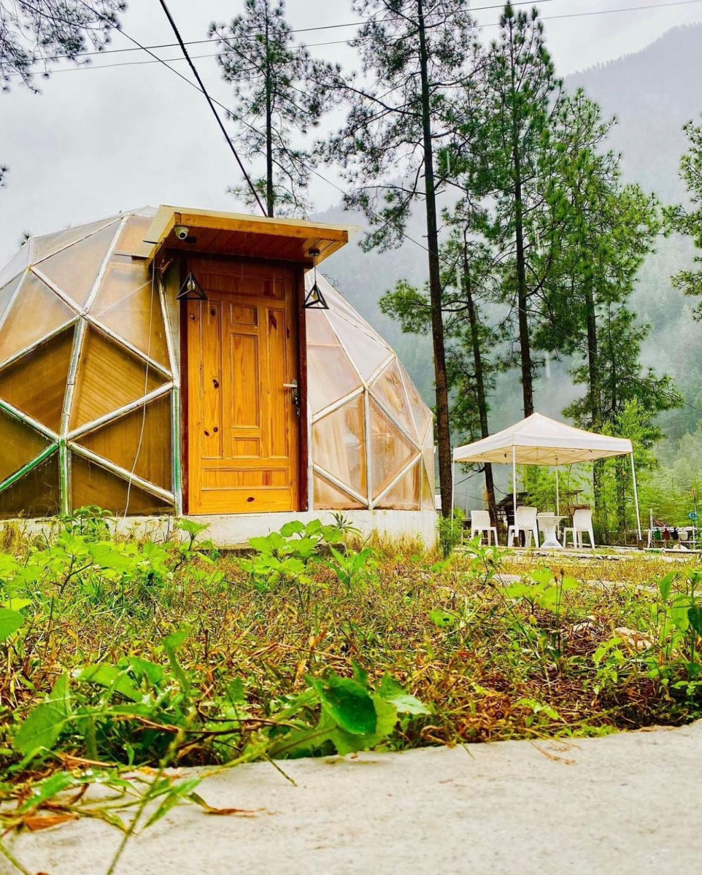
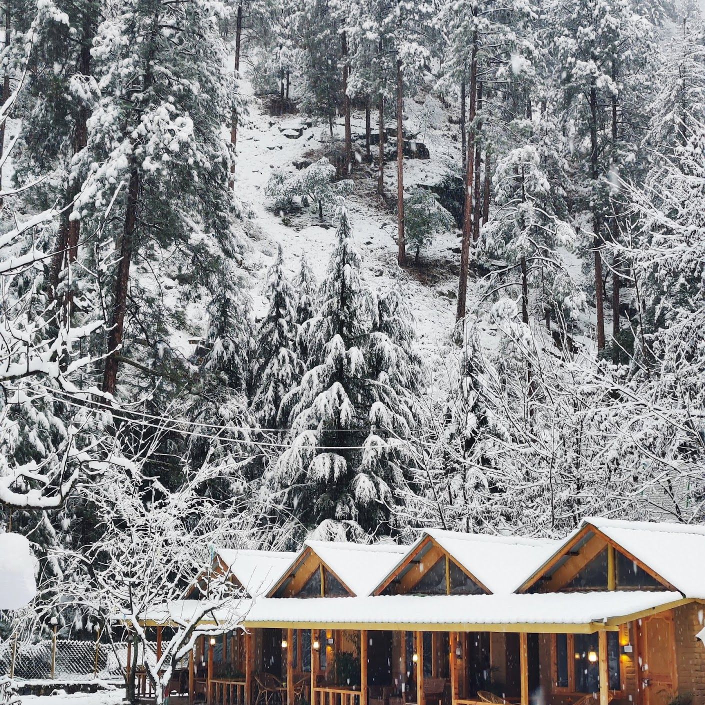
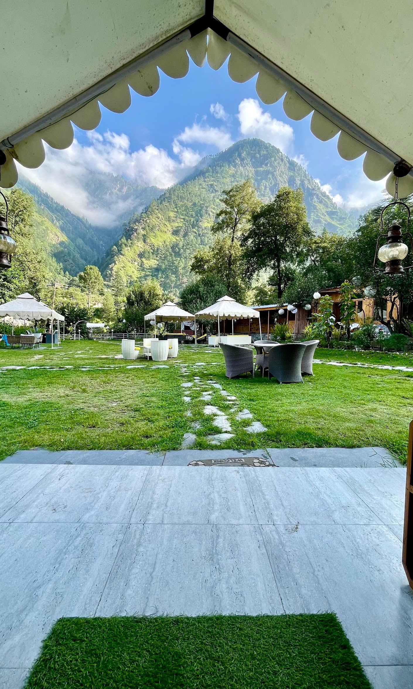
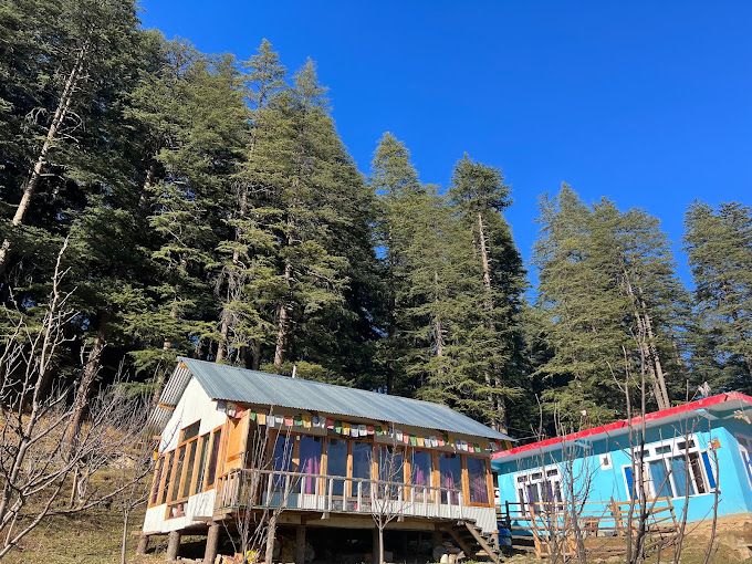
In the surrounding towns, villages, and foothill valleys, travellers can choose from a range of riverside campsites, heritage homestays, and rustic guesthouses. Staying in village homestays offers a closer glimpse into local Himachali hospitality and regional home-cooked cuisine. You can browse and book verified homestays, rural retreats, and experiential camping spots in the region on HireACamp to suit your travel itinerary.
Frequently asked questions
How difficult is the Hamta Pass trek?
Hamta Pass is generally rated as moderate in difficulty. It features gradual climbs along alpine valleys, but the high elevation and steep, boulder-strewn pass crossing require a decent level of cardiovascular fitness and endurance.
Can beginners attempt Hamta Pass?
Yes, beginners with good physical fitness and proper acclimatisation can complete the crossing. Preparing with regular cardio exercise and hiking practice beforehand is strongly advised.
What kind of footwear is recommended for the trail?
Sturdy, waterproof trekking boots with strong ankle support and deep tread are essential to handle wet trails, slippery riverbeds, loose moraine scree, and patches of packed snow.
Is Hamta Pass open during the winter months?
No, Hamta Pass is blocked by heavy winter snow from late autumn through spring. The pass typically becomes accessible to hikers only between mid-June and mid-October.
Do I need special permits to cross Hamta Pass?
Regulations and forest check-post guidelines can change based on local administration policies and weather conditions. Check locally with regional forest authorities or local guides before starting your trek.
Where you'll be
6 stays nearby shown with prices
Stays near Hamta Pass
Book a place to stay close by
More places near Hamta Pass
Within 20 km


Built from 0 Instagram posts by 0 creators. Every tip links back to the post it came from, and where creators disagree we show both sides.






