
Jenu Gudda
Peak near Kotigehara, Karnataka
1.2 km from Kotigehara
The nearest town, for stays, food and fuel.
Jenu Gudda is an elevated peak situated in the Mudigere taluk of Karnataka, framed by the dramatic ridgelines of the Western Ghats. Rising above evergreen valleys and shola grasslands, it offers sweeping viewpoints over the Charmadi Ghat stretch. Trekkers and nature enthusiasts visit the summit to experience cooler mountain weather, rolling green slopes, and early morning cloud formations.
Getting there
By road
- From KotigeharaNearest town3 min · 2 km
- From Mangaluru2 hr 10 min · 104 km
- From Mysuru4 hr 50 min · 217 km
- From Bengaluru6 hr 15 min · 314 km
Typical drive times without traffic. Stations and airports from OLA Maps; distances and typical drive times from OpenStreetMap (© OpenStreetMap contributors); notes from creators' Reels.
About Jenu Gudda
Written with AI from map data and general knowledge. Check prices and timings locally before you go.
The Landscape and Character of Jenu Gudda
Jenu Gudda stands out as one of the prominent peaks in the Mudigere region of Karnataka. The mountain takes its name from the local Kannada language, where jenu refers to honey and gudda signifies a hill, often linked to the wild beehives found nestled along rocky crags in the Western Ghats. The hill forms an integral part of the ecological corridor that buffers the coastal belt from the higher Deccan plateau.
The terrain shifts dramatically across different elevations. Lower slopes feature dense tropical vegetation and buffer plantations, which quickly give way to open, wind-swept shola grasslands higher up. Because of its positioning near the edge of the ghats, Jenu Gudda acts as a vantage point for watching cloud movements and mist rolling through the valleys below. On unusually clear days, the expansive panorama reveals neighbouring ridgelines and the low-lying plains of Dakshina Kannada.
Trekking to Jenu Gudda
Trekking is the primary reason outdoor travellers venture toward Jenu Gudda. The trail winds through mixed terrain, starting along dirt paths shaded by trees before emerging onto raw grass-covered shoulders that ascend to the top. The incline ranges from gentle strolls across grassy meadows to short, steep segments where loose soil and exposed rocks require deliberate footing.
Because the peak is relatively exposed to the elements once you leave the tree line, hikers must contend with strong wind gusts and sudden mist cover. Fog can settle rapidly within minutes, reducing visibility and adding a sense of wild isolation to the hike. Navigating the route is generally straightforward in clear weather, but staying mindful of the edge trails and rocky outcroppings is essential, as drops along the ridge can be sharp.
Read more
Best Time to Visit Jenu Gudda
The atmosphere at Jenu Gudda varies dramatically depending on the season. The post-monsoon period, spanning from October to February, provides the most balanced conditions for hiking. During these months, the slopes remain verdant green from the recent rains, skies are mostly clear, and the temperatures are cool and comfortable during the morning and evening hours.
The monsoon months between June and September transform the peak into a tempestuous world of heavy cloudbursts, surging mountain runoffs, and thick sheets of fog. While the landscape is at its most vibrant green, trails turn muddy and slick, and Western Ghats leeches become highly active. The summer months from March to May bring higher daytime temperatures and dry out the grasses into golden hues. If visiting in the summer, early morning hikes are strongly advised to avoid the midday sun on the unsheltered slopes.
How to Reach Jenu Gudda
The nearest base town for exploring Jenu Gudda is Mudigere, located in Karnataka's Chikkamagaluru district. Mudigere is well connected by state highways to major regional hubs including Chikkamagaluru town, Hassan, and Mangalore. Regular public buses and private vehicles connect Mudigere with Bangalore, which lies roughly five to six hours to the east by road.
From Mudigere, local roads lead toward the foothills and villages surrounding the peak. You can hire a local auto-rickshaw or taxi from Mudigere, or drive your own vehicle to the starting points of the trails. Travellers arriving by train typically disembark at Kadur, Hassan, or Mangalore, and then proceed to Mudigere by road. The nearest domestic and international airport is in Mangalore, which serves as a convenient transit hub for out-of-state visitors.
Tips for Planning Your Hike
A successful excursion to Jenu Gudda requires basic outdoor preparation. Sturdy footwear with dependable grip is essential, particularly during and immediately after the monsoon when the grassy inclines become slippery. Wearing full-length hiking trousers and socks helps protect against scratches from thorny brush and keeps leeches at bay during wet conditions.
There are no commercial stalls or water points along the mountain ridge, so you must carry adequate drinking water, trail snacks, and sun protection such as a hat and sunscreen. Weather in the Western Ghats can shift without warning, making a lightweight rain jacket or windbreaker a sensible addition to your pack regardless of the forecast. Finally, this is an ecologically fragile environment; visitors should carry all of their plastic and food waste back down the hill for responsible disposal.
Places to Visit Near Jenu Gudda
The countryside surrounding Mudigere is densely packed with waterfalls, historic points of interest, and panoramic view stops. Just a short drive away lies the famed Charmadi Ghat, celebrated for its hairpin turns and staggering cliffside vistas. Nearby water attractions include Alekan Waterfalls and Ermayi Waterfalls, which roar during the monsoon season.
Those interested in hiking can explore other nearby summits like Jenukal Gudda and the ancient ruined fortress of Ballalarayana Durga Fort, perched atop a neighbouring mountain spine. The scenic viewpoints of Kode Kallu offer rock formations overlooking deep valleys, while the gentle waters of the Netravati River provide pleasant riverside spots downstream. Further afield, spiritual travellers can connect their journey to prominent pilgrimage sites such as Dharmasthala and Horanadu.
Where to Stay Near Jenu Gudda
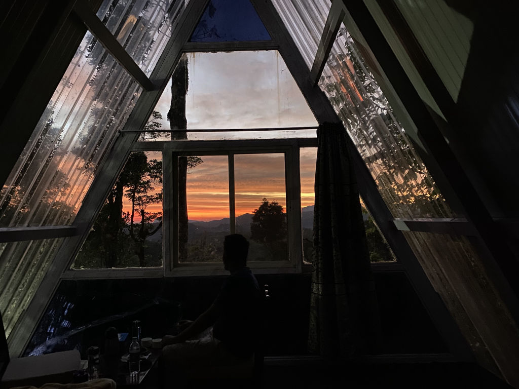
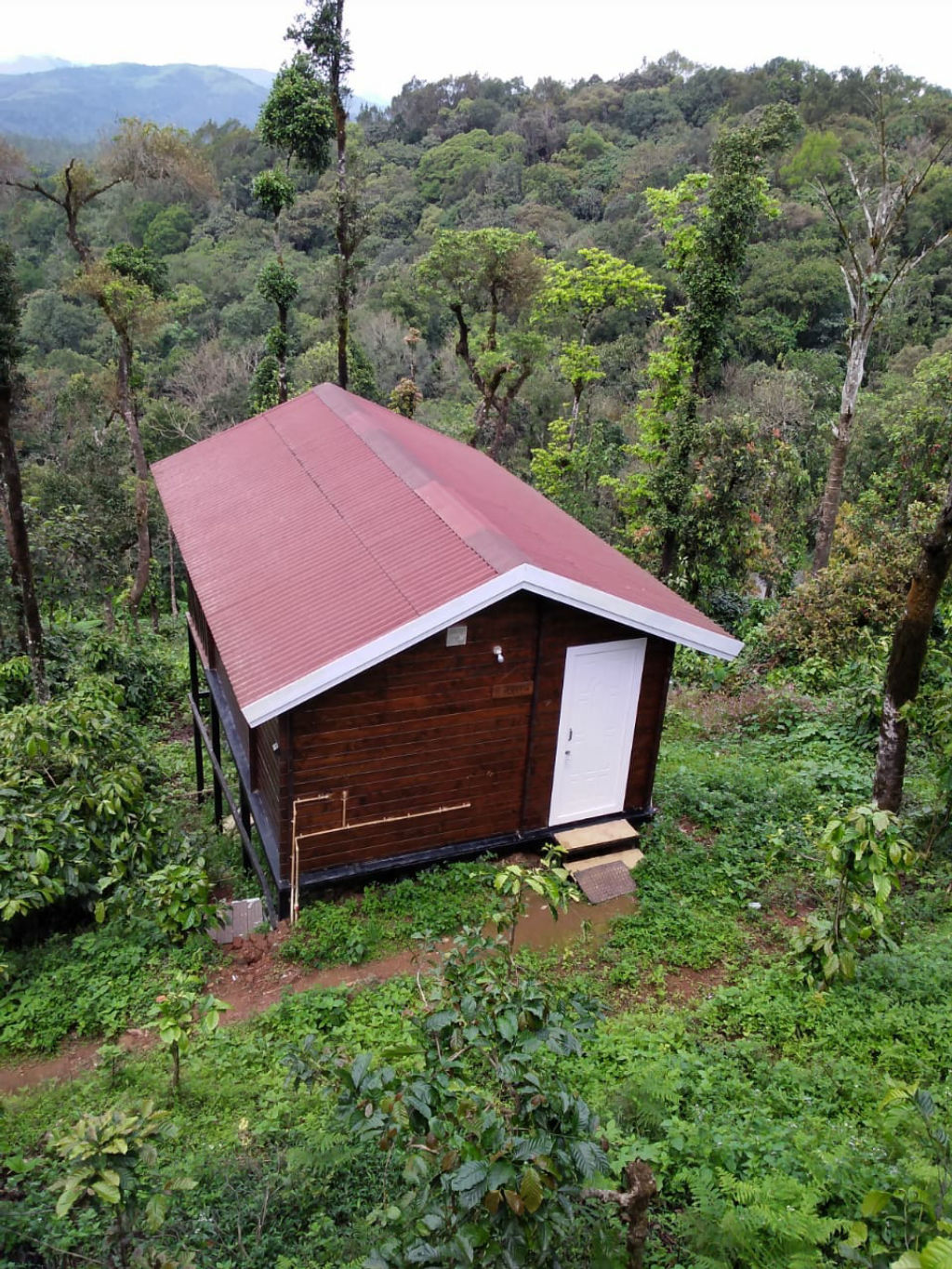
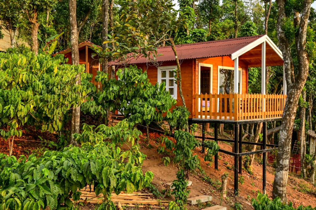
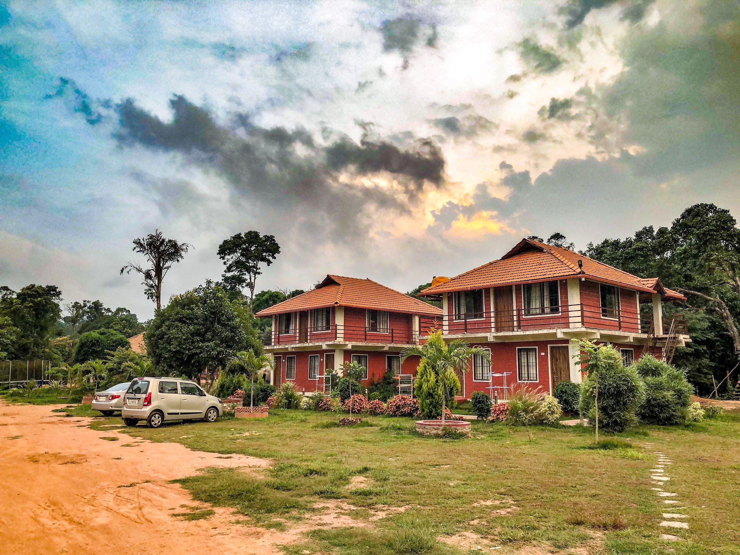
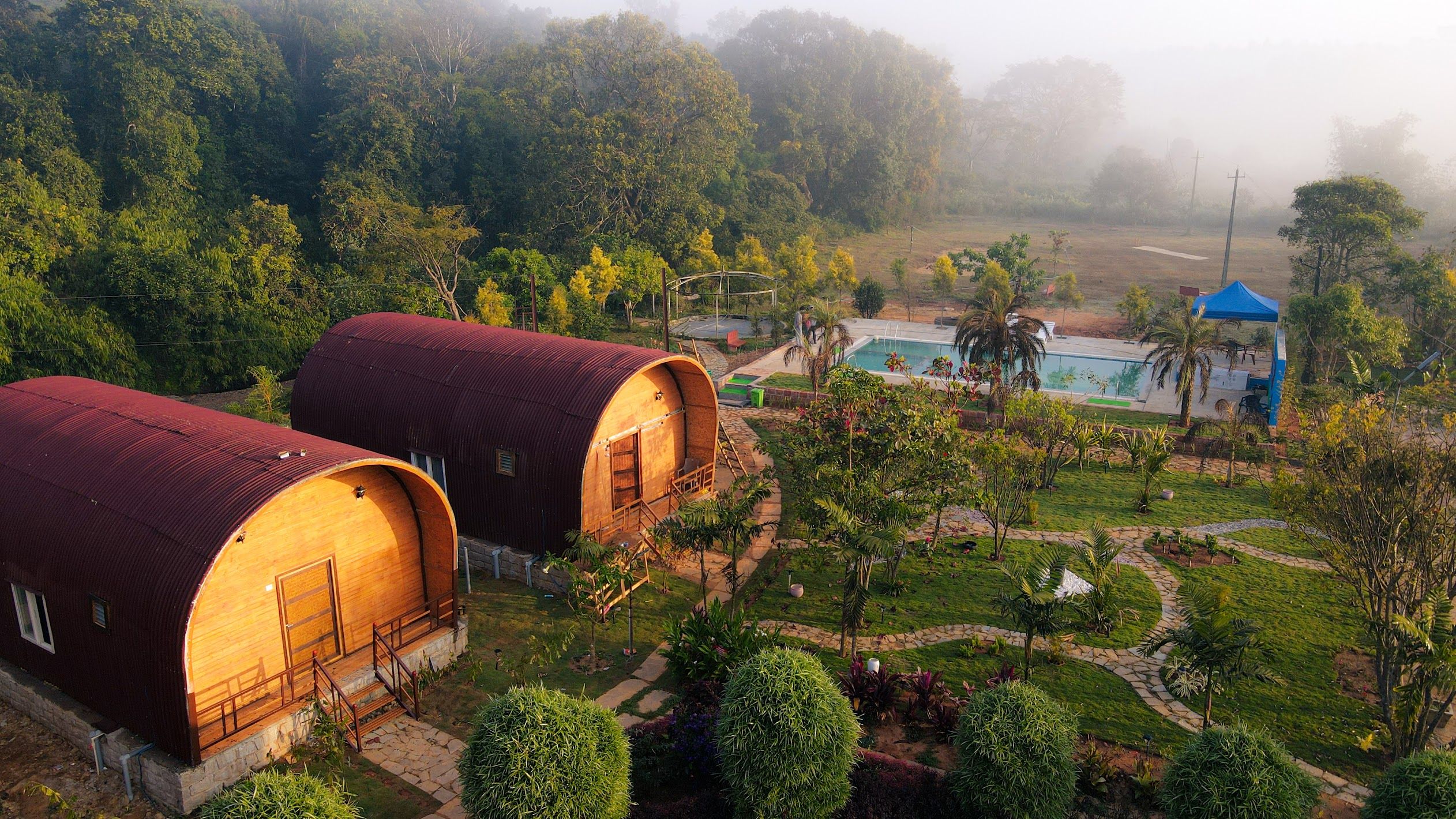
The area around Mudigere and the lower fringes of Jenu Gudda is renowned for tranquil rural accommodations surrounded by coffee and spice estates. Staying amidst these private plantations allows travellers to immerse themselves in nature, waking up to the songs of endemic birds and fresh morning air.
Camps, rustic homestays, and plantation getaways in the vicinity of Jenu Gudda and Mudigere can be found on HireACamp. Booking an authentic local stay gives you easy access to early morning trailheads while enjoying traditional Malnad hospitality and home-cooked regional meals.
Frequently asked questions
Where is Jenu Gudda located?
Jenu Gudda is situated in the Mudigere taluk of Chikkamagaluru district in Karnataka, near the edge of the Charmadi Ghat range.
How difficult is the trek to Jenu Gudda?
The trek is moderately easy to moderate, consisting of a mix of shaded trails and open grassland inclines that can be tackled by most people with basic fitness.
Are leeches common on the Jenu Gudda trail?
Yes, leeches are very common during the monsoon season and early post-monsoon months from June through October. Wearing protective leech socks or applying salt is recommended during wet weather.
What is the best time of day to hike Jenu Gudda?
Early mornings are ideal for climbing Jenu Gudda, as temperatures are cool and you stand a good chance of seeing mist carpets and cloud beds covering the lower valleys.
Can Jenu Gudda be visited as a day trip from Mudigere?
Yes, Jenu Gudda can easily be visited as a morning or afternoon trip from Mudigere, leaving ample time to explore nearby waterfalls or viewpoint spots in the same day.
Where you'll be
Mudigere taluk, KA · 5 stays nearby shown with prices
Stays near Jenu Gudda
Book a place to stay close by
More places near Jenu Gudda
Within 20 km


Built from 0 Instagram posts by 0 creators. Every tip links back to the post it came from, and where creators disagree we show both sides.






