
Kotigehara
Destination in Karnataka
Kotigehara is a quiet hamlet situated at the threshold of the Charmadi Ghat in the Chikkamagaluru district of Karnataka. Surrounded by sprawling coffee plantations, rolling hills, and dense shola forests, it acts as a strategic stopover for travellers exploring the Western Ghats. Visitors are drawn here for its pleasant mountain climate, scenic viewpoints, trekking trails, and access to numerous regional waterfalls.
Getting there
By road
- From Mangaluru2 hr 5 min · 102 km
- From Mysuru4 hr 45 min · 202 km
- From Bengaluru6 hr 15 min · 312 km
- From Coimbatore9 hr 5 min · 414 km
Typical drive times without traffic. Stations and airports from OLA Maps; distances and typical drive times from OpenStreetMap (© OpenStreetMap contributors); notes from creators' Reels.
About Kotigehara
Written with AI from map data and general knowledge. Check prices and timings locally before you go.
Understanding Kotigehara and its landscape
Kotigehara occupies a distinct geographic position in the Western Ghats of Karnataka. Located in the Mudigere taluk of Chikkamagaluru district, the town sits right where the higher interior plateau begins its dramatic descent toward the coastal plains through the Charmadi Ghat. Because of this geography, the area experiences high levels of precipitation, thick seasonal mist, and cooler temperatures than the surrounding plains.
The landscape is characterized by rolling hillocks covered in shaded coffee and spice estates, intermingled with stretches of evergreen forest. Streams and rivulets weave through the valleys, feeding into larger regional water systems like the Netravati River. For road travellers, Kotigehara is recognized as a vital mountain crossroads, offering a pause before or after navigating the steep, winding hairpin curves of the ghat road.
Things to do in and around Kotigehara
A trip to Kotigehara revolves largely around the natural outdoors and scenic exploration. Driving or riding along the nearby mountain corridors offers sweeping vistas of deep ravines, forested cliffs, and winding valleys. A short excursion up into Charmadi Ghat reveals dramatic viewpoints such as Kode Kallu and Jenukal Gudda, both popular for their panoramic perspectives of the surrounding mountain ranges and sea of clouds during clear mornings.
Water bodies form another major attraction for those spending time in the area. Alekan Waterfalls, situated just a short drive from the main settlement, provides an easy-to-reach roadside spot where water cascades across rocks amid lush green foliage. Further down along the river valleys, quiet stretches along the Netravati River offer peaceful locations to sit by flowing water and observe local birdlife in early mornings.
Read more
Trekking and historic getaways nearby
The mountains bordering Kotigehara are home to some of the most prominent hiking trails in Karnataka. One of the most famous routes leads up to Ballalarayana Durga Fort, an ancient fortification perched on a high ridge that dates back to the Hoysala era. While the fort itself stands largely in ruins, the stone walls and high vantage point provide expansive views across the entire valley system.
Trek enthusiasts often combine the fort climb with a route toward Bandaje Arbi, a striking waterfall where water plunges over a sheer cliff face into a forested abyss. Further afield, day trips can be planned to popular Chikkamagaluru landmarks like Mullayanagiri Peak, the highest summit in Karnataka, or Hirekolale Lake. Hikers should check locally before planning ambitious long-distance treks, as trail conditions change rapidly during the wet months and local forest guidelines may apply.
Pilgrimage and cultural sites
Kotigehara is conveniently positioned for travellers looking to visit significant cultural and spiritual centres in the Malnad and coastal belts. To the west, down the ghats, lies the revered temple town of Dharmasthala, home to the Sri Kshetra Dharmasthala Manjunatha Swamy Temple. The temple is one of the most visited pilgrimage destinations in southern India, attracting devotees from across the country.
To the north, accessible through scenic countryside routes, sits Horanadu, famous for the Adishakthyathmaka Shri Horanadu Annapoorneshwari Temple nestled amidst dense hills and plantations. Both temple destinations can be visited on extended day drives from Kotigehara, making the town an ideal transit hub for travellers wishing to combine outdoor nature exploration with sacred heritage visits.
Best time to visit Kotigehara
The ideal time to visit Kotigehara depends on what kind of experience you are seeking from the Western Ghats. The post-monsoon and winter months, spanning from October to February, bring clear skies, crisp mornings, and comfortable daytime temperatures. This period is the safest and most comfortable for trekking, visiting viewpoints, and taking long road trips, as the landscape remains vibrant green from recent rains.
The monsoon season, from June to September, transforms the entire region into a rain-soaked wilderness. Rains can be torrential and constant, swelling regional waterfalls like Alekan and Ermayi to full strength. While the mist-draped hills and roaring streams are spectacular during this period, travel requires caution, as mountain roads can face reduced visibility and slippery surfaces. The pre-monsoon summer months from March to May are generally warmer, though temperatures remain relatively moderate compared to the plains, making it a peaceful weekend retreat.
How to reach Kotigehara
Kotigehara is primarily reached by road, connected by regional state highways and national highways passing through the Malnad region. From Bengaluru, the distance is approximately 312 km, taking about 6 hours and 10 minutes under typical traffic-free conditions. The standard route generally passes through Hassan and Mudigere before reaching the start of the ghats.
Regular state transport buses operate along routes connecting Bengaluru, Chikkamagaluru, Mudigere, and Mangaluru, with many services halting at Kotigehara. The nearest major railway stations and airports are located in Mangaluru on the coast and Hassan or Chikkamagaluru in the interior. Private taxis and self-drive vehicles remain the most practical mode of travel for those who plan to explore the spread-out viewpoints and trailheads at their own pace.
Where to stay around Kotigehara
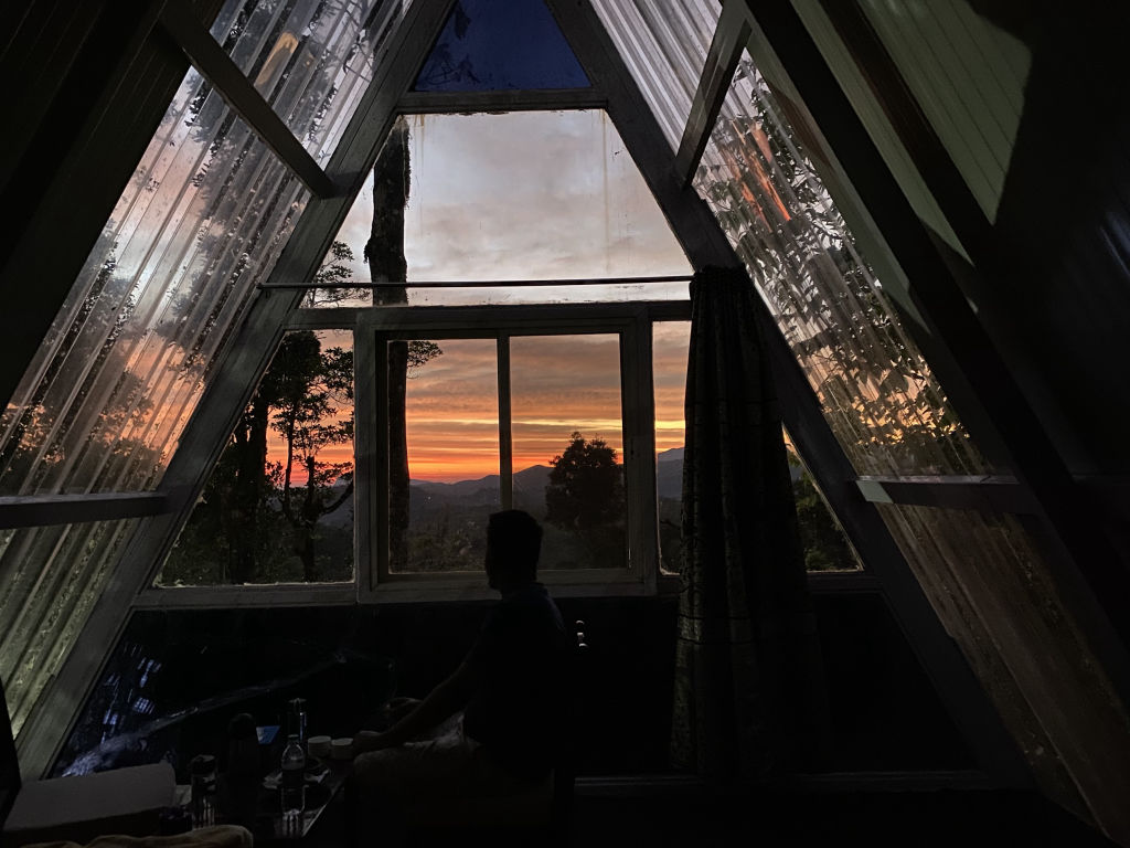
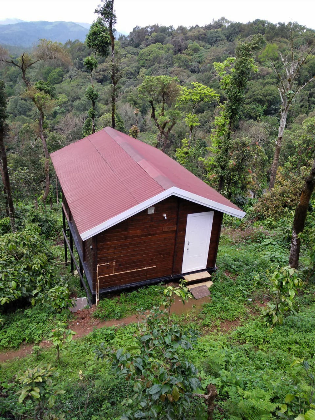
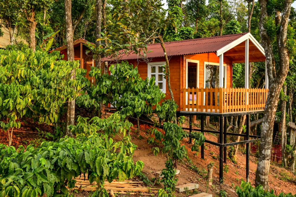
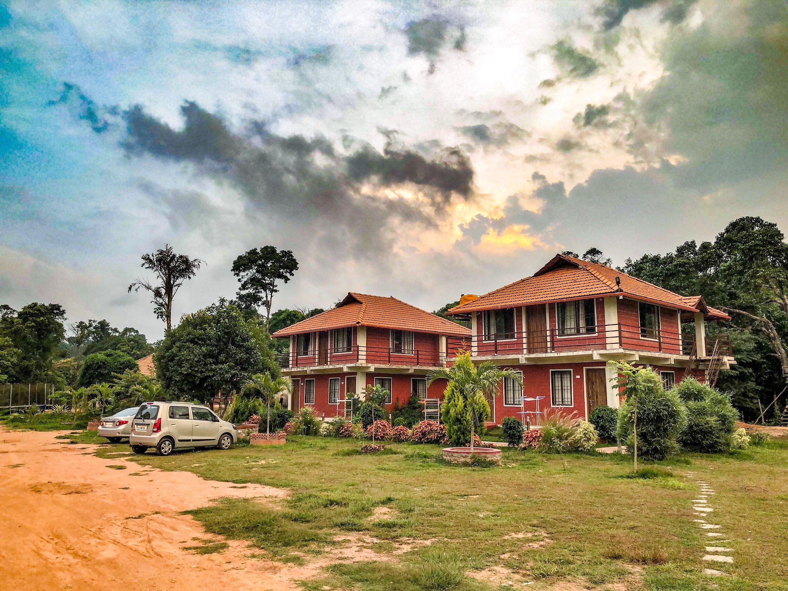
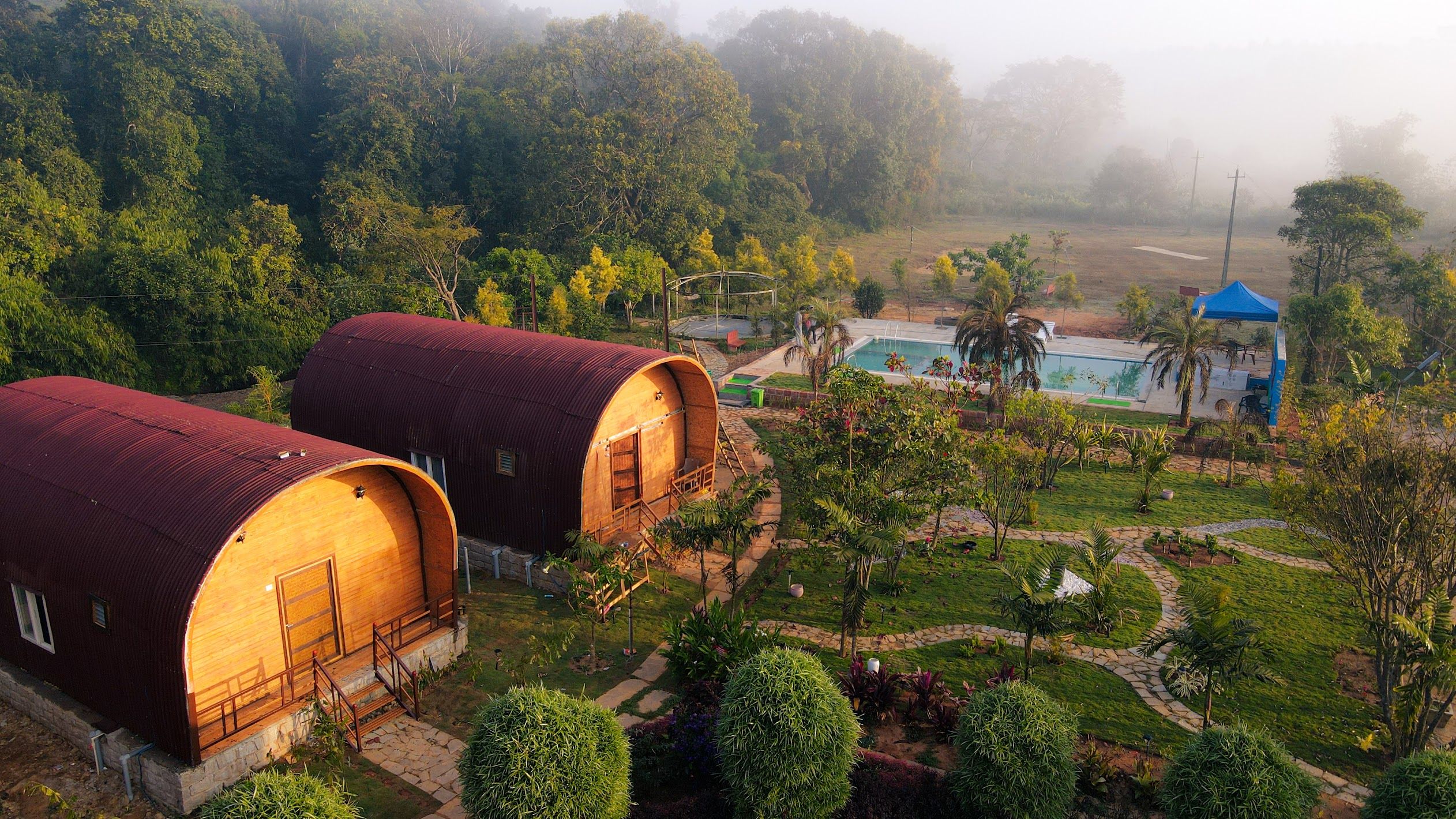
Accommodation options in and around Kotigehara are geared toward nature-focused stays that blend into the surrounding landscape. Visitors will find rustic plantation homestays set amidst coffee and pepper vines, quiet countryside retreats, and camping options positioned close to the edge of the hills.
Staying around Kotigehara allows travellers to wake up to birdsong, cool mountain air, and fresh plantation produce. Stays, riverside camps, and homestays throughout Kotigehara and the surrounding valleys of Mudigere and Charmadi can be browsed and booked directly on HireACamp. Booking in advance is recommended if you plan to visit over long weekends or peak holiday seasons.
Frequently asked questions
What is Kotigehara famous for?
Kotigehara is well known as the gateway to the Charmadi Ghat, surrounded by coffee plantations, misty hills, and scenic waterfalls like Alekan.
How far is Kotigehara from Bengaluru?
Kotigehara is roughly 312 km from Bengaluru, which typically takes around 6 hours and 10 minutes by road in normal traffic conditions.
Which waterfalls are close to Kotigehara?
Alekan Waterfalls is located just 3 km away, while Bandaje Arbi and Ermayi waterfalls are also within reachable driving and trekking distances.
Is Kotigehara safe to visit during the monsoon?
Yes, Kotigehara is exceptionally scenic during the monsoon, but heavy rainfall and dense fog require extra care while driving along the ghat sections.
Where can I book accommodation in Kotigehara?
You can find and book homestays, nature retreats, and outdoor campsites in and around Kotigehara on HireACamp.
Where you'll be
5 stays nearby shown with prices
Stays near Kotigehara
Book a place to stay close by
Things to do in Kotigehara
48 places creators recommend within 30 km


Built from 0 Instagram posts by 0 creators. Every tip links back to the post it came from, and where creators disagree we show both sides.






