
Nanda Ghunti
Peak near Sutol, Uttarakhand
13 km from Sutol
The nearest town, for stays, food and fuel.
Nanda Ghunti is a prominent mountain peak rising to over 6,300 metres on the outer rim of the Nanda Devi Sanctuary in Uttarakhand. Trekkers and mountaineers are drawn here by its dramatic pyramid profile, snow-covered ridges, and deep-rooted place in local Himalayan mythology. The surrounding meadows and high passes provide some of the most captivating vistas in the Garhwal Himalayas.
Getting there
By road
- From Dehradun6 hr 55 min · 278 km
- From New Delhi10 hr 10 min · 490 km
- From Chandigarh10 hr 35 min · 447 km
Typical drive times without traffic. Stations and airports from OLA Maps; distances and typical drive times from OpenStreetMap (© OpenStreetMap contributors); notes from creators' Reels.
About Nanda Ghunti
Written with AI from map data and general knowledge. Check prices and timings locally before you go.
About Nanda Ghunti and its Mountain Landscape
Nanda Ghunti rises to an elevation of 6,309 metres on the outer edge of the Nanda Devi Sanctuary in the Chamoli district of Uttarakhand. Flanked by the commanding massif of Trishul, this distinct pyramid-shaped peak is revered across the region. In local Garhwali folklore, it is deeply tied to the lore of Goddess Nanda, forming an integral part of the sacred mountain geography celebrated during traditional pilgrimages such as the Nanda Devi Raj Jat.
The mountain features stark rock faces, steep snow ridges, and hanging glaciers that spill into alpine valleys. For mountaineers, an ascent of Nanda Ghunti is a serious technical undertaking requiring specialized training and equipment. For trekkers traversing the alpine meadows of Chamoli, its radiant snow-covered summit provides one of the most striking visual backdrops in the northern Himalayas.
Treks Offering Views of Nanda Ghunti
While climbing the summit of Nanda Ghunti is reserved for seasoned mountaineering expeditions, travellers and trekkers encounter panoramic vistas of the peak along several classic trails in the Garhwal region. The high-altitude meadows of Ali Bugyal and Bedni Bugyal provide some of the clearest unobstructed views of Nanda Ghunti standing alongside the trident peaks of Trishul.
Trekkers bound for Roopkund and the higher reaches toward Homkund walk within close visual range of its southern and eastern slopes. On clear mornings from these sprawling grassy ridges, the first light paints the western face of Nanda Ghunti in hues of gold and crimson. Other trails across the upper Chamoli district, including routes around Kuari Pass and Pangarchula, also reveal glimpses of this dramatic summit rising high above the treeline.
Read more
Best Time to Visit the Nanda Ghunti Region
The weather in this part of Uttarakhand is sharply seasonal, dictating when trekking routes and vantage points are safely accessible. The ideal windows to experience the mountain region are from May to June and from September to November.
The pre-monsoon summer months bring comfortable daytime temperatures and open trails, though afternoons can occasionally see clouds gathering over the ridges. This is also when the high alpine meadows come alive with fresh greenery and wild blooms. July and August bring heavy monsoon downpours across Uttarakhand, which can trigger landslides, cause road blockages in the river valleys, and obscure the peaks behind thick cloud cover.
Autumn, running from mid-September through early November, is considered by many to offer the sharpest visibility. With the monsoon moisture swept away, the atmosphere is crisp, and Nanda Ghunti stands out cleanly against deep blue skies. By late November, winter sets in, bringing heavy snowfall that blankets the high passes until late spring.
How to Reach Nanda Ghunti
Reaching the valleys and trailheads that look out toward Nanda Ghunti involves travelling through the central Garhwal belt of Uttarakhand. The primary transit hubs are Rishikesh and Haridwar, which are well connected to major Indian cities by rail and road networks. The closest commercial airport is Jolly Grant Airport in Dehradun.
From Rishikesh, the journey proceeds along the mountain highway running parallel to the Alaknanda River, passing through Devprayag, Srinagar, Rudraprayag, and Karnaprayag. To access popular trailheads like Lohajung and Wan—the customary starting points for treks facing Nanda Ghunti—travellers turn southeast from Karnaprayag toward Tharali and Dewal. Mountain drives take considerable time due to winding terrain and changing conditions, so breaking the journey with an overnight halt along the river valleys is recommended.
Public buses and shared jeeps operate between the major market towns in the district, though hiring a private vehicle offers greater flexibility when heading into remote base villages.
Places to Visit Around Nanda Ghunti
The mountainous area around Nanda Ghunti is dotted with historic settlements, ancient temples, and river confluences. At Nandprayag, located along the main valley road, the Alaknanda and Nandakini rivers meet at a tranquil confluence that has drawn pilgrims for centuries. Further up the valley lies Jyotirmath, an important cultural and spiritual centre that serves as an entry point for high-altitude trails.
Travellers interested in traditional hill architecture and quiet mountain trails can explore shrines like the Gopinath Temple or the remote Panch Kedar temples, including Kalpeshwar and Rudranath. These paths wind through dense forests of oak and rhododendron, passing quiet hamlets where age-old Garhwali traditions remain preserved. For those seeking high alpine viewpoints, the ridge around Pangarchula provides expansive panoramas across the entire mountain amphitheatre.
Tips for Trekking Near Nanda Ghunti
Exploring the high-altitude terrain near Nanda Ghunti demands sensible physical preparation and reliable gear. Altitudes in this region rise quickly above 3,000 metres, making gradual acclimatization and regular hydration essential to prevent acute mountain sickness.
A tiered clothing system is the most effective way to manage changing mountain conditions. Carry moisture-wicking base layers, an insulating fleece, and a sturdy windproof and waterproof outer layer. Sturdy trekking shoes with reliable ankle support and deep tread are essential for negotiating loose moraine, rocky paths, and occasional snow patches. Always pack UV-rated sunglasses, sunscreen, and a warm hat, as solar radiation at high elevations is strong.
Because facilities are sparse beyond the base villages, carry personal medical supplies and water treatment solutions. Check locally for required forest and trekking permits before heading out, and always travel with certified local guides who know the local terrain.
Where to Stay near Nanda Ghunti
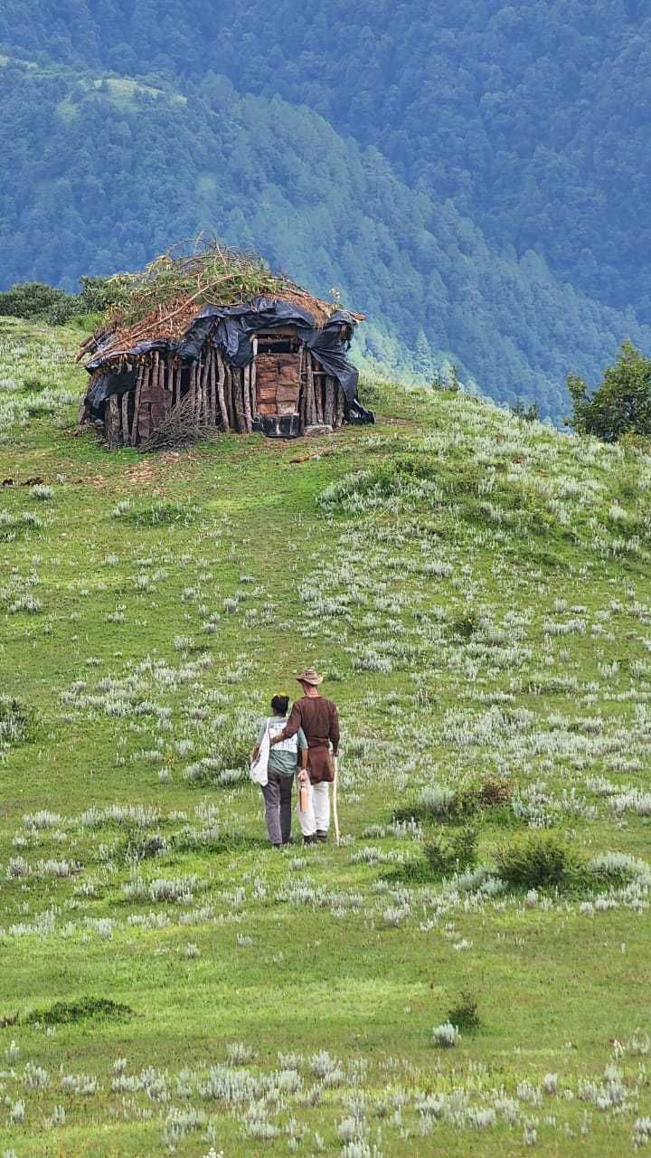
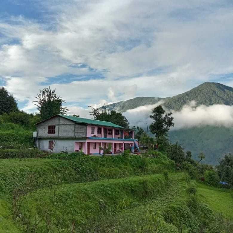
Accommodation options vary depending on how far into the mountains your itinerary takes you. Base towns such as Nandprayag, Karnaprayag, and Jyotirmath have simple guesthouses, rest houses, and family-run lodges that provide comfortable beds and warm, home-cooked regional food. In smaller trailhead villages like Lohajung, village homestays allow visitors to experience authentic local hospitality.
On the trekking routes higher up, accommodation is strictly wilderness camping at designated campsites along the meadows and ridge lines. You can check HireACamp to find rustic homestays, village stays, and managed camping spots in Uttarakhand that put you close to the trails.
Frequently asked questions
Where is Nanda Ghunti located?
Nanda Ghunti is situated in the Chamoli district of Uttarakhand, standing on the outer ridge of the Nanda Devi Sanctuary in the Garhwal Himalayas.
Which treks offer the best views of Nanda Ghunti?
The high alpine meadows of Bedni Bugyal and Ali Bugyal, as well as the Roopkund and Homkund trails, offer close and spectacular views of Nanda Ghunti.
Can beginners climb Nanda Ghunti?
Climbing the summit of Nanda Ghunti is a technical mountaineering expedition meant for experienced climbers, but beginners with reasonable fitness can easily embark on trekking routes that showcase views of the peak.
What is the best season to see Nanda Ghunti clearly?
The autumn months of September through November offer the clearest skies and best visibility, while May and June provide pleasant trekking weather and blooming meadows.
Are permits needed to trek in the Nanda Ghunti region?
Yes, trekking through the forest reserves and alpine bugyals requires permits from the local forest department, which should be checked and arranged locally before starting your journey.
Where you'll be
Uttarakhand · 2 stays nearby shown with prices
Stays near Nanda Ghunti
Book a place to stay close by
More places near Nanda Ghunti
Within 20 km
Built from 0 Instagram posts by 0 creators. Every tip links back to the post it came from, and where creators disagree we show both sides.






