
Trisul
Peak near Sutol, Uttarakhand
16 km from Sutol
The nearest town, for stays, food and fuel.
Trisul is a striking massif of three Himalayan peaks in the Chamoli district of Uttarakhand, renowned for its distinct trident-like profile that evokes the sacred weapon of Lord Shiva. Towering along the southwestern rim of the Nanda Devi Sanctuary, it ranks among the most prominent and dramatic landmarks in the Garhwal Himalayas. Trekkers and nature lovers travel here to witness its snow-swept ridges and sweeping alpine views from nearby meadows and mountain passes.
Getting there
By road
- From Dehradun7 hr 20 min · 306 km
- From New Delhi10 hr 35 min · 519 km
- From Chandigarh11 hr · 476 km
Typical drive times without traffic. Stations and airports from OLA Maps; distances and typical drive times from OpenStreetMap (© OpenStreetMap contributors); notes from creators' Reels.
About Trisul
Written with AI from map data and general knowledge. Check prices and timings locally before you go.
About Trisul and its geography
Trisul stands as one of the most recognizable and revered massifs in the Indian Himalayas. Located in the Chamoli district of Uttarakhand, the mountain takes its name from the Hindi word for trident, referencing the three distinct peaks—Trisul I, Trisul II, and Trisul III—that together resemble the trident associated with Lord Shiva. The highest point, Trisul I, climbs to an impressive elevation of 7,120 meters above sea level, making it one of the premier high-altitude summits in the region.
The massif forms the southwestern rampart of the outer mountain ring enclosing the Nanda Devi Sanctuary. Flanked by deep glacial cirques and the Sili Samudra Glacier, the steep western and southern precipices of Trisul plunge thousands of meters toward high-altitude pastures and rushing mountain streams. Its geographic presence defines the skyline across the Chamoli frontier, commanding attention from high ridges and valleys across both the Garhwal and Kumaon regions.
Treks and viewpoints facing Trisul
While ascending to the summit of Trisul requires advanced technical mountaineering skills and serious expedition logistics, ordinary trekkers can experience the massif's grandeur from numerous trails winding through the surrounding hills. Some of the finest vantage points lie along routes crossing the expansive Bugyals, or high-altitude alpine meadows, of Chamoli. Vast expanses like Bedni Bugyal and Ali Bugyal offer classic, unobstructed panoramas where Trisul and its neighbor Nanda Ghunti appear to rise directly out of rolling green turf.
Another famous route offering close perspectives of Trisul is the trail leading toward the high-altitude lake of Roopkund. Along this path, the immense southern face of the mountain towers overhead in dramatic scale. Further north, the celebrated Kuari Pass trail provides a broad horizontal perspective of the Garhwal giants, showing Trisul standing alongside peaks like Kamet and Dronagiri. Starting hikes from base hamlets like Lohajung allows travelers to watch the morning light illuminate Trisul's frozen crests in shifting shades of gold and amber.
Read more
Best time to visit the Trisul region
The visual clarity and trail conditions around Trisul vary dramatically depending on the Himalayan season. The pre-monsoon months of May and June are ideal for walking through the lower pastures. During this period, alpine flowers begin to awaken, rhododendrons paint the forest slopes in vivid pinks and reds, and high passes gradually shed their winter snowpack. Daytime conditions are pleasant for trekking, though clouds often gather over the summits by late afternoon.
The post-monsoon window, spanning September through November, offers the sharpest visibility of the entire year. With monsoon rains having washed the atmosphere clear of moisture and haze, deep blue skies provide crystal-clear views of Trisul's three summits and sheer glacial walls. As late autumn transitions into winter, temperatures drop significantly, bringing heavy snowfall to the high trails. While deep trails become impassable in peak winter, lower lookout points across Chamoli continue to provide striking vistas of the snowbound massif.
How to reach the Trisul region
Reaching the base villages and viewpoint trails around Trisul involves journeying into the mountainous heart of Uttarakhand. The nearest commercial airport is Jolly Grant Airport near Dehradun, while the primary railway stations connecting the region with rest of the country are located at Rishikesh and Haridwar. From these transport hubs, mountain roads follow the course of the Alaknanda and Pindar rivers, traversing scenic river junctions including Devprayag, Rudraprayag, and Karnaprayag.
Travelers heading toward southern vantage points and the Roopkund trail typically branch off at Karnaprayag toward Tharali and continue uphill to settlements like Lohajung. Those visiting northern ridges such as Kuari Pass or Pangarchulla Peak proceed further along the highway to the temple town of Jyotirmath. Mountain travel times depend heavily on weather and road conditions, so it is best to check locally for current route advisories before setting out.
Tips for your visit
Exploring the high meadows and passes beneath Trisul demands careful planning and respect for alpine terrain. Altitude sickness is a very real factor on trails that climb above 3,000 meters. Taking time to acclimatize at intermediate staging villages such as Lohajung or Jyotirmath before pushing onto steeper terrain helps your body adjust safely and prevents altitude-related illness.
Weather in the upper Himalayas can change abruptly, making durable layering essential throughout the year. Bring warm fleece layers, a reliable windproof and waterproof outer jacket, sturdy hiking boots with good ankle support, and adequate sun protection including polarized sunglasses to guard against snow glare. Because mobile networks are irregular or completely absent on the higher trails, carry backup power banks and travel with experienced local guides who know the routes and emergency protocols. Always pack out your trash to keep these pristine fragile environments clean.
Places to visit around Trisul
The mountainous terrain encircling Trisul is packed with natural wonders, ancient temples, and classic trekking routes. Not far from the peak sits the Sili Samudra Glacier, a vast river of ice that shapes the rocky landscape below the eastern walls. Nearby lies the enigmatic glacial tarn of Roopkund, situated beneath the imposing ridgelines that link Trisul with Nanda Ghunti.
Cultural landmarks also enrich the surrounding valleys. The revered Latu Devta Temple at Wan serves as a spiritual focal point for local folklore and seasonal pilgrimages. To the north, the sacred town of Jyotirmath houses ancient monasteries and temples, while the secluded Bhavishya Badri Temple sits surrounded by dense cedar woods. Adventurous hikers can also head toward high vantage points around Kuari Pass or make the ascent toward Pangarchulla Peak for unmatched views across the Nanda Devi Biosphere Reserve.
Where to stay
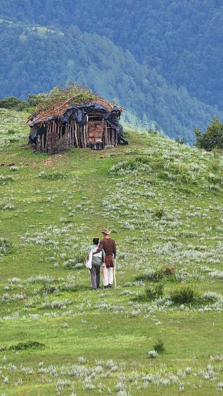
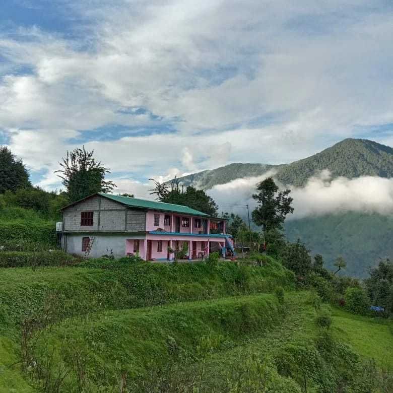
Accommodations near the trailheads surrounding Trisul range from rustic mountain stays to tented campsites. Base villages like Lohajung and Wan offer welcoming homestays and family-run guesthouses where travelers can rest, enjoy home-cooked regional meals, and prepare for the trails ahead. In larger hub towns like Jyotirmath, travelers will find traditional lodges and guesthouses suited for acclimatization days.
Out on the trekking routes, designated high-altitude camping grounds provide the immersive experience of sleeping beneath starry skies with the outline of Trisul looming in the background. A wide selection of local homestays, nature retreats, and outdoor camps across the region can be found on HireACamp.
Frequently asked questions
What does the name Trisul mean?
Trisul translates to trident in Hindi and Sanskrit, named after the three distinct summits that resemble the sacred trident weapon of Lord Shiva.
Can beginners climb Trisul Peak?
No, climbing to the summit of Trisul is a serious technical mountaineering expedition requiring specialized mountaineering training, high-altitude equipment, and formal permits. However, beginners in good fitness can complete trekking routes that offer clear views of the peak.
Where are the best views of Trisul?
Spectacular unobstructed views of Trisul can be enjoyed from the alpine meadows of Bedni Bugyal and Ali Bugyal, as well as high-altitude viewpoints like Kuari Pass and the slopes around Auli.
What is the best season to see Trisul Peak?
The peak is best viewed from May to June during the spring and summer trekking season, and from September to November when crisp post-monsoon skies offer the clearest visibility.
Do I need permits to trek near Trisul?
Treks entering high-altitude forest divisions and areas bordering the Nanda Devi Biosphere Reserve generally require forest entry permits. Check with local authorities or trail guides at the relevant base villages for current permit requirements.
Where you'll be
Uttarakhand · 2 stays nearby shown with prices
Stays near Trisul
Book a place to stay close by
More places near Trisul
Within 20 km
Built from 0 Instagram posts by 0 creators. Every tip links back to the post it came from, and where creators disagree we show both sides.






