
Sara Umga Pass
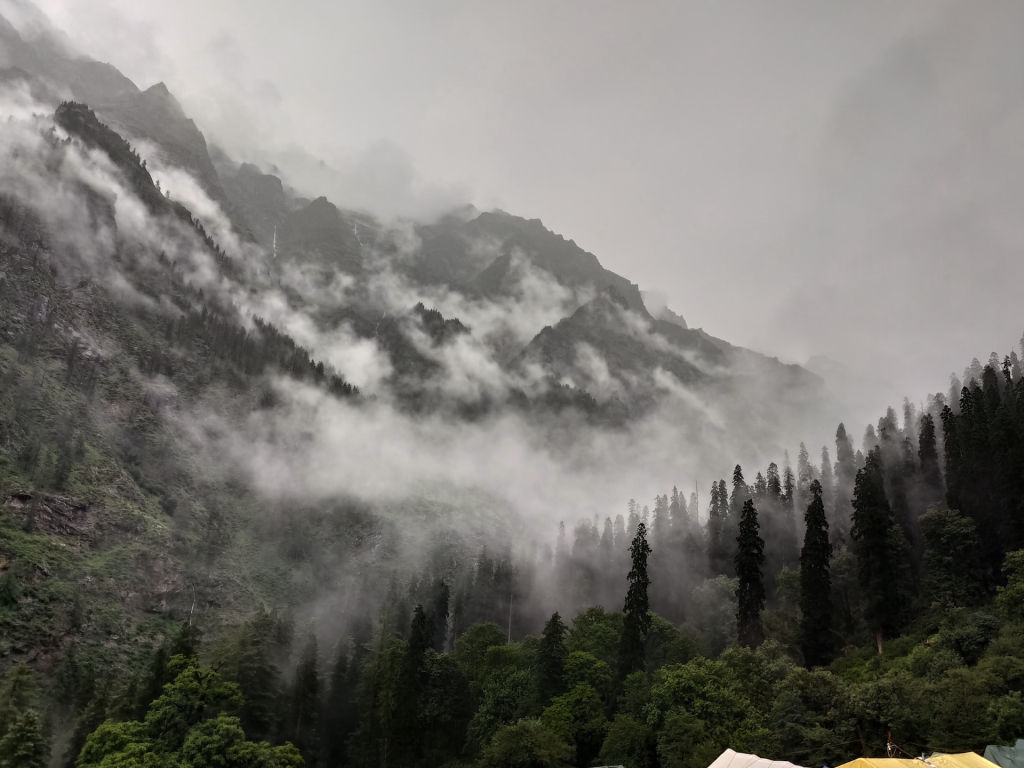
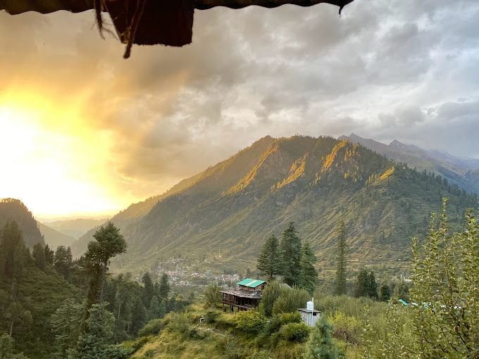
Nature near Tosh, Himachal Pradesh
21 km from Tosh
The nearest town, for stays, food and fuel.
Sara Umga Pass is a formidable high-altitude mountain pass in Himachal Pradesh connecting the lush Tosh Valley in the Parvati region to the stark Chandra Valley of Lahaul. Resting in the shadow of imposing Himalayan peaks like Deo Tibba and Indrasan, it attracts seasoned mountaineers and alpine trekkers looking for a challenging glacier crossing. Travelers seek out the pass to experience untouched glacial terrain, vast moraines, and the dramatic transition between two distinct mountain worlds.
Getting there
By road
- From ToshNearest town4 hr 5 min · 174 km
- From Chandigarh7 hr · 335 km
- From Ludhiana7 hr 30 min · 375 km
- From Amritsar9 hr 35 min · 486 km
Typical drive times without traffic. Stations and airports from OLA Maps; distances and typical drive times from OpenStreetMap (© OpenStreetMap contributors); notes from creators' Reels.
About Sara Umga Pass
Written with AI from map data and general knowledge. Check prices and timings locally before you go.
About Sara Umga Pass
Rising high in the towering Pir Panjal and Greater Himalayan ranges of Himachal Pradesh, Sara Umga Pass stands as one of the most adventurous crossover routes in Northern India. Resting at an elevation close to five thousand meters, the pass bridges the gap between the lush upper reaches of the Tosh glacial valley and the wind-swept, stark terrain of the Chandra Valley in Lahaul.
Because of its remote location and demanding terrain, the pass is not a conventional tourist spot. It is an alpine expedition destination sought by experienced high-altitude hikers, mountaineers, and wilderness explorers. Towering over the route are monumental Himalayan massifs, most notably Deo Tibba and Indrasan, whose sheer rock faces and hanging glaciers dominate the skyline throughout the journey.
The Landscape and Route
The approach toward Sara Umga Pass presents a spectacular study in geographical contrasts. Starting from the lower Tosh Valley near traditional timber villages, the trail winds upward through dense conifer forests, roaring rivers, and vibrant meadows dotted with alpine wildflowers. As you push deeper toward the head of the valley, the greenery recedes, giving way to boulder-strewn moraines, lateral ridges, and the massive ice fields of the Tosh Glacier.
Crossing the pass itself demands navigating steep snow slopes, unstable scree, and crevassed glacial stretches. Reaching the high saddle of Sara Umga Pass reveals panoramic vistas that stretch across the jagged ridges of the Kullu region to the south and the barren desert ranges of Lahaul and Spiti on the other side. Descending into the Chandra watershed exposes hikers to the stark, windswept grandeur of the trans-Himalayan landscape.
Read more
Best Time to Visit Sara Umga Pass
Due to extreme alpine weather and heavy winter snowfall, Sara Umga Pass remains accessible only during a narrow window in the summer and early autumn. The ideal time to attempt the crossing typically spans from late June through September, depending on the year's snowpack and seasonal weather.
During July and August, the lower valleys are lush and warm, though the region receives monsoonal precipitation that can make river crossings challenging and lower paths slippery. By late August and September, the rains recede, offering clearer skies, stabilized snow conditions, and crisp mountain views. As October approaches, temperatures plummet rapidly, snowstorms become frequent, and sub-zero conditions close the pass for the remainder of the year.
How to Reach the Trailhead
The journey to Sara Umga Pass typically begins from the Parvati Valley side, using the village of Tosh or nearby Barsheni as the primary jumping-off point. Barsheni is accessible by mountain roads from Bhuntar, which serves as the nearest transport hub in the Kullu Valley. Bhuntar hosts a domestic airport with flights connecting to major northern cities, while broad-gauge rail connectivity ends much further south at Chandigarh and Pathankot.
From Bhuntar, regular public buses, shared cabs, and private taxis traverse the winding roads along the Parvati River, passing through popular settlements like Kasol and Manikaran before reaching Barsheni. Beyond Barsheni, a motorable track leads up to Tosh village, after which all further travel toward Sara Umga Pass must be completed on foot with self-sufficient expedition arrangements.
Preparation and Trekking Tips
Attempting Sara Umga Pass requires thorough preparation, exceptional physical fitness, and prior experience with high-altitude alpine expeditions. The trail involves prolonged days of walking on uneven moraines, crossing icy streams, and navigating snow-covered crevasses where basic mountaineering gear like ropes, crampons, and ice axes may be needed depending on seasonal conditions.
Proper acclimatization is vital to prevent acute mountain sickness, as camp locations remain at substantial elevations for multiple consecutive nights. Travelers must travel with licensed local mountain guides and support teams who understand route navigation across dynamic glaciers. Self-sufficiency is paramount, so carrying robust four-season expedition tents, sub-zero sleeping bags, and comprehensive first-aid medical supplies is essential.
Where to Stay and Places Nearby
Along the high trail to Sara Umga Pass, there are no permanent settlements, guesthouses, or established tourist lodges. Accommodation during the crossing consists entirely of self-pitched wilderness camping on designated glacial meadows and moraine terraces. Leaving no trace and carrying all non-biodegradable waste back down is mandatory to safeguard these pristine, fragile ecosystems.
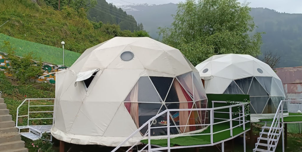
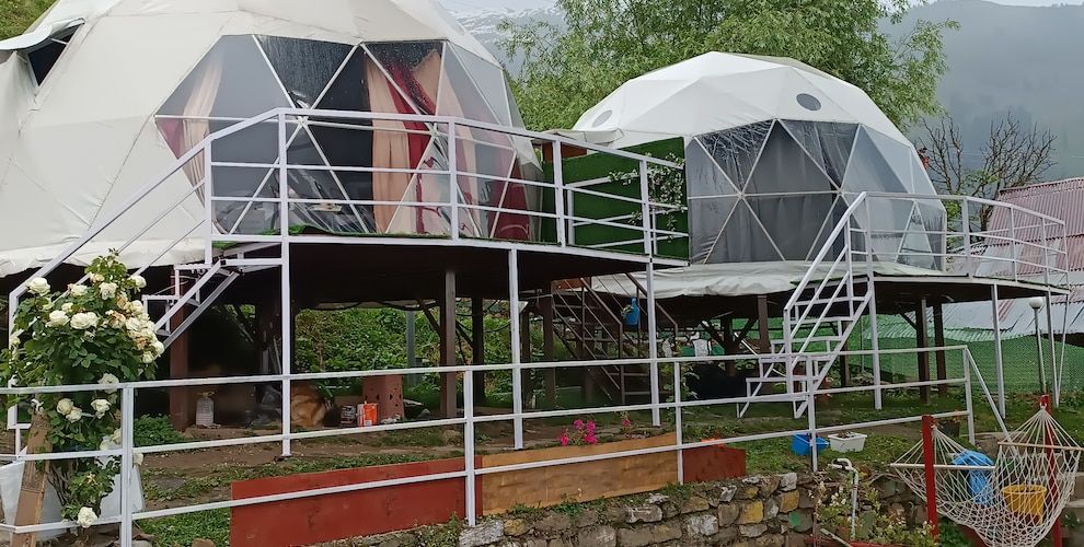
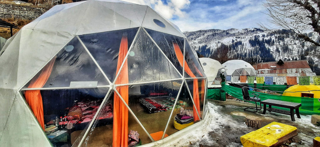
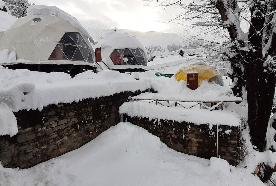
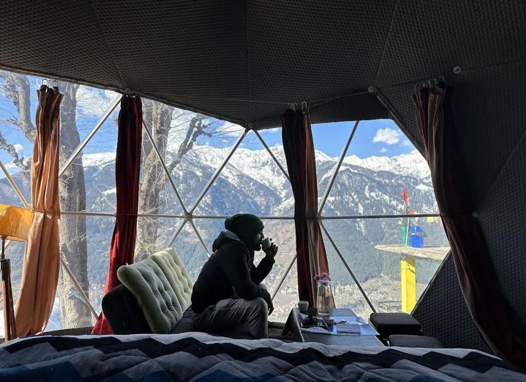
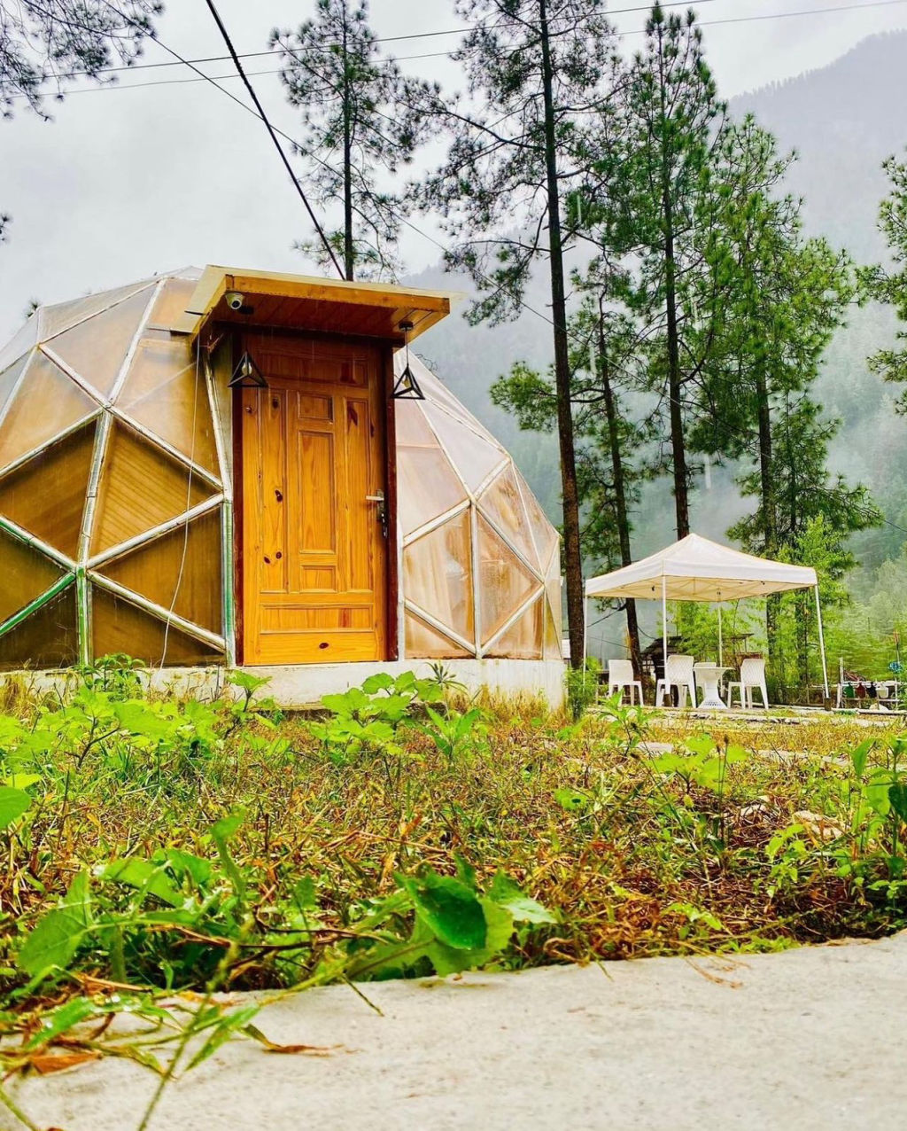
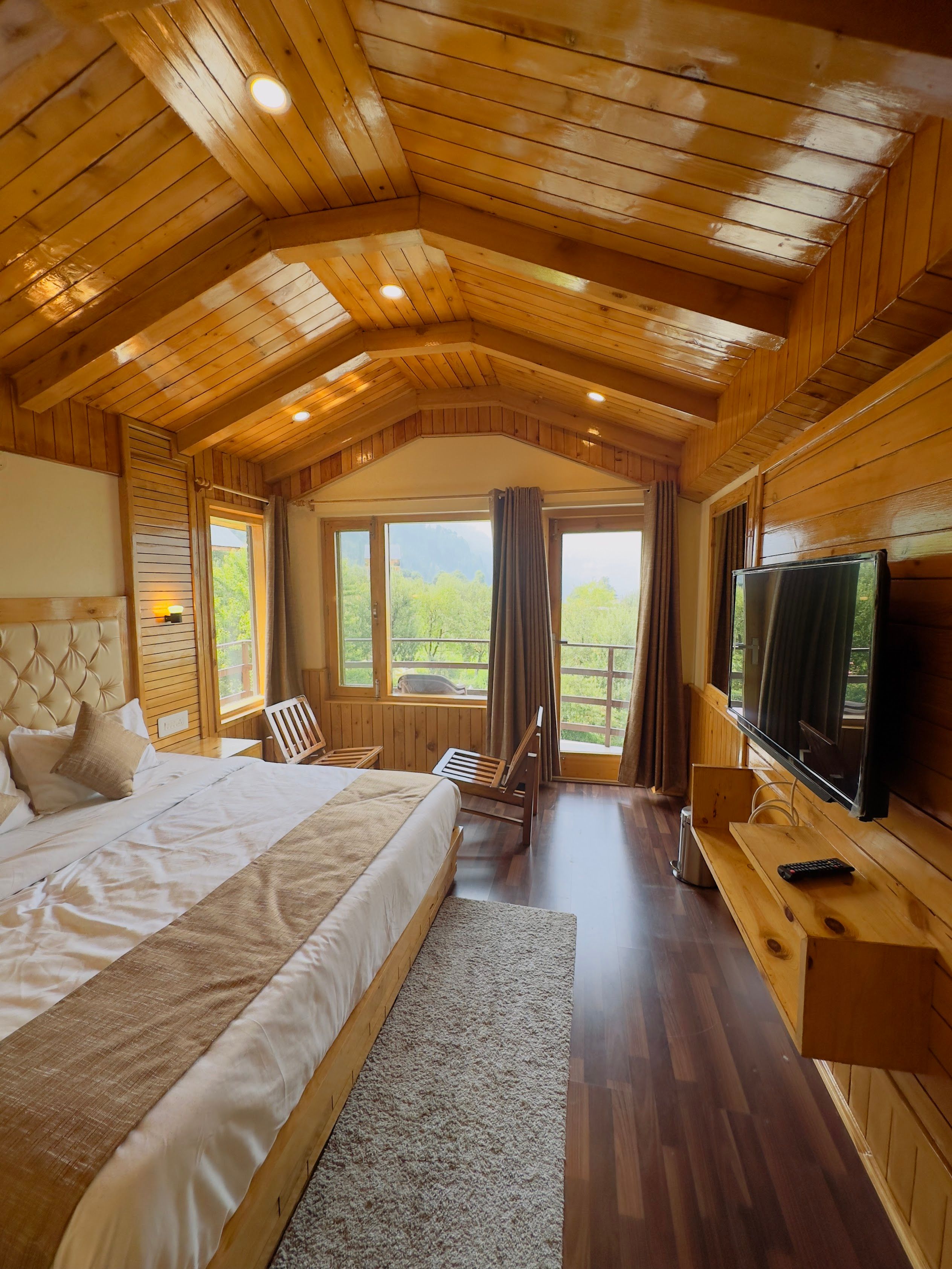
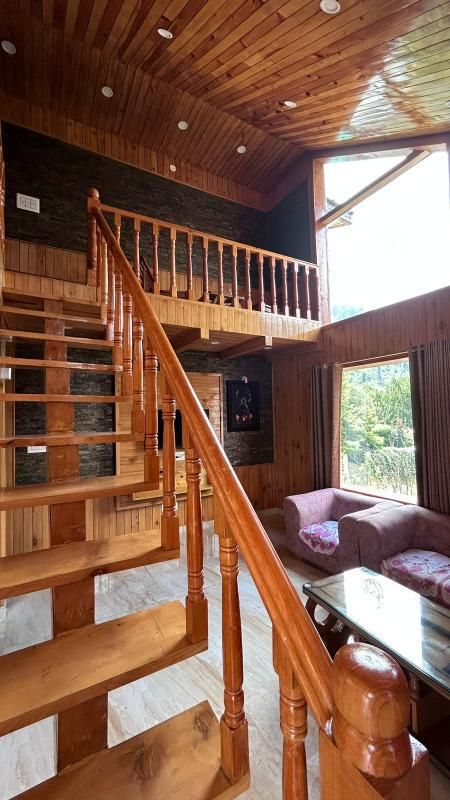
Before and after undertaking the crossing, trekkers can find comfortable resting options down in the Parvati Valley. Villages such as Tosh, Pulga, and the surrounding hamlets offer homestays, rustic guesthouses, and scenic riverside camps. You can explore and book suitable riverside campsites, traditional village homestays, and quiet nature retreats through HireACamp to acclimatize comfortably before your journey or to unwind after finishing the trek.
Frequently asked questions
Where is Sara Umga Pass located?
Sara Umga Pass is situated in Himachal Pradesh, connecting the upper Tosh Valley in the Parvati region to the Chandra Valley in Lahaul.
How difficult is the trek to Sara Umga Pass?
The route is considered a strenuous, high-altitude alpine trek that requires technical glacier navigation, high fitness levels, and prior mountaineering experience.
Which prominent peaks are visible from the pass?
The trek offers close, commanding views of monumental peaks including Deo Tibba and Indrasan, alongside surrounding glaciated massifs.
What is the best time of year to trek Sara Umga Pass?
The crossing is generally undertaken between late June and September, with late August to mid-September typically providing the most stable weather and clear skies.
Where can travelers stay when visiting the area?
On the trail itself, only self-supported wilderness camping is possible, while comfortable homestays and scenic campsites in nearby villages like Tosh and Pulga can be found on HireACamp.
Where you'll be
Himachal Pradesh · 10 stays nearby shown with prices
Stays near Sara Umga Pass
Book a place to stay close by
More places near Sara Umga Pass
Within 20 km
Built from 0 Instagram posts by 0 creators. Every tip links back to the post it came from, and where creators disagree we show both sides.






