
Indrasan
Peak near Jagatsukh
18 km from Jagatsukh
The nearest town, for stays, food and fuel.
Indrasan is a formidable mountain peak rising to over six thousand metres in the Pir Panjal range of Himachal Pradesh. Positioned near the divide between the Kullu Valley and Lahaul, it is revered in local folklore as the throne of Indra, king of the heavens. High-altitude mountaineers and avid trekkers travel towards its base to witness its sheer granite walls, hanging glaciers, and the raw alpine landscapes of the upper Himalayas.
Getting there
By road
- From JagatsukhNearest town1 hr 30 min · 74 km
- From Chandigarh6 hr 45 min · 323 km
- From Ludhiana7 hr 20 min · 364 km
- From Amritsar9 hr 20 min · 475 km
Typical drive times without traffic. Stations and airports from OLA Maps; distances and typical drive times from OpenStreetMap (© OpenStreetMap contributors); notes from creators' Reels.
About Indrasan
Written with AI from map data and general knowledge. Check prices and timings locally before you go.
About Indrasan Peak
Indrasan stands as one of the highest and most challenging summits in the Pir Panjal mountain range of Himachal Pradesh. Reaching an elevation of 6,221 metres above sea level, the mountain commands the skyline above the upper Kullu Valley and borders the rugged terrain of Spiti and Lahaul. The name translates locally to the seat of Indra, the Hindu deity of storms and celestial skies, lending the mountain spiritual significance among regional mountain communities.
From a mountaineering perspective, Indrasan is known for its steep rock faces, sharp ridges, and massive hanging ice fields. It is rarely tackled as a casual hike; rather, the summit requires technical climbing skills, expedition-level endurance, and route-fixing equipment. For recreational trekkers and nature lovers, approaching the high-altitude meadows, moraines, and glacial basins around its base offers an immersive look into wild Himalayan topography without stepping onto the technical summit ridges.
Trekking and viewpoints around Indrasan
While reaching the top of Indrasan is strictly the domain of experienced mountaineering teams, the valleys leading toward it feature some of the most dramatic trekking trails in northern India. Many trekkers experience views of Indrasan while traversing the popular Hampta Pass, which sits just west of the massif. From Hampta Pass and the high meadows of Balu Ka Ghera, the jagged form of Indrasan dominates the southeastern horizon, especially during clear morning hours.
Another historic approach toward the foot of Indrasan begins near the heritage village of Jagatsukh in the Kullu Valley. This trail follows the course of the Jagatsukh Nala through dense pine forests, crossing boulder beds and reaching alpine pastures at Khanol and Chhika before climbing toward the high-altitude glacial basin of Deo Tibba and Indrasan. Trekkers venturing along these routes encounter emerald glacial tarns, icy stream crossings, and close-up views of ancient moraines.
Read more
Best time to visit
The window for exploring the high valleys and approaches to Indrasan is relatively short due to intense winter weather and Himalayan monsoon storms. The ideal period spans from mid-June to early July, and again from September through October. During early summer, the snow begins to melt off the lower passes, exposing high meadows filled with alpine wildflowers, though stream crossings can run high with glacial meltwater.
By September, the monsoon rains recede from the lower valleys, ushering in crisp, stable weather and exceptional visibility. Autumn offers deep blue skies, sharp contrast on the snow-capped summits, and relatively predictable trail conditions. From late November through May, the mountain is engulfed in heavy snow and freezing temperatures, rendering high trails and technical routes inaccessible to all but winter expedition climbers.
How to reach the Indrasan region
The primary gateway for accessing trails that lead toward Indrasan is the Kullu and Manali area of Himachal Pradesh. Travellers typically reach Manali by road from major transit hubs such as Chandigarh or New Delhi, using overnight buses or private taxis across well-connected national highways. The closest airport is at Bhuntar, situated in the lower Kullu Valley, from where local cabs and buses travel up the valley.
From Manali, trailheads for different approaches branch out into neighbouring valleys. Trekkers heading via the Jagatsukh route take a short drive to the village of Jagatsukh before beginning their walk on foot. Those approaching the vicinity via the Hampta route typically drive toward Jobra to commence hiking. Because the terrain beyond the roads is strictly wilderness, all forward travel requires self-supported trekking on foot.
Planning and safety tips for high-altitude trekking
Travelling in the immediate catchment of Indrasan involves spending multiple days at significant elevations above three thousand metres. Acute Mountain Sickness is a real risk, making steady acclimatisation essential. Schedule rest days on your way up, stay adequately hydrated, and never ignore early symptoms of headache, nausea, or dizziness. Descending to a lower altitude is the safest and most effective response if symptoms persist.
Weather conditions around high peaks can shift rapidly without warning. Sunny mornings frequently give way to afternoon cloud cover, sleet, or sudden temperature drops. Pack sturdy three-season layering, including thermal base layers, a fleece, a windproof and waterproof outer shell, and warm headwear. Wear broken-in trekking boots with good ankle support to navigate loose moraine and talus. Always travel with certified mountain guides who carry emergency communication equipment and first-aid kits, and check current local weather bulletins before setting out.
Places to visit nearby
The valleys surrounding Indrasan are packed with cultural landmarks and striking natural viewpoints. Down in the valley, the village of Jagatsukh offers a window into traditional Western Himalayan timber and stone architecture, along with centuries-old stone temples dedicated to regional deities. Nearby, Vashisht village is renowned for its natural sulfur hot water springs and the historic Guru Vashishtha Temple, providing a comforting stop after mountain journeys.
To the west, Rohtang Pass and its popular Zero Point marker offer dramatic vistas overlooking the barren mountains of Lahaul. Further south and east across the ridges lies the Parvati Valley, where quiet hamlets like Pulga and the thermal spring trail at Kheerganga draw hikers seeking serene forest paths and expansive pine-fringed valleys. Exploring these destinations provides a balanced experience of mountain culture and high-altitude wilderness.
Where to stay around Indrasan
Because Indrasan itself is situated in deep backcountry, overnight stays along its climbing and trekking routes consist entirely of self-contained tented camps set up on alpine pastures. Trekkers carry their own camping gear or travel with organized trekking parties that pitch tents in established clearing sites like Chhika or Balu Ka Ghera, taking care to follow leave-no-trace ethics.
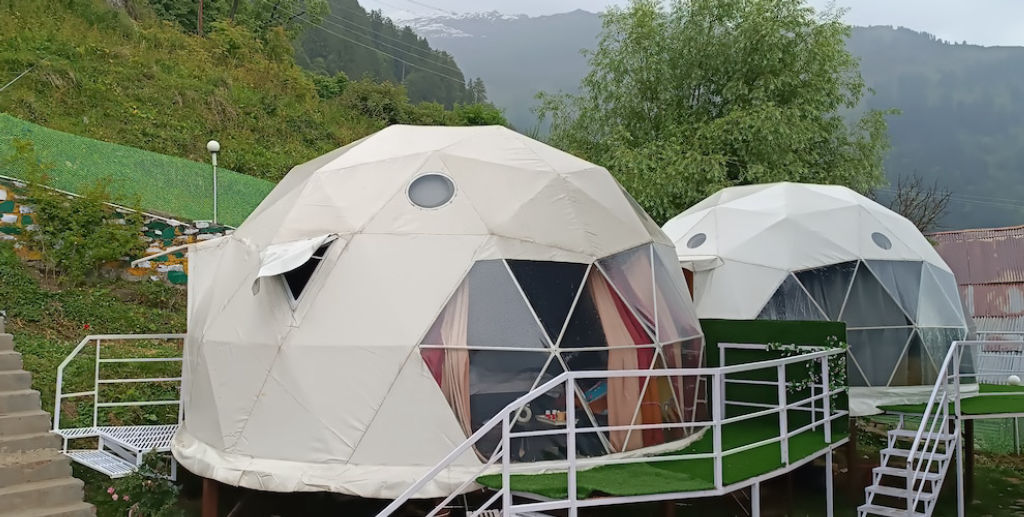
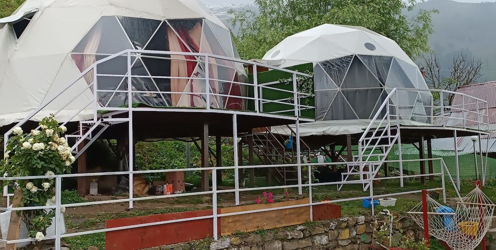
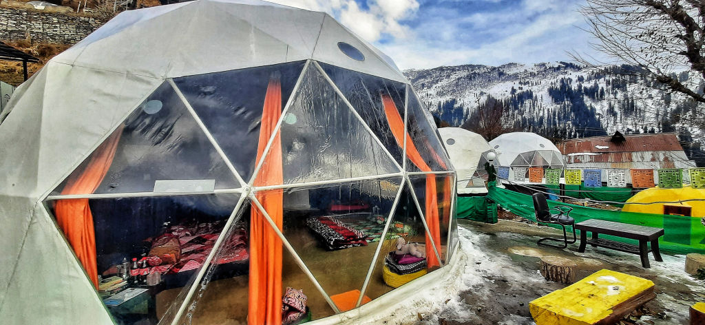
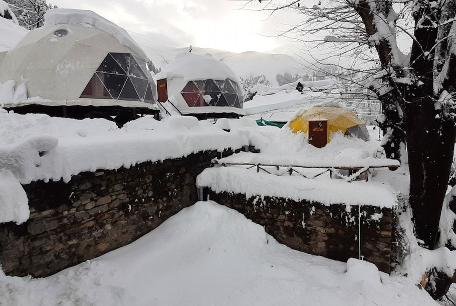
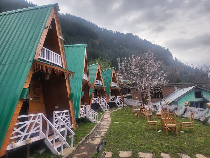
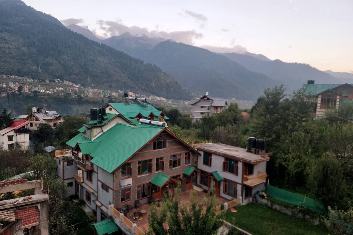
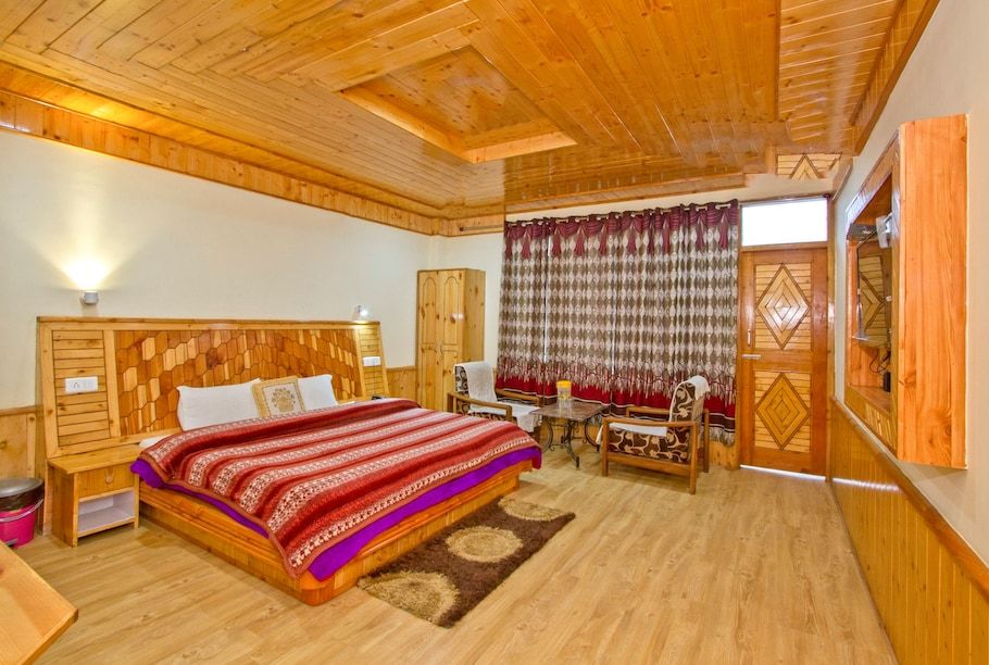
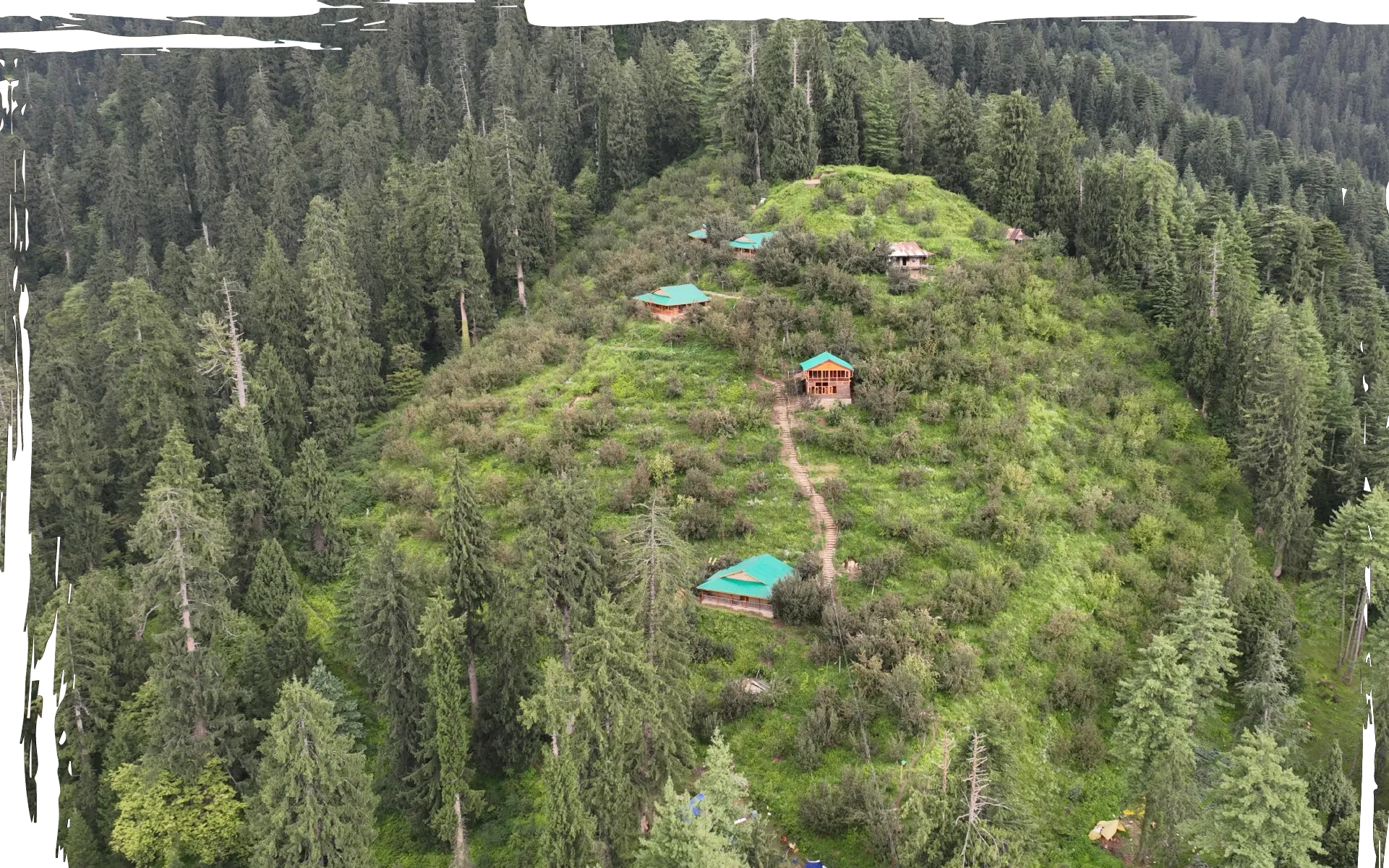
For comfortable base accommodation before and after your trek, the nearby settlements around Jagatsukh, Manali, and the upper Kullu Valley offer a diverse range of lodging. You can discover riverside campsites, village homestays, and tranquil mountain retreats in these areas on HireACamp, allowing you to rest and prepare comfortably before setting off into the high mountains.
Frequently asked questions
Can beginners climb Indrasan peak?
No, the summit of Indrasan is an advanced technical climb that requires specialized mountaineering skills, icecraft, and expedition experience. However, beginners and intermediate hikers in good physical condition can trek to viewpoints and base meadows around the peak.
How high is Indrasan?
Indrasan reaches an elevation of approximately 6,221 metres above sea level, making it one of the prominent high points in the Pir Panjal range of Himachal Pradesh.
Which trek gives the best views of Indrasan?
The Hampta Pass trek offers some of the most accessible and striking vantage points of the Indrasan massif. The route leading up from Jagatsukh toward Deo Tibba base also provides spectacular close-up views of the peak.
Do I need permits to trek near Indrasan?
Technical summit expeditions require formal clearances from mountaineering bodies and local authorities. For standard trekking routes in the surrounding valleys, forest department check-ins and local environmental permits may apply, so check requirements locally before departing.
What is the best season to trek in this area?
The optimal months are late June to early July for early summer greenery, and September through October for clear skies, crisp views, and minimal rainfall.
Where you'll be
Himachal Pradesh, HP · 12 stays nearby shown with prices
Stays near Indrasan
Book a place to stay close by
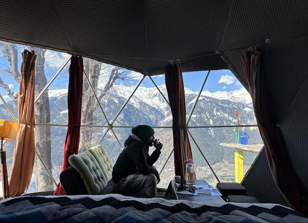
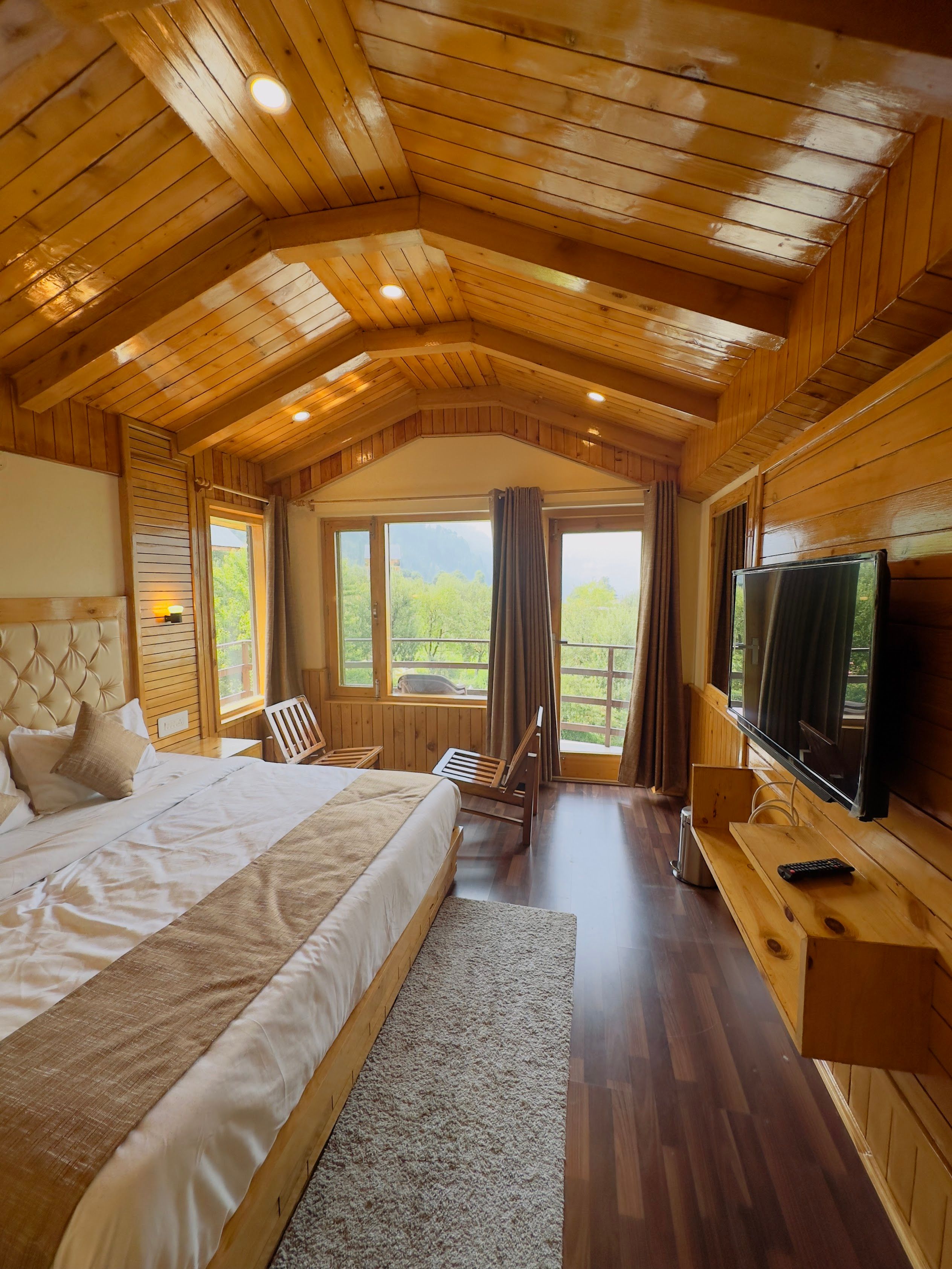
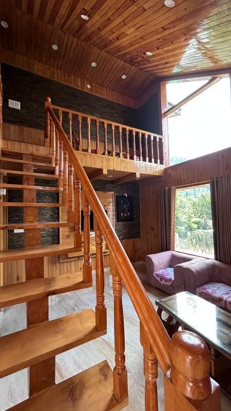
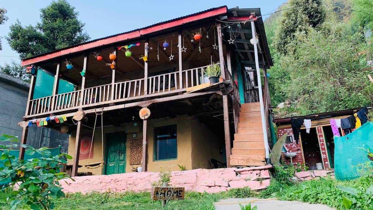
More places near Indrasan
Within 20 km


Built from 0 Instagram posts by 0 creators. Every tip links back to the post it came from, and where creators disagree we show both sides.






