
Bhagirathi River
Riverside spot near Gangotri, Uttarakhand
13 km from Gangotri
The nearest town, for stays, food and fuel.
The Bhagirathi River is one of the primary headstreams of the sacred Ganga, originating in the high Garhwal Himalayas of Uttarakhand. Flowing past rugged alpine slopes and the sacred settlement of Gangotri, the river draws travellers and pilgrims seeking raw mountain landscapes, spiritual significance, and gateway access to classic Himalayan treks. Its clear, icy waters cut dramatic gorges through granite valleys surrounded by some of India's most prominent peaks.
Getting there
By road
- From Dehradun5 hr 20 min · 235 km
- From Chandigarh8 hr 35 min · 427 km
- From New Delhi8 hr 50 min · 465 km
Typical drive times without traffic. Stations and airports from OLA Maps; distances and typical drive times from OpenStreetMap (© OpenStreetMap contributors); notes from creators' Reels.
About Bhagirathi River
Written with AI from map data and general knowledge. Check prices and timings locally before you go.
The Origin and Significance of the Bhagirathi River
The Bhagirathi River holds deep historical and spiritual prominence across India as the revered source stream of the Ganga. Rising from the snout of the Gangotri Glacier at Gaumukh, deep within the Greater Himalayas, the torrent gathers volume from melting snowfields and glacial tributaries before cascading down through high-altitude terrain in the Uttarkashi district.
According to ancient legends, King Bhagiratha underwent intense penance to bring the celestial river down to earth to cleanse the souls of his ancestors, giving the river its name. Today, the river serves as both a spiritual lifeline and an ecological anchor for the upper Garhwal valley. As it journeys downstream past Gangotri, Dharali, and Uttarkashi, it eventually merges with the Alaknanda at Devprayag to formally form the Ganga. For travellers visiting the upper reaches near Gangotri, standing beside the roaring, silty turquoise current offers an immediate sense of the river's sheer geological power.
Landscape and Terrain Along the River
The terrain surrounding the Bhagirathi River in this region is defined by steep glacial valleys, stark granite cliffs, and high alpine meadows. Upstream near Gangotri, the riverbed is choked with massive polished boulders and sharp drop-offs, carved over millennia by the torrential force of glacial meltwater.
Flanking the valley are some of the most celebrated peaks in the Garhwal range, including Mount Shivling, Thalay Sagar, and the Bhagirathi group of summits. The higher elevations are dominated by moraine, scree, and sparse juniper scrub, which gradually transition into dense woodlands of deodar cedar, pine, and birch as the river flows south toward lower valleys like Harsil. Wildlife in the surrounding basin includes the Himalayan blue sheep, musk deer, snow leopards, and various high-altitude birds, preserved largely within the bounds of Gangotri National Park.
Read more
Best Time to Visit the Bhagirathi River
The upper reaches of the Bhagirathi River are typically accessible from late spring to early autumn, aligning with the opening dates of the Gangotri shrine. May and June mark the primary summer window, bringing pleasant daytime temperatures, clear trails, and roaring river currents fueled by thawing snowpacks higher in the mountains.
Monsoon arrives in July and lingers through August, bringing heavy rainfall across Uttarakhand. During these months, the river swells drastically and the surrounding hills become prone to landslides, making travel along mountain roads unpredictable and risky. Visiting during the monsoon requires checking weather warnings and road advisories locally.
Autumn, from September to October, is considered by many outdoor enthusiasts to be the finest time to visit. Rainfall ceases, the skies turn remarkably clear, daytime temperatures remain moderate, and the river water clears up to reveal a pale, icy blue tone. By November, extreme winter conditions set in, temperatures plunge well below freezing, and heavy snowfall leads to road closures across the upper valley until the following spring.
Things to Do Along the Bhagirathi River
Spending time along the Bhagirathi offers a combination of quiet reflection, photography, and rigorous trekking. Taking peaceful walks along designated river banks near Gangotri lets visitors experience the sensory power of the rushing water against the backdrop of pine-covered slopes and snow-dusted ridges.
For trekkers, the river serves as the direct highway to some of the country's most renowned routes. The trail leading upstream to Gaumukh and the high-altitude meadow of Tapovan follows the course of the Bhagirathi, offering unobstructed perspectives of the Gangotri Glacier and Mount Shivling. Other challenging routes, such as the trek toward the emerald waters of Kedartal or traverses over Auden's Col, branch out from valleys fed by the river's tributaries.
Nature photography is particularly rewarding in the early morning and late afternoon, when low sun angles illuminate the river canyon and surrounding Himalayan faces. Simply finding a safe, elevated vantage point above the torrent to sit and observe the landscape remains one of the most memorable experiences here.
How to Reach the Bhagirathi River
Reaching the upper Bhagirathi valley requires a scenic journey through the Garhwal hills of Uttarakhand. The primary gateway town for the upper stretches is Gangotri, located along the national highway network. The closest major railheads are situated at Rishikesh, Haridwar, and Dehradun, all located several hours to the south.
From these rail hubs or from the nearest airport at Dehradun, travellers can hire private taxis or take state transport and shared passenger vehicles toward Uttarkashi, continuing onwards through Bhatwari and Harsil to reach the river near Gangotri. The road follows the winding contour of the Bhagirathi for much of the journey, offering spectacular canyon views throughout.
Because mountain driving conditions depend heavily on weather and ongoing road maintenance, it is wise to break the journey with an overnight halt in towns like Uttarkashi or Harsil rather than completing the drive in a single stretch. Check local road status updates before departure, especially following heavy weather.
Places to Visit Nearby
The region around the upper Bhagirathi is filled with prominent natural landmarks and spiritual centres. Just upstream along the traditional pilgrimage route stands Gangotri Temple, dedicated to the river goddess and serving as one of the four shrines of the Chota Char Dham circuit. Within walking distance from the town, Gauri Kund and Surya Kund showcase dramatic waterfalls where the river plunges through deep rock fissures.
Downstream lies the peaceful Harsil valley, celebrated for its apple orchards, wooden village architecture, and sweeping pine forests through which the Bhagirathi meanders gently. For mountaineers and experienced trekkers, routes into the Gangotri National Park lead to iconic sites like the Gomukh Tapovan trail, the pristine waters of Kedartal, and view corridors for peaks such as Thalay Sagar and Mount Shivling. Further across the high ridges, though separated by demanding alpine passes, lie the historic shrines of Kedarnath and Bhairavnath.
Tips for Your Visit
Given the high altitude along this stretch of the Bhagirathi River, acclimatisation is essential. Visitors arriving directly from lower plains should spend a day resting at moderate altitudes before embarking on strenuous walking or trekking along the river valley.
The river current is extremely swift, powerful, and frigid throughout the year. Avoid standing on wet boulders directly at the water's edge, as smooth granite surfaces can be deceptively slippery, and unexpected water surges can occur from upstream glacial activity. Always heed warning signs posted along the banks.
Pack layered clothing, including a windproof jacket, thermal inner wear, sturdy footwear with good grip, and sun protection. High mountain weather can shift quickly from bright sunshine to icy squalls. Carry a refillable water bottle and ensure all non-biodegradable waste is carried back out of the river basin to keep this fragile alpine ecosystem clean.
Where to Stay Near Bhagirathi River
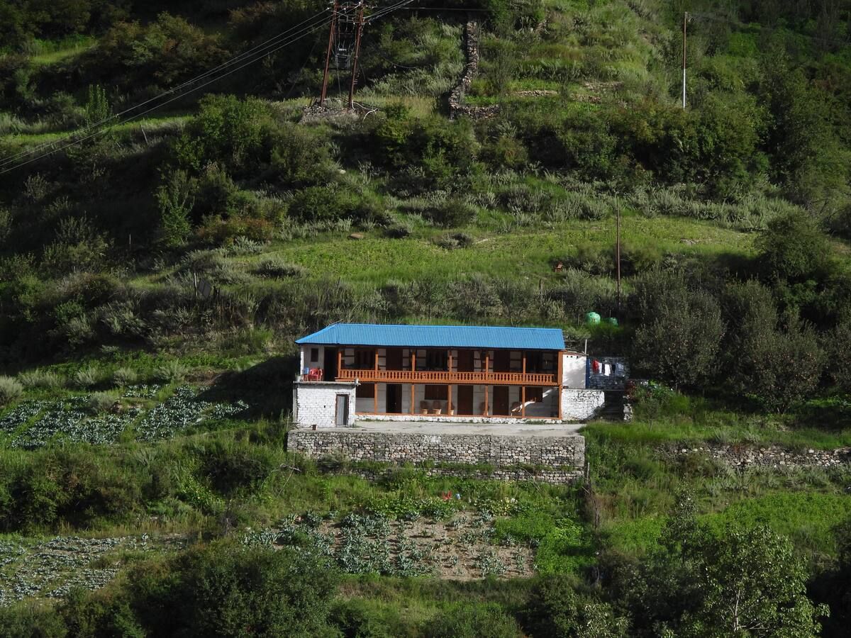
Accommodations near the upper Bhagirathi range from simple guesthouses and pilgrim dormitories in Gangotri to riverside camps, homestays, and boutique cottages nestled in the nearby Harsil valley. Staying downstream in villages like Harsil or Dharali allows travellers to sleep at slightly lower, milder elevations while remaining within easy reach of the riverbanks.
During the peak pilgrimage and trekking season between May and June, accommodation across the valley fills quickly, so making arrangements well ahead of your journey is recommended. You can browse and book verified camps, scenic homestays, and independent outdoor stays in the region on HireACamp.
Frequently asked questions
Where does the Bhagirathi River originate?
The Bhagirathi River originates at Gaumukh, which is the snout of the Gangotri Glacier located in the Uttarkashi district of Uttarakhand.
Can you swim or bathe directly in the Bhagirathi River near Gangotri?
Swimming is unsafe due to the river's freezing temperatures, heavy glacial silt, and fierce, unpredictable currents. Pilgrims typically perform ritual dips only in safe, designated ghats where sturdy safety railings and shallow steps are installed.
What is the relationship between the Bhagirathi River and the Ganga?
The Bhagirathi is considered the principal source stream of the Ganga in traditional Hindu belief and geography. It flows southward until it converges with the Alaknanda River at Devprayag, after which the joined stream takes the formal name of the Ganga.
Are special permits required to visit the Bhagirathi River?
Visiting riverside spots around Gangotri town and Harsil valley does not require a permit. However, if you plan to venture upstream beyond Gangotri toward Gaumukh and Tapovan, an entry permit from the Gangotri National Park authorities is mandatory.
When is the road along the upper Bhagirathi River open to visitors?
The road to the upper valley around Gangotri is generally open from late April or May through October or early November. During the winter months, heavy snowfall closes the higher stretches of the highway.
Where you'll be
Kalyan · 1 stay nearby shown with prices
Stays near Bhagirathi River
Book a place to stay close by
More places near Bhagirathi River
Within 20 km
Built from 0 Instagram posts by 0 creators. Every tip links back to the post it came from, and where creators disagree we show both sides.






