
Thalay Sagar
Peak near Kedarnath, Uttarakhand
15 km from Kedarnath
The nearest town, for stays, food and fuel.
Thalay Sagar is a striking, pyramid-shaped mountain standing at an elevation of 6,904 metres in the Garhwal Himalayas of Uttarakhand. Towering directly south of the emerald waters of Kedar Tal, it is famous for its steep granite walls and dramatic vertical profile. Trekkers and mountaineers journey to the region to experience the rugged high-altitude wilderness and witness one of the most imposing peaks in the Gangotri group.
Getting there
By road
- From Dehradun5 hr 20 min · 235 km
- From KedarnathNearest town7 hr 35 min · 327 km
- From Chandigarh8 hr 35 min · 427 km
- From New Delhi8 hr 50 min · 465 km
Typical drive times without traffic. Stations and airports from OLA Maps; distances and typical drive times from OpenStreetMap (© OpenStreetMap contributors); notes from creators' Reels.
About Thalay Sagar
Written with AI from map data and general knowledge. Check prices and timings locally before you go.
The dramatic profile of Thalay Sagar
Thalay Sagar is one of the most visually arresting mountains in northern India. Rising to an altitude of 6,904 metres, the mountain features sheer rock faces, a distinctive icy summit, and a vertical northern cliff that has challenged technical mountaineers from across the globe for decades. Unlike gentler, rounded massifs, its stark, pyramid-like silhouette cuts boldly into the skyline, commanding attention from every angle in the surrounding high basin.
The peak stands directly at the head of the Kedar Bamak Glacier, with the pristine glacial lake Kedar Tal resting quietly at its northern base. For wilderness travellers, standing by the lakeshore and watching the early morning sunlight illuminate the golden granite buttresses of Thalay Sagar is a standout Himalayan spectacle. The cirque around the mountain also shelters adjacent summits like Bhrigupanth, creating an immense amphitheatre of rock, ice, and moraine.
Trekking towards Thalay Sagar and Kedar Tal
While ascending to the summit of Thalay Sagar is an expedition reserved exclusively for elite technical mountaineers, seeing the peak in all its grandeur is possible through the challenging Kedar Tal trek. The walking trail begins in the temple town of Gangotri and ascends steeply through groves of birch and bhojpatra trees before entering the rocky high-altitude desert.
The route passes through intermediary camps like Bhoj Kharak and Kedar Kharak, leading hikers across narrow ridges, loose scree gullies, and extensive fields of glacial boulders. It is known locally as one of the steeper and more physically demanding short treks in Uttarakhand due to the rapid gain in altitude over a relatively short distance. Upon reaching the lake basin at Kedar Tal, trekkers are rewarded with an intimate, unhindered view of Thalay Sagar rising almost straight up from the water's edge.
Read more
Best time to view Thalay Sagar
The high elevation of the region means that visits are restricted to two distinct weather windows each year. The pre-monsoon season runs from late May through late June. During these early summer weeks, days are generally sunny and crisp, snow along the passes begins to melt, and the lower valleys come alive with alpine greenery.
The post-monsoon period between September and October is widely considered the finest time for clear mountain views. Once the seasonal rains retreat, atmospheric haze disappears, leaving behind exceptionally sharp skies that offer remarkable photographic opportunities of Thalay Sagar and its neighbouring ridges. Daytime temperatures remain pleasant on the trail, though nights turn freezing. The monsoon months of July and August bring severe rain and the risk of landslides along access roads, while deep winter snow closes the trails from November through to the spring thaw.
How to reach Thalay Sagar
A trip towards Thalay Sagar begins with a scenic overland journey into the upper reaches of Uttarakhand. Gangotri serves as the primary roadhead for the area and can be reached from major transit hubs such as Dehradun, Haridwar, and Rishikesh. Travellers typically follow the winding highway along the Bhagirathi River through Chamba, Uttarkashi, and Harsil before reaching the road's end at Gangotri.
From Gangotri, the remainder of the journey is completed entirely on foot. The trail veers away from the main river valley, climbing steeply alongside the Kedar Ganga stream. Because the trail gains significant elevation quickly, it is wise to break the drive with overnight stops in lower towns like Uttarkashi or Harsil to allow your body to begin adjusting to the thinner mountain air before starting the trek.
Places to explore around the region
The valleys surrounding Thalay Sagar hold some of Uttarakhand's most famous natural and cultural landmarks. Gangotri Temple, situated at the base of the trekking route, is an ancient pilgrimage centre dedicated to the river goddess Ganga, drawing visitors from across the subcontinent. Down valley, the picturesque Harsil Valley is known for its wide riverbeds, dense deodar forests, and traditional wooden village architecture.
On the opposite side of the main valley, another famous route leads to the Gomukh glacier snout and the meadows of Tapovan, where travellers can gaze up at the iconic spire of Mount Shivling. For those recovering from long days of trail walking, the natural sulphur hot springs at Gangnani provide a soothing roadside stop on the descent towards Uttarkashi. Further south, the high alpine meadows of Dayara Bugyal offer rolling grass fields and expansive panoramic views across the Garhwal range.
Essential gear and preparation
Visiting the remote high country around Thalay Sagar requires serious physical preparation and careful packing. Because the trek reaches elevations exceeding 4,700 metres at Kedar Tal, acute mountain sickness is a key concern. Trekkers should maintain a steady, unhurried pace, stay hydrated with plenty of water, and allow adequate time for acclimatisation during the ascent.
A dependable multi-layer clothing system is essential for dealing with fluctuating temperatures. Pack moisture-wicking baselayers, insulating fleece or wool midlayers, a heavy down jacket, and a waterproof shell jacket to handle wind and sudden precipitation. Sturdy, well-broken-in trekking boots with good ankle support are crucial for navigating boulder fields and scree slopes. Travellers should also carry high-grade sleeping gear rated for sub-zero conditions, sun protection, water purification tablets, and a comprehensive basic medical kit.
Where to stay near Thalay Sagar
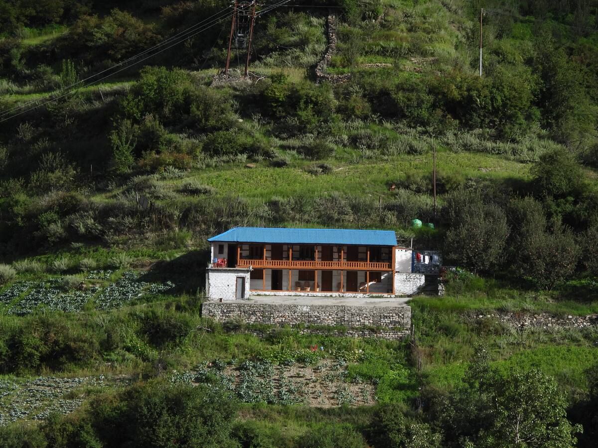
Accommodation choices depend heavily on how close you are to the peak. In the lower valleys, settlements such as Gangotri, Harsil, and Dharali offer a mix of guesthouses, ashrams, and local homestays. These options provide warm bedding, hot meals, and a convenient base to rest before setting out on the trail.
Once you step beyond the roadhead at Gangotri and head towards Thalay Sagar, there are no permanent lodges or structures. All accommodation along the route is entirely tent-based, requiring self-supported camping at designated sites like Bhoj Kharak, Kedar Kharak, and near the lake at Kedar Tal. If you are looking for comfortable homestays, scenic riverside camps, and experiential outdoor stays throughout Uttarakhand and the Bhagirathi valley, a variety of options can be found on HireACamp.
Frequently asked questions
Where is Thalay Sagar located?
Thalay Sagar is located in the Garhwal Himalayas within the Uttarkashi district of Uttarakhand, India, rising directly south of the glacial lake Kedar Tal.
What is the elevation of Thalay Sagar?
Thalay Sagar stands at an elevation of 6,904 metres (22,651 feet) above sea level, making it one of the most prominent peaks in the Gangotri group.
Can beginners trek to see Thalay Sagar?
The trek to Kedar Tal, which offers direct views of Thalay Sagar, is considered challenging due to steep ascents, rough boulder fields, and rapid altitude gain. It is best suited for trekkers with prior high-altitude experience and strong fitness.
When is the best time to see Thalay Sagar?
The most favourable windows for visiting are the pre-monsoon months of May and June, and the autumn months of September and October, when skies are clear and mountain views are sharpest.
Where can I stay during a trip to Thalay Sagar?
You can stay in guesthouses and homestays in Gangotri or Harsil valley before the trek, while the route itself requires high-altitude camping in tents. Homestays and camps across the surrounding region can be found on HireACamp.
Where you'll be
1 stay nearby shown with prices
Stays near Thalay Sagar
Book a place to stay close by
More places near Thalay Sagar
Within 20 km
Built from 0 Instagram posts by 0 creators. Every tip links back to the post it came from, and where creators disagree we show both sides.






