
Mount Shivling
Adventure & Outdoors near Gangotri, Uttarakhand
1.7 km from Gangotri
The nearest town, for stays, food and fuel.
Mount Shivling is one of the most striking and revered peaks in the Garhwal Himalayas of Uttarakhand, rising dramatically above the Gangotri Glacier and the alpine meadow of Tapovan. Its dramatic pyramid shape and sheer granite walls draw high-altitude trekkers, mountaineers, and pilgrims from across the world. Trekkers journey toward its base via the holy town of Gangotri to witness its sharp ridgelines, glacial surrounds, and close proximity to the source of the Bhagirathi River.
Getting there
By road
- From GangotriNearest town1 min · 300 m
- From Dehradun5 hr 15 min · 235 km
- From Chandigarh8 hr 35 min · 427 km
- From New Delhi8 hr 50 min · 465 km
Typical drive times without traffic. Stations and airports from OLA Maps; distances and typical drive times from OpenStreetMap (© OpenStreetMap contributors); notes from creators' Reels.
About Mount Shivling
Written with AI from map data and general knowledge. Check prices and timings locally before you go.
About Mount Shivling and its landscape
Mount Shivling rises to an elevation of 6,543 metres in the northern reaches of Uttarakhand, standing as a sentinel near the snout of the Gangotri Glacier. Often likened to a towering obelisk of rock and ice, its dramatic symmetry commands the entire skyline above the high-altitude meadow of Tapovan. Unlike many Himalayan massifs that form long, rolling ridges, Mount Shivling projects upwards in a near-vertical pyramid, with sharp arêtes and sheer granite faces that make it one of the most distinctive profiles in the Indian Himalayas.
The mountain holds deep spiritual significance in Hindu tradition, revered as a sacred manifestation of Lord Shiva. Geographically, it forms the dramatic backdrop to Gaumukh, the terminus of the Gangotri Glacier and the recognized source of the Bhagirathi River. The terrain surrounding the mountain shifts from rugged river valleys thick with pine, deodar, and birch trees around Gangotri to stark, high-altitude moraines, hanging glaciers, and expansive alpine meadows where wild mountain goats and blue sheep graze against barren rock faces.
Trekking towards Mount Shivling
Reaching viewpoints near Mount Shivling requires an adventurous multi-day trek that traditionally begins at the temple town of Gangotri. From the settlement, the trail leads up the scenic Bhagirathi gorge, winding through forest clearings at Chirbasa, named for its scattered pine groves, before climbing toward Bhojbasa, where the last native birch trees grow. Along this route, the Bhagirathi group of peaks stays in view, leading trekkers closer to the expansive snout of the Gangotri Glacier.
From Bhojbasa, the trail pushes forward across scree and boulder fields toward Gaumukh, before initiating a steep and demanding ascent over glacial moraine to the high meadow of Tapovan. Tapovan sits directly beneath the northwest face of Mount Shivling. Arriving on this broad grassy plain rewards trekkers with an unobstructed, close-up perspective of the entire peak from its rocky base to its snowy summit, alongside sweeping vistas of surrounding peaks like Meru and the Bhagirathi sisters.
Read more
Best time to visit Mount Shivling
The trekking and mountaineering seasons for the Mount Shivling region are tightly defined by Himalayan weather systems, typically falling into two primary windows: pre-monsoon and post-monsoon. The pre-monsoon window spans from mid-May through June. During these late spring and early summer weeks, trails begin clearing of heavy winter snow, high alpine streams flow steadily, and days are generally clear, though unpredictable weather and lingering snow patches on high ridges remain common.
The post-monsoon period runs from September to late October. This is widely considered the clearest season for viewing Mount Shivling, as the monsoon rains wash away atmospheric haze, leaving crisp blue skies and striking contrasts between the dark rock and fresh snow. Temperatures drop significantly during this period, especially after nightfall when sub-zero conditions are standard across the higher camps. By November, deep winter sets in, closing upper trails under heavy snowfall and sub-arctic conditions that persist until late spring.
Preparation and altitude considerations
Because trails approaching Mount Shivling ascend well beyond 4,000 metres above sea level, acclimatization and physical preparation are essential. Altitude sickness is a real risk for those who climb too rapidly from the lower valleys. Trekkers should allow sufficient time to acclimatize at intermediate elevations such as Gangotri and Bhojbasa before attempting the steep ascent across the glacier to Tapovan.
Hydration, a gradual walking pace, and attention to bodily warning signs like persistent headaches or dizziness are crucial. The weather in this high-altitude glacial basin can change within an hour, shifting from bright sunshine to dense cloud cover, bone-chilling winds, or sudden snowfall. Sturdy trekking boots with solid ankle support, warm layered clothing including windproof and waterproof outer shells, thermal innerwear, sun protection, and a reliable trekking pole are mandatory gear for navigating the steep scree and loose rocks.
How to reach the Mount Shivling base
The overland journey to Mount Shivling begins by traveling through the Garhwal district to the roadhead at Gangotri. Gangotri is connected by mountain roads to major transit hubs in Uttarakhand, including Uttarkashi, Rishikesh, Haridwar, and Dehradun. Road journeys through this part of the state involve winding mountain highways along the Bhagirathi River, where travel times can vary depending on seasonal road conditions, rainfall, and local traffic.
Once at Gangotri, all further travel toward Mount Shivling is on foot. Entering the protected park boundaries surrounding the glacier requires official permissions and documentation. Trekkers should check locally in Gangotri or Uttarkashi for current entry procedures, trail guidelines, and mandatory registration requirements before starting their walk.
Places to visit around Mount Shivling
The wider region surrounding Mount Shivling and Gangotri features several historic, cultural, and natural attractions. Down the valley from Gangotri lies Harsil Valley, situated roughly 18 km away in direct distance. Known for its quiet apple orchards, traditional wooden houses, and peaceful deodar groves alongside the river, Harsil serves as a restful base before or after high-elevation treks.
Further down the highway, travelers often stop at Gangnani, about 25 km away, renowned for its natural thermal water springs where pilgrims soak after cold Himalayan journeys. Across the wider Garhwal expanse stand towering alpine summits such as Bandarpunch, as well as the high-altitude meadow trails of Dayara Bugyal, celebrated for their sprawling green pastures during the summer months and wide horizons of snow-capped Himalayan ridges.
Where to stay near Mount Shivling
While venturing on the upper trail toward Mount Shivling and Tapovan, overnight stays are strictly confined to basic trekking camps, trail huts, or self-supported alpine campsites arranged along the path. These high-elevation sites offer rudimentary shelter amid raw mountain conditions, where self-sufficiency and respect for the fragile alpine environment are paramount.
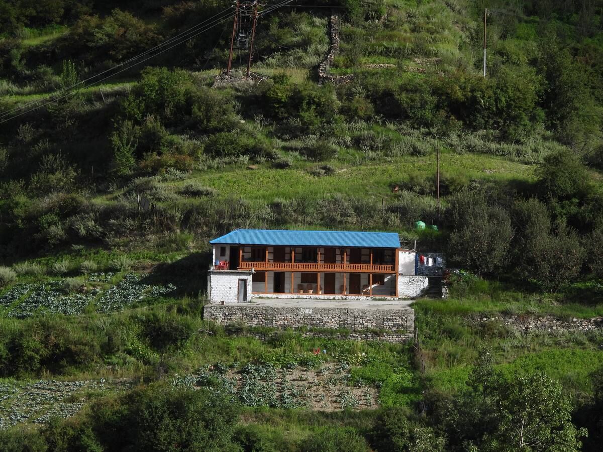
For comfortable lodging before beginning the trek, travellers rely on the roadhead at Gangotri or the nearby settlements down the valley, including Harsil and Dharali. A variety of riverside camps, traditional village homestays, and guesthouses can be found across the valley on HireACamp, giving you peaceful options to rest, acclimatize, and organize your gear before heading into the high wilderness.
Frequently asked questions
Can beginners trek to Mount Shivling?
The trek toward the base of Mount Shivling at Tapovan is demanding and best suited for trekkers with prior high-altitude experience. It involves steep climbs over loose moraine, crossing glacial boulder fields, and navigating elevations above 4,000 metres.
Where is the best view of Mount Shivling?
The most celebrated vantage point is the high meadow of Tapovan, which sits directly beneath the peak's soaring northwest face and offers clear, close-range perspectives of its pyramid structure.
Do I need permits to visit Mount Shivling?
Yes, visiting the area around Mount Shivling requires entering protected national park territory beyond Gangotri. Trekkers must check locally in Gangotri or Uttarkashi to obtain the necessary trail permits and verify current forest department regulations.
What is the best month to see Mount Shivling?
The clearer weather windows occur between late May and June, and from September through October, with September and October typically offering the crispest views and lowest chance of cloud cover.
Where you'll be
30°52′49.48″N 79°03′48.49″E, Gangotri · 1 stay nearby shown with prices
Stays near Mount Shivling
Book a place to stay close by
More places near Mount Shivling
Within 20 km

Built from 0 Instagram posts by 0 creators. Every tip links back to the post it came from, and where creators disagree we show both sides.






