
Mullayangiri Peak
Peak near Kemmannugundi, Karnataka
400 m from Kemmannugundi
The nearest town, for stays, food and fuel.
Mullayangiri Peak rises high above the rolling ridgelines of the Western Ghats near Tarikere, offering sweeping views across endless shola forests and coffee estates. It is celebrated for its cool mountain winds, dramatic cloud formations, and rewarding hiking paths that traverse some of Karnataka's most scenic terrain. Travellers and trekkers journey here to experience the expansive panoramas, fresh highland air, and peaceful wilderness of the Malnad region.
Getting there
By road
- From KemmannugundiNearest town1 min · 300 m
- From Mangaluru4 hr 40 min · 209 km
- From Mysuru5 hr 25 min · 217 km
- From Bengaluru5 hr 50 min · 253 km
Typical drive times without traffic. Stations and airports from OLA Maps; distances and typical drive times from OpenStreetMap (© OpenStreetMap contributors); notes from creators' Reels.
About Mullayangiri Peak
Written with AI from map data and general knowledge. Check prices and timings locally before you go.
The Landscape and Setting of Mullayangiri Peak
The slopes around Mullayangiri Peak form an integral part of the Baba Budan Giri mountain range, known for its undulating grassland plateaus and steep rocky escarpments. Set in the lush Malnad belt near Tarikere, the environment here is defined by classic high-altitude shola-grassland ecosystems. Dense montane evergreen forest patches cling to sheltered valleys, while broad expanses of coarse montane grasses cover the exposed slopes, resilient against the strong regional winds.
From these elevated heights, the vantage point looks out over endless waves of green mountains that gently give way to the lower Deccan plains. The surrounding valleys are crisscrossed by mountain streams that swell during the rainy months. Because of its height, the peak regularly intercepts passing cloud banks, enveloping the area in dense cool mist that can obscure and reveal breathtaking vistas in a matter of seconds. The biodiversity here is rich, supporting endemic bird species, wild ungulates, and a distinctive variety of mountain flora adapted to life on precipitous ridgelines.
Trekking and Exploring Mullayangiri Peak
Walking the trails along Mullayangiri Peak is one of the highlight outdoor experiences in the region. Paths wind over rocky paths, open meadows, and narrow ridge tracks where hikers are flanked by deep drops and open sky on either side. Depending on where you start, the climb can vary from a leisurely stroll across the crest to a demanding uphill trek through rugged terrain that tests your stamina.
As you ascend, the ambient sounds of forest birds and rustling mountain grass provide a quiet rhythm to the walk. Sunrise and sunset are particularly magical hours along the crest, when the sky shifts through hues of gold and amber while shadows stretch across the lower valleys. Hikers often use the network of ridge tracks to explore connected promontories, pausing at wind-buffeted lookouts to take in the sheer scale of the landscape below.
Read more
Best Time to Visit Mullayangiri Peak
The weather across the higher reaches of the peak shifts significantly across the year, creating distinct experiences from one season to the next. The months from October through February are considered by many to be the best time to visit. During this post-monsoon and winter window, rainfall tapers off, the air turns crisp and clear, and daytime temperatures remain comfortable for walking, while early mornings and evenings can get delightfully chilly.
From June to September, the southwest monsoon brings heavy downpours, strong gales, and thick cloud cover to the peak. The entire landscape turns brilliant shades of green during this period, with seasonal waterfalls cascading down the cliffs. While beautiful, monsoon visits require extra care because walking paths can become slippery and visibility is often limited to a few paces. March through May brings warmer days, though temperatures remain significantly lower than in the plains, making the peak a welcome refuge from summer heat.
How to Reach Mullayangiri Peak
The peak is accessed via the road networks surrounding Tarikere and Chikkamagaluru, which are the main transit towns serving the highland ranges. Tarikere is situated along key rail and highway routes connecting central and coastal Karnataka. From Tarikere or nearby towns, the drive heads into the hills along winding ghat roads that climb through dense coffee plantations and forest corridors.
Travellers arriving by air can fly into Mangaluru or Bengaluru. From either city, road journeys wind through the scenic countryside of south-central Karnataka before ascending the Western Ghats. State transport buses run regular services to the base towns, while local taxis and rental vehicles are popular options for tackling the steep gradients and hairpin turns that lead up toward the ridge.
Tips for Your Visit to Mullayangiri Peak
Weather conditions on the peak can change rapidly, with bright sunshine quickly giving way to dense fog or sudden gusts of wind. Wearing layered clothing is wise so you can adapt easily as temperatures rise and fall. A lightweight windbreaker or rain jacket is useful throughout the year, especially if you plan to be out on the open ridges in the early morning or late afternoon.
Sturdy walking shoes with reliable tread are essential for negotiating the loose gravel, exposed rock, and dirt trails. Carry sufficient drinking water and light snacks, as amenities on the upper slopes are minimal. Remember that this high-altitude ecosystem is ecologically fragile, so visitors are expected to carry all trash back down to the towns for proper disposal and stay on established tracks to prevent trail erosion.
Places to Visit Near Mullayangiri Peak
The wider hill district surrounding Mullayangiri Peak is packed with natural viewpoints, tranquil lakes, and dense wildlife habitats. Nearby viewpoints like Z Point provide sharp cliffside panoramas that overlook deep forested gorges. A short drive away, the Baba Budan Hills offer sacred heritage sites and extensive hiking routes through historical coffee country.
Nature lovers can also journey toward Bhadra Wildlife Sanctuary, an expansive reserve teeming with tigers, leopards, elephants, and abundant birdlife in the river basin below the hills. Other worthwhile detours include quiet highland bodies of water like Galikere Lake and Hirekolale Lake, as well as picturesque mountain cascades such as Manikyadhara Falls and the path toward Jhari Waterfalls. Exploring Jagar Valley and the peaks of Dada Pahad and Deviramma Betta rounds out a comprehensive mountain circuit.
Where to Stay Near Mullayangiri Peak
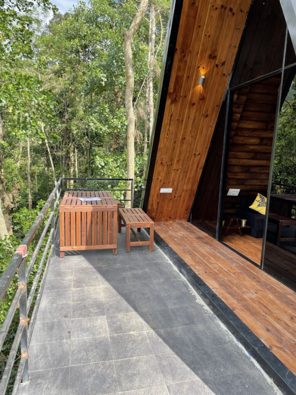
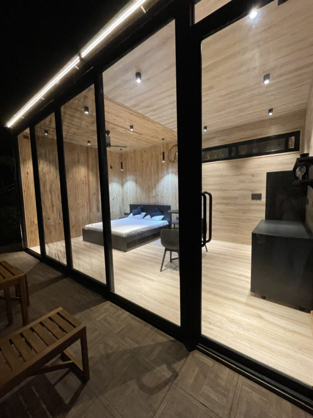
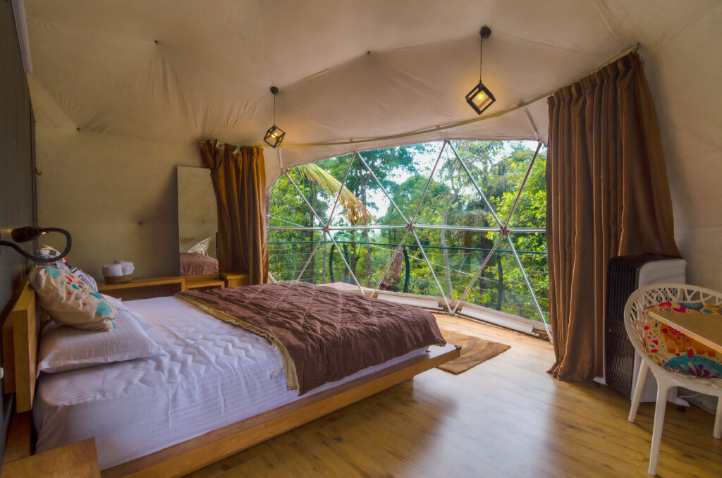
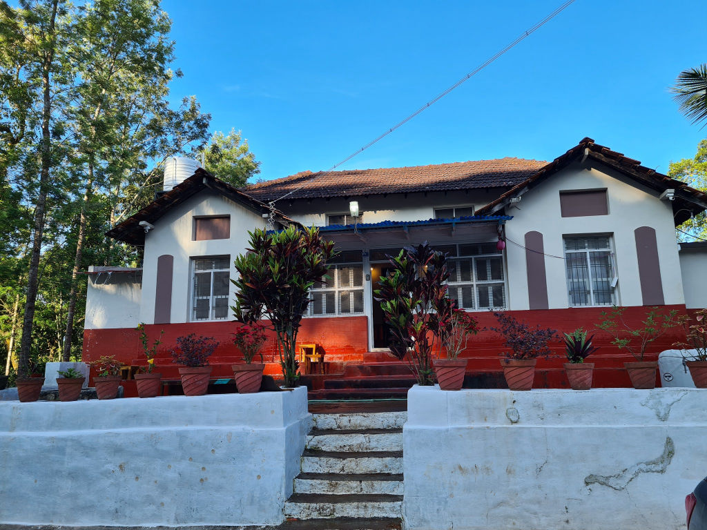
The region around the peak and the surrounding foothills offers a diverse selection of accommodations tailored for nature enthusiasts and mountain travellers. Staying amid the sprawling coffee estates lets you wake up to the sound of songbirds and the aroma of blossoming plants, while hilltop properties provide direct access to hiking paths and sunset viewpoints.
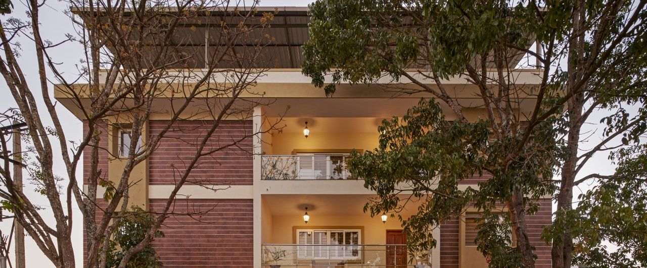
You can easily discover and book rustic campsites, tranquil homestays, and outdoor getaways in the hills surrounding Mullayangiri Peak on HireACamp. These stays offer authentic local hospitality, traditional Malnad cuisine, and a peaceful base from which to explore the surrounding peaks.
Frequently asked questions
Is Mullayangiri Peak suitable for beginners to trek?
Yes, many trails around the peak are accessible for individuals with basic fitness, though the gradients and wind on open ridges can be physically demanding. Taking a steady pace and wearing proper walking shoes makes the climb enjoyable.
What should I wear when visiting Mullayangiri Peak?
Wear comfortable walking clothes and sturdy shoes with good grip. Bring along a warm layer or windbreaker, as temperatures on the high ridge can drop quickly when the mist rolls in.
Can I visit Mullayangiri Peak during the monsoon?
You can visit during the monsoon to see lush green landscapes and cloud formations, but you should expect heavy rainfall, slippery tracks, and strong winds. It is important to proceed with extra caution during wet conditions.
What is the closest base town to the peak?
Tarikere and Chikkamagaluru are the primary base towns, providing transport links, fuel stations, and road access into the surrounding mountain ranges.
Are there food and water facilities at the top of the peak?
Facilities directly on the ridges are very basic or absent, so it is best to carry your own water bottle, light refreshments, and personal essentials before heading up.
Where you'll be
Tarikere, KA · 5 stays nearby shown with prices
Stays near Mullayangiri Peak
Book a place to stay close by
More places near Mullayangiri Peak
Within 20 km


Built from 0 Instagram posts by 0 creators. Every tip links back to the post it came from, and where creators disagree we show both sides.






