
Nargu Range
Peak near Lapas, Himachal Pradesh
8.9 km from Lapas
The nearest town, for stays, food and fuel.
The Nargu Range is an elevated mountain ridge located across the Mandi and Kullu districts of Himachal Pradesh. Rising above dense temperate forests and glacial streams, it offers rugged terrain for trekking, wildlife exploration, and high-altitude hiking. Travellers visit to experience peaceful alpine meadows, sweeping Himalayan views, and natural landscapes far from crowded tourist hubs.
Getting there
By road
- From LapasNearest town3 hr 40 min · 151 km
- From Chandigarh5 hr 40 min · 250 km
- From Ludhiana6 hr 5 min · 279 km
- From Amritsar8 hr 10 min · 390 km
Typical drive times without traffic. Stations and airports from OLA Maps; distances and typical drive times from OpenStreetMap (© OpenStreetMap contributors); notes from creators' Reels.
About Nargu Range
Written with AI from map data and general knowledge. Check prices and timings locally before you go.
About Nargu Range
The Nargu Range forms a prominent geographical ridge in central Himachal Pradesh, separating the Uhl river basin from the broader valleys of Kullu. Rising through thick belts of cedar, pine, and Himalayan oak, the slopes eventually give way to open alpine meadows and rocky crests. This elevation gradient creates diverse habitats that support an array of mountain wildlife and act as a crucial watershed for the region's streams.
Historically, the ridgeline has served as a pathway for nomadic herders and inter-valley travellers. Traditional Pahari villages dot the lower foothills, where terraced farming and stone-and-timber architecture blend into the mountain slopes. Visiting the range offers a rare sense of quiet, punctuated only by forest breezes and the occasional call of high-altitude birds.
Trekking and Outdoor Activities
The trails across the Nargu Range are primarily ancient walking routes, shepherd paths, and forest tracks rather than commercial hiking corridors. Trekkers can embark on day hikes through shaded woodland or take on multi-day traverses across high mountain saddles. The ascents can be steep and demanding, requiring good stamina, but the high ridgelines reward walkers with panoramic vistas of the Dhauladhar and Pir Panjal ranges.
Birdwatching and wildlife spotting are also prominent activities in the area. Because the adjoining slopes are heavily forested and protected, patient observers may spot species such as the Himalayan monal, western tragopan, barking deer, and black bear. The peaceful trails provide uninterrupted natural settings for photography and quiet reflection.
Read more
Best Time to Visit Nargu Range
The ideal time to explore the Nargu Range depends on the outdoor experience you want. Spring and early summer, from April to June, provide the most comfortable weather for walking and camping. During these months, daytime temperatures are mild, wild blooms colour the meadows, and higher trails clear of winter snow.
The monsoon arrives between July and early September, bringing substantial rainfall that can make mountain trails slick and prone to rockfalls. Travel during the peak rains requires extra caution. Autumn, extending from late September through November, is widely regarded as the finest season for clear mountain views. The post-monsoon atmosphere is crisp, providing sharp visibility across the surrounding peaks. Winter, from December to March, brings sub-zero nights and thick snow to the upper ridges, creating dramatic snowy landscapes best suited for seasoned cold-weather hikers.
How to Reach Nargu Range
Access to the Nargu Range typically begins from base towns in Mandi or Kangra district, with Barot Valley and Joginder Nagar serving as common gateway points. Well-established roads connect these valley towns to major hubs like Mandi, Palampur, and Dharamshala. From the valley floors, winding mountain roads lead up toward various trailhead villages.
The nearest railhead with broad-gauge connectivity is Pathankot, from where a narrow-gauge hill train links to Joginder Nagar. For flight travel, Kangra Airport at Gaggal and Kullu Airport at Bhuntar are the nearest domestic terminals. From either airport or railway station, private cabs and local state transport buses run into the foothills. Due to winding hill roads, road journeys can take longer than expected, so starting early in the day is recommended.
Places to Visit Nearby
The landscape surrounding the Nargu Range features a variety of outdoor and cultural landmarks. The adjoining Nargu Wildlife Sanctuary encompasses dense forest tracts that shelter rare Himalayan fauna and diverse flora. Nearby, Lapas Waterfalls offers a secluded natural spot where cool mountain streams tumble over mossy boulders into quiet pools.
Further up the ridges lies Bhubbu Pass, a historic pedestrian pass connecting the Uhl Valley with Kullu that attracts enthusiastic trekkers. Travellers interested in regional heritage can visit local sacred sites, including Dev Pashakot Mandir, Simsa Mata Temple, and Baba Balakrupi Mandir, which reflect the deep-rooted faith and traditional wooden craftsmanship of the hill communities. A short trip away is Macchial Lake, a serene water body steeped in local lore and revered by residents.
Tips for Your Visit
Because the upper sections of the Nargu Range are remote and lack commercial infrastructure, self-sufficiency is vital. Wear sturdy trekking boots with good tread to manage loose soil, wet stones, and steep ascents. Carry a layered clothing system including a windproof shell and warm fleece, as mountain temperatures can fall rapidly once the sun dips behind the ridges.
Always carry adequate drinking water, purification tablets, and energy snacks, as there are no shops along the high paths. Cellular reception can be weak or entirely absent along the crests, making it wise to download offline maps before setting out or to hire a local guide. Finally, practice leave-no-trace ethics by packing out all rubbish to safeguard the fragile Himalayan ecosystem.
Where to Stay
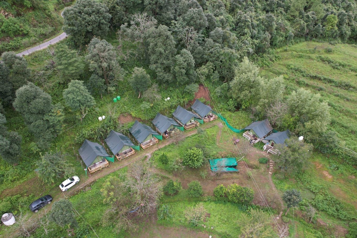
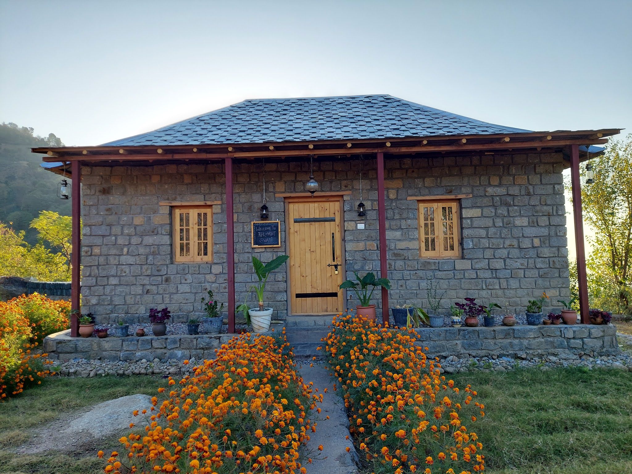
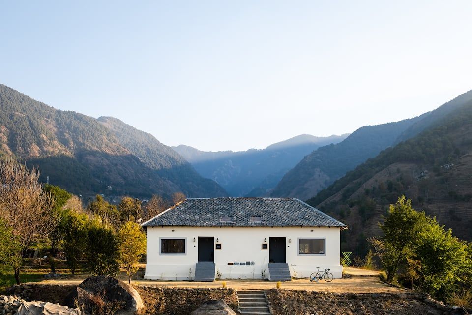
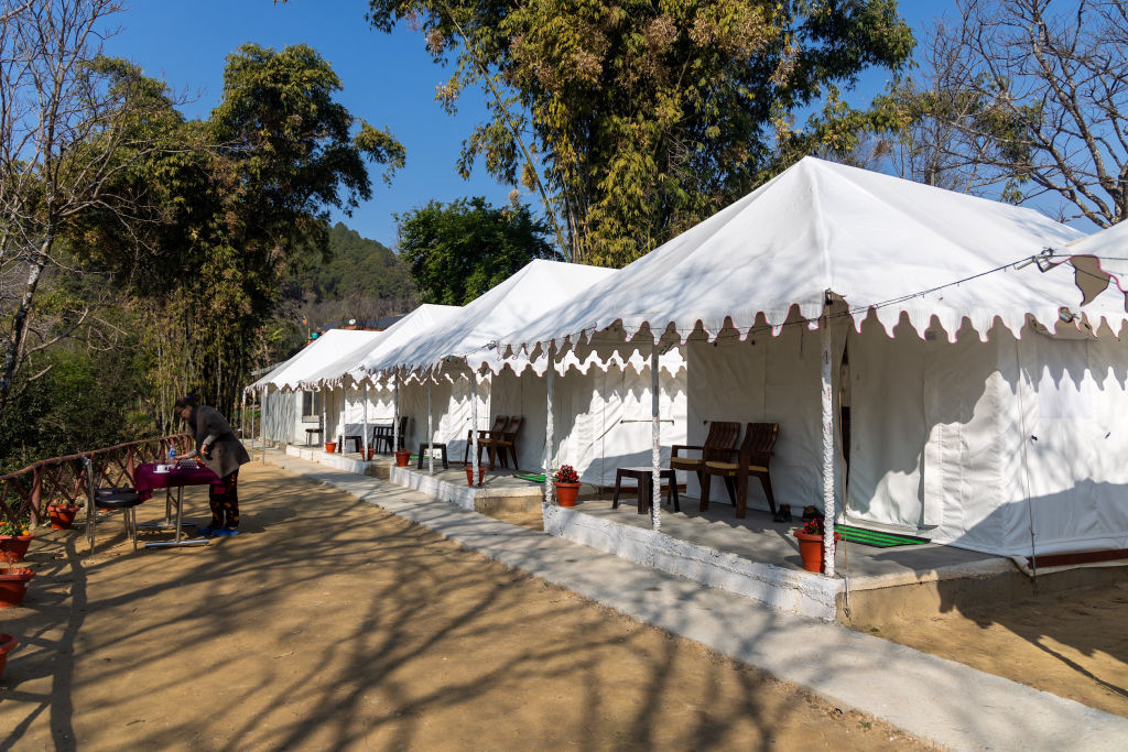
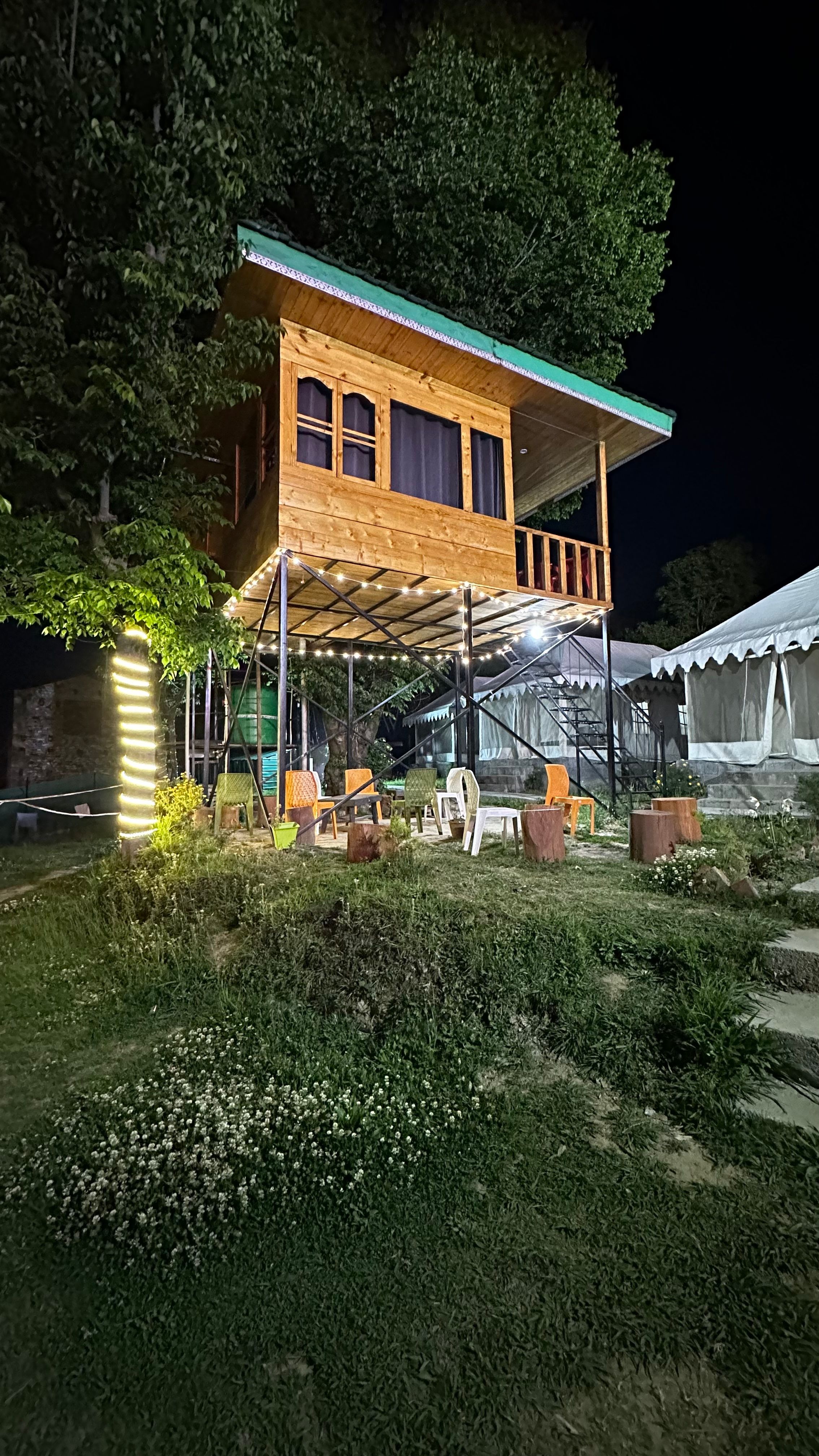
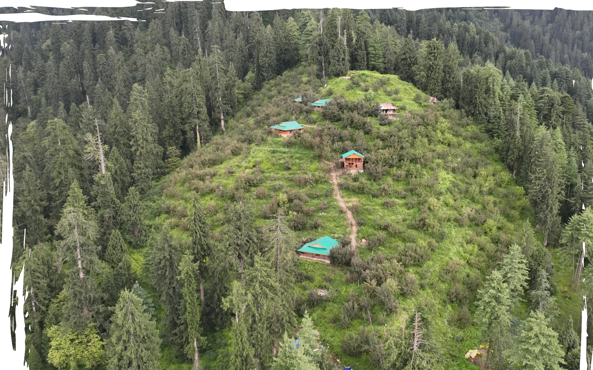
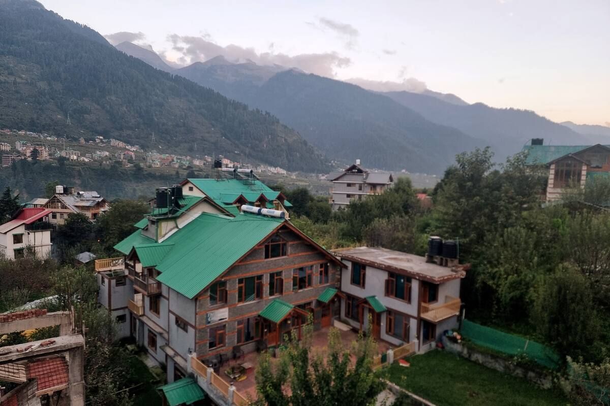
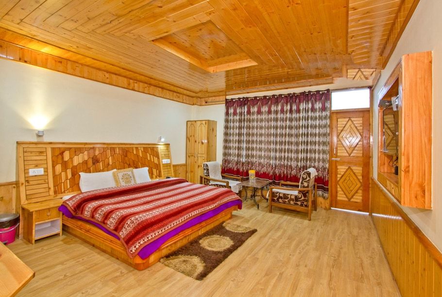
Accommodation is predominantly concentrated in the scenic villages and valley settlements around the base of the range. Travellers can choose from welcoming family-run homestays, wooden alpine cottages, and riverside tent sites that offer home-cooked regional meals and authentic hospitality.
Staying in the valleys gives you direct access to day trails while ensuring a comfortable bed and warm meals after a day in the mountains. You can find and book verified homestays, nature retreats, and outdoor campsites near the Nargu Range directly on HireACamp.
Frequently asked questions
Where is the Nargu Range situated?
The Nargu Range is located in Himachal Pradesh, spanning high-altitude ridgelines between the Mandi and Kullu districts near the Uhl river basin.
Is trekking in the Nargu Range suitable for beginners?
Lower forest trails and day hikes are manageable for beginners with basic fitness, but the higher ridgeline ascents can be steep and require good endurance.
When does it snow in the Nargu Range?
Snowfall typically occurs between late December and early March, covering the higher crests in deep snow and lowering temperatures below freezing.
Do I need a guide to explore the Nargu Range?
For simple walks near base villages, independent hiking is straightforward, but hiring a local guide is strongly recommended for higher ridge traverses and remote trails due to faint paths and limited mobile connectivity.
Where can I stay while visiting the Nargu Range?
You can stay in village homestays, cottages, or riverside campsites in the neighbouring valley settlements, which can be booked on HireACamp.
Where you'll be
Himachal Pradesh · 8 stays nearby shown with prices
Stays near Nargu Range
Book a place to stay close by
More places near Nargu Range
Within 20 km

Built from 0 Instagram posts by 0 creators. Every tip links back to the post it came from, and where creators disagree we show both sides.






