
Kalanag
Peak near Kharsali, Uttarakhand
14 km from Kharsali
The nearest town, for stays, food and fuel.
Kalanag, also widely known as Black Peak, is the highest summit in the Bandarpunch mountain massif within the Garhwal Himalayas of Uttarakhand. Rising to an elevation of over 6,380 metres, the peak draws serious mountaineers and high-altitude trekking enthusiasts looking for classic alpine terrain. Its name stems from its dark, rugged profile resembling the hood of a black cobra, setting it distinctly apart from the surrounding snow-clad slopes.
Getting there
By road
- From KharsaliNearest town3 hr 35 min · 184 km
- From Dehradun4 hr 35 min · 198 km
- From Chandigarh7 hr 50 min · 390 km
- From New Delhi8 hr 5 min · 428 km
Typical drive times without traffic. Stations and airports from OLA Maps; distances and typical drive times from OpenStreetMap (© OpenStreetMap contributors); notes from creators' Reels.
About Kalanag
Written with AI from map data and general knowledge. Check prices and timings locally before you go.
About Kalanag and the Bandarpunch Massif
Kalanag dominates the skyline of the western Garhwal region in Uttarakhand. The peak forms part of the prominent Bandarpunch massif, flanked closely by Bandarpunch I and other glaciated ridges near the upper catchments of the Yamuna River basin. The peak derives its name from the Hindi words kala, meaning black, and nag, meaning serpent or cobra, inspired by the steep rock face on its northern aspect that often sheds snow and stands out in stark contrast against the glistening ice fields around it.
The topography around Kalanag consists of deep glacial valleys, razor-sharp arêtes, and sweeping snowfields. The surrounding terrain falls largely within the protected ecological zone of Govind Pashu Vihar National Park and Sanctuary, an area known for rich biodiversity including Himalayan black bears, musk deer, snow leopards, and diverse alpine flora. Climbing or trekking towards Kalanag exposes travellers to pristine wilderness where pine and birch forests yield gradually to rolling alpine pastures before terminating in moraines and seracs.
Trekking and Climbing Routes to Kalanag
Reaching Kalanag is generally undertaken as a full-fledged mountaineering expedition rather than a casual hiking trip. The standard approach typically begins in the Tons Valley, starting from remote mountain villages such as Sankri or Taluka. Trekkers trace a path through verdant forests and high meadows, moving through the scenic Har Ki Dun watershed and turning up into the Ruinsara Valley.
From Ruinsara Tal, an alpine lake fringed by rhododendron and birch trees, expedition teams establish progressive camps across moraines and glacier approaches, commonly via the Ruinsara or Kyarkoti glaciers. The final climb involves traversing crevassed ice sheets, establishing high-altitude camps on snowfields, and negotiating steep summit ridges requiring technical equipment like crampons, ice axes, and fixed ropes. Trekkers who do not wish to attempt the technical summit often trek to the advanced base camp or explore vantage points around Ruinsara Tal and the upper valley meadows.
Read more
Best Time to Visit Kalanag
The climbing and trekking seasons for Kalanag are split into two primary windows: pre-monsoon and post-monsoon. The pre-monsoon window spans from late May to late June. During this phase, snow cover is consolidated on the upper slopes, days are relatively long, and high-altitude temperatures are milder, making it the preferred window for mountaineering teams attempting the summit.
The post-monsoon season begins in September and continues through mid-October. This window brings crisp, exceptionally clear skies and stable atmospheric conditions following the monsoon retreat. The surrounding valleys and lower meadows present vibrant autumn hues, and panoramic visibility across the Garhwal peaks is at its peak. However, temperatures drop sharply at night, and early winter snowfalls can commence by late October. The monsoon months of July and August bring heavy rain, swollen river crossings, and heightened risks of landslides, while the winter months from December to April seal the high passes under deep snow.
How to Reach the Region
The starting points for journeys towards Kalanag are accessible by road from major transit hubs in Uttarakhand. Dehradun is the nearest railhead and air hub, connected by regular rail services and flights from major Indian cities. From Dehradun, mountain roads lead northwest through Mussoorie, Nainbagh, Purola, and Mori towards Sankri, which serves as the traditional roadhead for treks entering Govind Pashu Vihar and the Ruinsara route. The drive covers scenic mountain routes through pine-covered slopes and riverside stretches along the Tons and Yamuna rivers.
Travellers should plan for a full day of driving to reach the roadhead from Dehradun, accounting for winding terrain and variable road conditions. Public buses and shared mountain taxis operate along primary routes, though hiring private vehicles is often preferred for teams travelling with heavy expedition gear. Beyond the roadhead, all travel proceeds on foot with pack mules or porters along designated bridle paths and wilderness trails.
Essential Preparation and What to Carry
Because Kalanag involves wilderness exploration and high elevations, preparation must be thorough. Expeditions venturing above base camp require mountaineering-grade clothing capable of withstanding sub-zero temperatures, howling winds, and unexpected blizzards. Layering is essential, including thermal base layers, fleece mid-layers, heavy down jackets, and windproof outer shells. Sturdy, waterproof trekking or mountaineering boots with adequate ankle support are critical.
Given the remote terrain, self-sufficiency is vital. Travellers must carry high-altitude rated camping tents, four-season sleeping bags, water filtration devices, high-calorie trail rations, and comprehensive first-aid kits including medications for acute mountain sickness. Because sun radiation at high altitudes is severe, UV-protection sunglasses, broad-brimmed hats, and high-SPF sunscreen are non-negotiable. Anyone planning to venture onto the glaciated terrain should also ensure they have the proper technical equipment and certified high-altitude guiding support.
Places to Visit Nearby
The region surrounding Kalanag is dotted with celebrated Himalayan landscapes and spiritual landmarks. Ruinsara Tal lies just 12 km from the peak and serves as a peaceful alpine camping ground surrounded by rhododendrons and towering rock faces. Only 4 km away stands the sister summit of Bandarpunch, whose massive snow-capped shoulders dominate the horizon.
Across the ridge in the upper Yamuna valley lies the revered Yamunotri Temple, located approximately 11 km away in direct alignment, accompanied by the ancient Shani Temple at Kharsali. Further afield, adventurers can explore the scenic Harsil Valley, soak in the natural thermal springs at Gangnani, or trek towards high-altitude lakes such as Dodital. The alpine meadows of Dayara Bugyal and Gulabi Kantha, situated within a short distance across the district, provide sweeping panoramas of Kalanag from their open ridge walks.
Where to Stay
Accommodation directly on the Kalanag route is wilderness camping in tents, as no built lodgings exist beyond the threshold villages. Base camps and transit camps are set up on established alpine meadows and moraine flats.
For nights before and after your trek or expedition, nearby base villages such as Sankri, Osla, and surrounding settlements offer welcoming homestays and community-run guesthouses. These properties allow travellers to rest, acclimatise, and experience traditional Garhwali wooden architecture and local hospitality. Travellers can explore vetted homestays, nature retreats, and eco-camps throughout the Uttarkashi and Tons Valley belt directly on HireACamp.
Frequently asked questions
What does the name Kalanag mean?
Kalanag translates to Black Cobra in Hindi, named for its dark, snow-free northern rock face that resembles the flared hood of a serpent.
How challenging is it to climb Kalanag?
Kalanag is considered a demanding non-technical to semi-technical mountaineering expedition requiring prior high-altitude experience, basic mountaineering skills, and thorough acclimatisation.
Which route is commonly used to approach Kalanag?
The most common approach begins at the roadhead near Sankri, passing through the Tons Valley, Har Ki Dun region, and Ruinsara Tal before climbing onto the upper glaciers.
Are permits needed to trek towards Kalanag?
Yes, permits from the Uttarakhand Forest Department are required to enter Govind Pashu Vihar National Park, and climbing the summit requires formal expedition clearances.
What is the best time of year to visit Kalanag?
The most favourable periods are the pre-monsoon months of May and June for climbing, and the post-monsoon period of September to mid-October for clear weather and trekking.
Where you'll be
1 stay nearby shown with prices
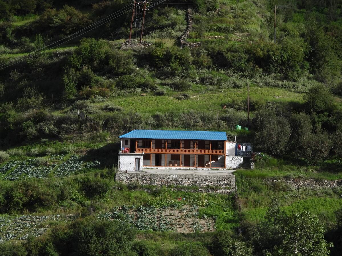
Stays near Kalanag
Book a place to stay close by
More places near Kalanag
Within 20 km


Built from 0 Instagram posts by 0 creators. Every tip links back to the post it came from, and where creators disagree we show both sides.






