
Talang Pass
Peak near Barot Valley, Himachal Pradesh
3.6 km from Barot Valley
The nearest town, for stays, food and fuel.
Talang Pass is a formidable high-altitude mountain pass in the Dhauladhar range of Himachal Pradesh, rising high above the Kangra Valley near Yol Cantonment. Historically used by indigenous Gaddi shepherds to traverse between the Kangra and Chamba valleys, the pass offers a rugged wilderness experience far removed from standard tourist circuits. Experienced trekkers head to Talang Pass for its demanding vertical ascents, pristine alpine meadows, and sweeping panoramas of snow-dusted Himalayan crests.
Getting there
By road
- From Ludhiana4 hr 55 min · 216 km
- From Amritsar5 hr 5 min · 227 km
- From Chandigarh5 hr 55 min · 251 km
- From Dehradun9 hr 20 min · 439 km
Typical drive times without traffic. Stations and airports from OLA Maps; distances and typical drive times from OpenStreetMap (© OpenStreetMap contributors); notes from creators' Reels.
About Talang Pass
Written with AI from map data and general knowledge. Check prices and timings locally before you go.
About Talang Pass and the Dhauladhar Range
Talang Pass stands as one of the prominent shepherd trails cutting through the granite ramparts of the Dhauladhar range. Sitting at an altitude well above four thousand metres, it links the lower, temperate settlements of the Kangra basin with the secluded upper reaches of the Chamba region. Unlike popular commercial day hikes in the area, Talang Pass is a serious mountain route defined by boulder fields, narrow ridgelines, and unpredictable alpine weather.
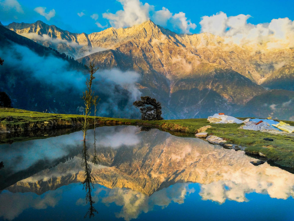
The Dhauladhar range, translated poetically as the White Range, rises sharply from the plains without intermediate foothills, creating an astonishing vertical relief. From the lower approaches, hikers look up at near-sheer rock faces and hanging glaciers. Over centuries, local pastoralists carved paths across these crests to move their flocks between seasonal pastures, leaving behind a network of trails that test the endurance and route-finding abilities of modern adventurers.
The Trekking Route to Talang Pass
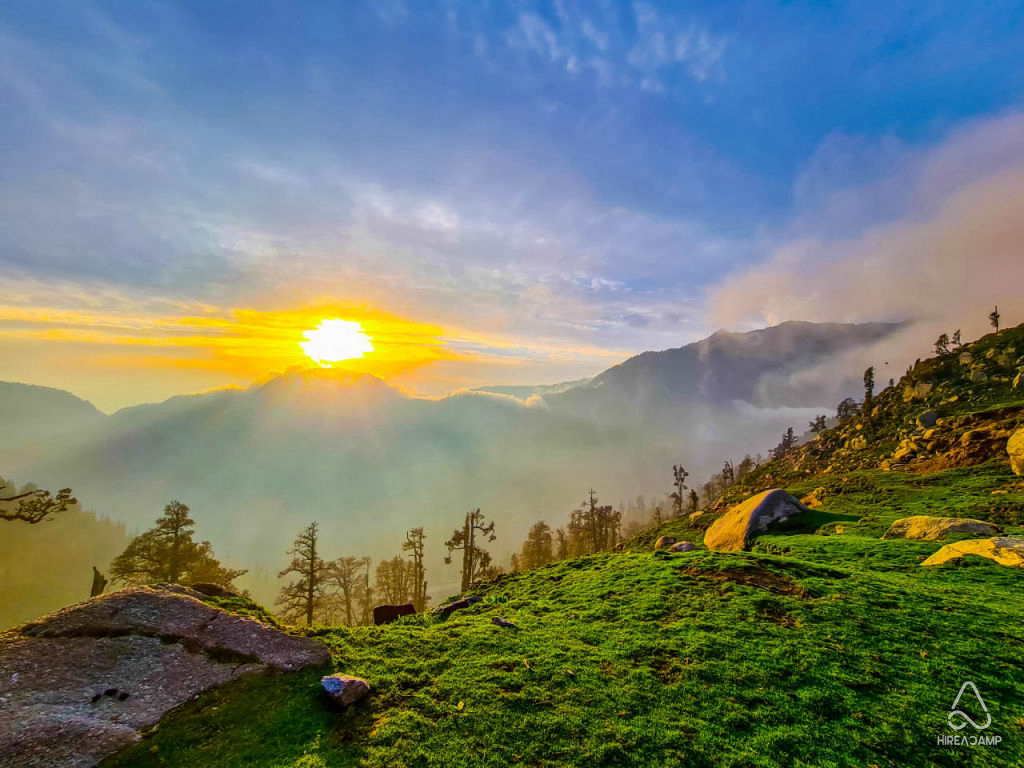
The ascent to Talang Pass typically begins from villages tucked at the base of the mountains in the Kangra Valley, not far from Yol Cantonment and Dharamshala. The trail starts amidst terraced farmland, cedar forests, and dense oak groves before climbing steeply along swift mountain torrents. As the tree line recedes, the forest gives way to sprawling alpine pastures carpeted with wildflowers in the warmer months, occasionally dotted with seasonal shepherd shelters made of dry-stacked slate.
Beyond these middle meadows, the journey becomes substantially more technical and physically taxing. Hikers must negotiate steep scree slopes, expansive moraines left behind by ancient glaciers, and lingering snowdrifts that can persist well into the summer. The final push to the crest of Talang Pass requires sure-footed scrambling over loose rock and exposed ridges. Reaching the pass rewards trekkers with breathtaking views that look deep into the Ravi river basin on one side and sweep across the vast, sunlit plains of northern India on the other.
Read more
Best Time to Visit Talang Pass
The window for attempting Talang Pass is dictated entirely by mountain weather and snow accumulation. The primary trekking seasons fall in the pre-monsoon window from late May to early July, and the post-monsoon period from September through October.
During late spring and early summer, snow begins to melt from the lower gullies, opening paths through the higher crags. Daytime temperatures at lower elevations are warm, while nights on the higher slopes remain cold and crisp. Mid-July through August brings vigorous monsoon rains across the Kangra Valley, making the trail excessively slippery and prone to rockfall, cloud cover, and sudden flash floods. Trekking during peak monsoon is strongly discouraged.
Autumn, particularly September and October, offers the most stable conditions with exceptionally clear skies and crisp air. By November, early winter storms dump fresh snow over the pass, effectively closing the high routes until the following year.
How to Reach Talang Pass
Reaching the base camps for Talang Pass requires travelling to the Kangra district of Himachal Pradesh. Yol Cantonment serves as the nearest major military and civilian settlement, situated just outside Dharamshala and within easy reach of regional transport links.
Travellers flying in can land at Kangra Airport in Gaggal, which is connected by regular regional flights from major cities. From the airport, local taxis and buses run to Dharamshala, Palampur, and surrounding base villages. For those travelling by train, Pathankot is the closest broad-gauge railway hub, from where road transport or the slow, scenic Kangra Valley toy train can be taken towards the foothills.
Once in the Kangra Valley, the journey to the trailhead involves hiring a local cab or taking rural feeder buses to small staging hamlets at the mountain foot. From the roadhead, all further progress is on foot.
Tips for Trekking Talang Pass
Because of its elevation, remoteness, and rugged terrain, crossing or climbing towards Talang Pass is an expedition that requires careful preparation. Acclimatisation is vital; moving up too quickly without spending nights at intermediate elevations significantly increases the risk of mountain sickness. Travellers should spend at least a couple of days in the foothills before making a bid for high camps.
Packing appropriate clothing is critical. Mountain temperatures can plummet below freezing overnight, and sudden changes in wind direction can bring rapid drops in temperature even on sunny afternoons. Dress in moisture-wicking synthetic or wool layers, accompanied by a durable windproof and waterproof outer shell. Sturdy, broken-in trekking boots with strong ankle support and reliable grip on loose slate are essential.
Always travel with experienced local mountain guides who understand the Dhauladhar's shifting trails and microclimates. Self-sufficiency is paramount, as there are no established lodges, tea stalls, or mobile networks once you venture past the lower grazing settlements. Bring dependable shelter, adequate fuel, clean drinking water filtration systems, and a fully equipped first-aid kit.
Places to Visit Nearby
The lower valley surrounding Talang Pass is rich in culture, historical architecture, and leisure spots. The hillside settlement of McLeod Ganj is roughly sixteen kilometres away, offering access to Tibetan monasteries, bustling street markets, and quiet forest pathways around upper Dharamshala.
Further down in the valley stands the ancient Kangra Fort, situated roughly twenty-nine kilometres away. As one of the oldest fortresses in India, it features massive carved stone ramparts, historic temple shrines, and commanding views over the confluence of the Banganga and Manjhi streams. Visitors can also explore the tea gardens of Palampur, the sacred Chamunda Devi Temple by the riverside, and scenic river gorges throughout the Kangra countryside.
Where to Stay
There are no permanent accommodations, guesthouses, or established tourist facilities along the upper trails of Talang Pass. Anyone taking on the multi-day route must carry their own tents, sleeping bags, and camp provisions to establish wild camps at recognised shepherd clearings.
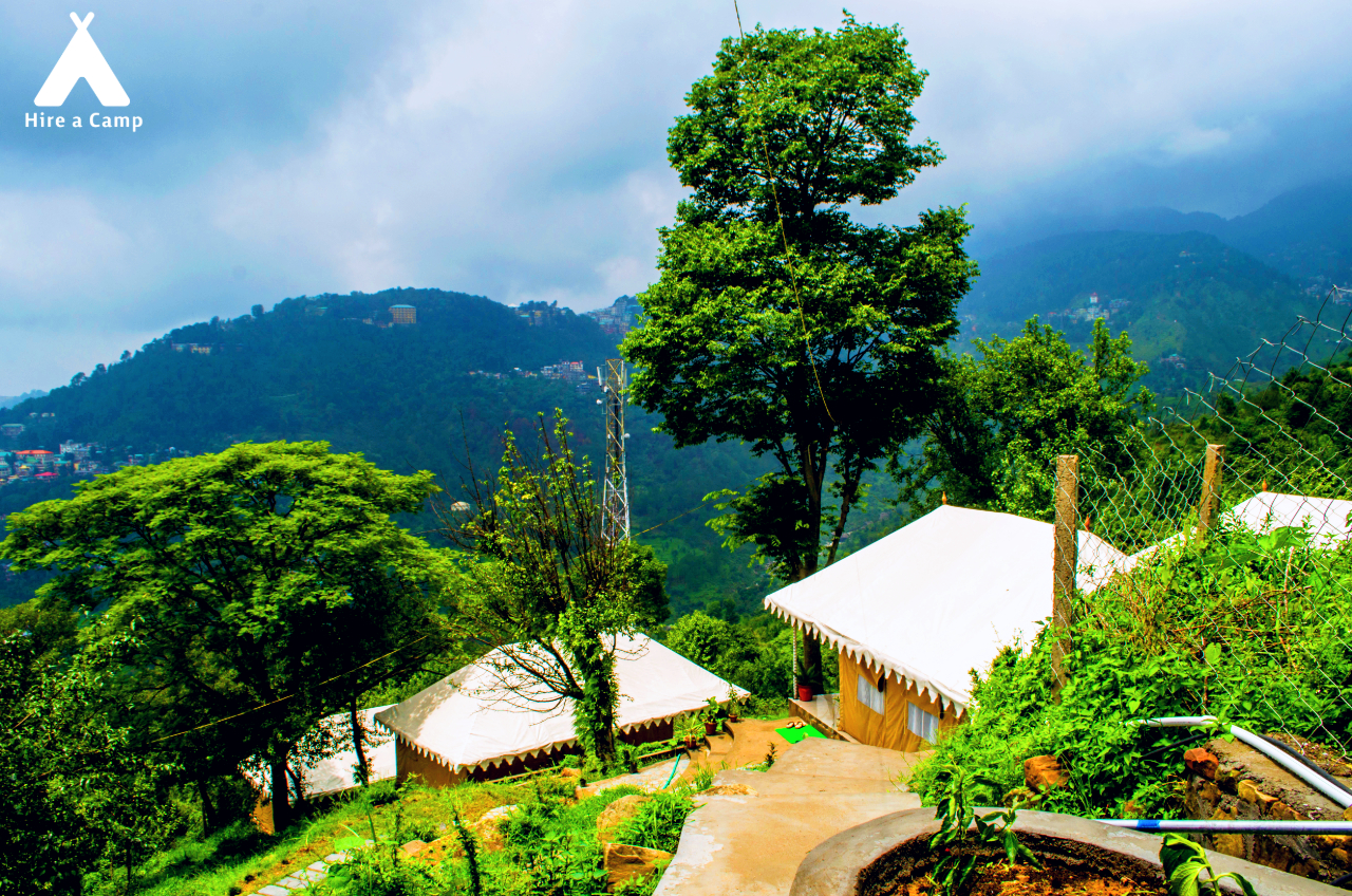
For comfortable lodging before and after your expedition, the surrounding towns of Yol Cantonment, Dharamshala, Palampur, and McLeod Ganj offer an extensive selection of stays. You can find well-appointed riverside campsites, cosy village homestays, and rustic cabins throughout the Kangra Valley on HireACamp to suit your travel pace.
Frequently asked questions
Where is Talang Pass situated?
Talang Pass is situated in the high Dhauladhar range of Himachal Pradesh, linking the upper Kangra Valley near Yol Cantonment and Dharamshala with the Chamba region.
How challenging is the trek to Talang Pass?
The trek is considered difficult and physically demanding, characterised by steep ascents, boulder-strewn moraines, scree, and potential snowfields at high altitude.
Can beginners attempt the Talang Pass trek?
This route is not recommended for beginners due to the steep terrain, altitude, lack of marked trails, and remote wilderness setting. Prior high-altitude trekking experience is strongly advised.
Do I need a local guide for Talang Pass?
Hiring a local guide or an experienced mountain leader is highly recommended, as the trail can be obscure, unpredictable weather can obscure landmarks, and navigation over scree slopes requires local route knowledge.
What is the best time of year to trek to Talang Pass?
The best months to visit are from late May to early July, and again from September to October, when the snow has receded and monsoon rains are avoided.
Where you'll be
Himachal Pradesh · 4 stays nearby shown with prices
Stays near Talang Pass
Book a place to stay close by
More places near Talang Pass
Within 20 km

Built from 0 Instagram posts by 0 creators. Every tip links back to the post it came from, and where creators disagree we show both sides.






