
Kharchakund
Peak near Kedarnath, Uttarakhand
7.9 km from Kedarnath
The nearest town, for stays, food and fuel.
Kharchakund is a majestic mountain peak rising in the Garhwal Himalayas of Uttarakhand, situated in the rugged high-altitude terrain near Kedarnath. Towering above surrounding glaciers, it attracts serious mountaineers, alpine trekkers, and landscape photographers drawn to its dramatic icy pyramid. The peak forms a striking natural landmark along the great ridge systems that define the upper valleys of Uttarkashi and Rudraprayag.
Getting there
By road
- From Dehradun5 hr 10 min · 249 km
- From New Delhi8 hr 25 min · 461 km
- From Chandigarh8 hr 50 min · 418 km
Typical drive times without traffic. Stations and airports from OLA Maps; distances and typical drive times from OpenStreetMap (© OpenStreetMap contributors); notes from creators' Reels.
About Kharchakund
Written with AI from map data and general knowledge. Check prices and timings locally before you go.
About Kharchakund Peak
Kharchakund stands as one of the prominent summit spires of the Garhwal Himalayan range in Uttarakhand. Reaching well above six thousand metres, this sharp pyramidal summit rises near the Gangotri and Kedarnath mountain complexes. Its flanks are draped in ancient ice fields and hanging glaciers, presenting a dramatic silhouette visible from high-altitude trekking trails across the region.
While technical climbing expeditions require specialised mountaineering gear, logistical planning, and formal clearances, the surrounding ridges and high meadows offer adventurous trekkers sweeping vistas of the peak. For enthusiasts of high mountain geography, Kharchakund is an emblem of the raw, untamed beauty that characterizes the inner sanctuaries of the northern Garhwal divide.
The Mountain Landscape and Natural Setting
The terrain surrounding Kharchakund is defined by stark alpine topography, vast moraines, and high-altitude glacial valleys. The peak overlooks massive ice masses that feed into the headwaters of the holy rivers of Uttarakhand. Because of the elevation and sheer relief, the area remains under snow for most of the year, giving way to rock and ice walls that challenge even veteran mountaineers.
Lower down along the valleys leading toward the base areas, fragile alpine meadows known locally as bugyals emerge during the brief summer thaw. These high pastures support tough alpine flora, including wild primulas, saxifrages, and rare lichens. Wildlife in the wider sanctuary and surrounding valleys includes high-altitude specialists such as the Himalayan blue sheep or bharal, snow leopards, alpine choughs, and golden eagles. Human presence here is sparse, making the region a true wilderness experience.
Read more
Best Time to Visit the Kharchakund Region
Due to harsh winter conditions and heavy monsoon snowfall, the window for visiting the region surrounding Kharchakund is limited to two distinct seasons. The pre-monsoon window spans from late May through June. During these months, the snow from winter begins to clear from access trails, daytime temperatures are relatively mild, and visibility is often crisp in the mornings before afternoon clouds roll in.
Post-monsoon, running from September through October, is considered the finest season for admiring the peaks. The skies during autumn are typically deep blue and crystal clear, offering pristine views of Kharchakund and neighbouring giants like Thalay Sagar. By late October, temperatures plummet rapidly well below freezing, and early winter storms begin to blanket the high passes in deep snow, rendering access trails impassable until the following spring.
How to Reach the Kharchakund Region
Reaching the vantage points or base approaches for Kharchakund involves a multi-stage journey through the river valleys of Uttarakhand. The nearest rail hubs are located at Rishikesh and Haridwar, while the closest domestic airport is Jolly Grant Airport in Dehradun. From these transit hubs, travellers travel by road through mountain highways via Srinagar, Rudraprayag, and Guptkashi towards the roadheads in the Kedar valley or Uttarkashi district.
From the end of the motorable road, travellers must proceed on foot along established trekking routes. Because of the extreme elevation and remoteness, any journey into the immediate vicinity of Kharchakund requires robust physical fitness, thorough acclimatisation days, and self-contained expedition gear. Local route guidance should always be verified before starting out, as trail conditions can shift dramatically after seasonal weather events.
Tips for High-Altitude Travel Near Kharchakund
Exploring the high valleys around Kharchakund requires careful preparation and respect for mountain hazards. Acute mountain sickness is a real concern in this elevation band. Trekkers should ascend gradually, incorporate dedicated rest days, and stay well hydrated. Never attempt to push through severe headache, dizziness, or nausea at altitude.
Weather can change without warning, turning sunny skies into whiteouts within an hour. Carrying windproof, waterproof layers and thermal clothing rated for sub-zero temperatures is essential. Because there are no commercial shops or permanent medical facilities in the backcountry, carrying a well-stocked first-aid kit, reliable navigation tools, emergency communication, and sufficient high-energy food is mandatory. Always adhere to leave-no-trace ethics by packing out all non-biodegradable waste to preserve this pristine wilderness.
Places to Visit Around Kharchakund
The surrounding landscape is rich in sacred geography and spectacular wilderness areas. The famous Kedarnath Temple, situated just across the mountain divide, is one of the most sacred pilgrimage shrines in the Himalayas, drawing travellers and pilgrims through rugged trails. Near the temple town, the shrine of Bhairavnath offers commanding vantage points across the Kedar valley.
Adventurous trekkers can explore high-altitude glacial tarns such as Vasuki Tal and Kedartal, which mirror the giant ice peaks surrounding them. Further down the mountain chain, the peaceful meadows of Chopta provide easier trekking trails with panoramic vantage points overlooking the greater Garhwal peaks, including Kharchakund on clear days. The historic temple of Triyuginarayan and the scenic river trails around Gaurikund also make rewarding stops on a broader itinerary.
Where to Stay Near Kharchakund
In the remote high-altitude zones immediately surrounding Kharchakund, there are no commercial accommodations, and expeditions rely entirely on self-supported wilderness camping with cold-weather tents. When setting up camp, ensure you choose sheltered spots well away from avalanche chutes or rockfall paths.
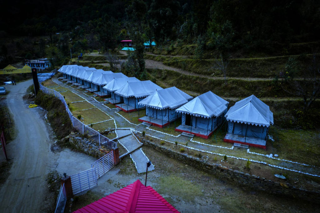
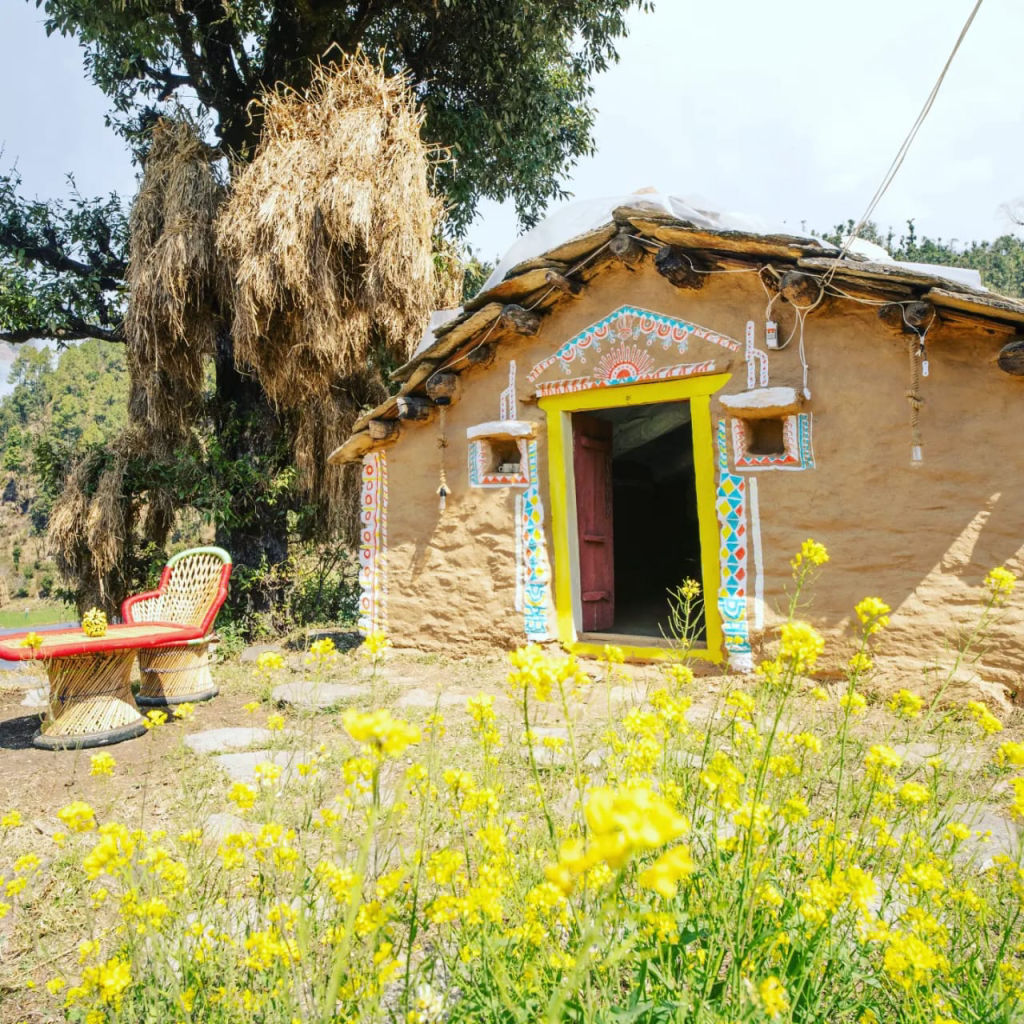
In the inhabited valleys, lower settlements, and gateway towns such as Chopta, Guptkashi, and Gaurikund, a wider variety of places to stay can be found on HireACamp. These include managed alpine campsites, rustic homestays run by local families, and guesthouses. Booking your stay in the lower valleys provides a comfortable base from which you can acclimatise and prepare for high-altitude trekking excursions.
Frequently asked questions
Where is Kharchakund located?
Kharchakund is an alpine mountain peak situated in the Garhwal Himalayas of Uttarakhand, near the border regions of Uttarkashi and Rudraprayag districts, close to Kedarnath.
Can beginners climb Kharchakund?
No, climbing Kharchakund requires advanced mountaineering expertise, technical glacier equipment, and formal expedition clearances. However, experienced trekkers can hike through nearby trails and valleys to view the peak.
What is the best time of year to see Kharchakund?
The best months to travel in the surrounding region are May to June and September to October, when mountain weather is most stable and skies are clear.
Do I need special permits to visit the area around Kharchakund?
Treks entering high-altitude sanctuary zones or mountaineering routes generally require permits from local forest departments and administrative authorities, so check the latest local requirements prior to your trip.
What are the nearest major landmarks to Kharchakund?
Prominent landmarks within the region include the Kedarnath Temple, Bhairavnath Temple, Thalay Sagar peak, Vasuki Tal, and the meadows of Chopta.
Where you'll be
Uttarkashi district, UT · 2 stays nearby shown with prices
Stays near Kharchakund
Book a place to stay close by
More places near Kharchakund
Within 20 km
Built from 0 Instagram posts by 0 creators. Every tip links back to the post it came from, and where creators disagree we show both sides.






