
Chorabari Glacier
Nature near Kedarnath, Uttarakhand
2.6 km from Kedarnath
The nearest town, for stays, food and fuel.
Chorabari Glacier is an expansive alpine glacier set in the Garhwal Himalayas of Uttarakhand, resting directly beneath the towering summits of Kedarnath Peak and Kedar Dome. It serves as the primary source of the sacred Mandakini River and cradles Chorabari Tal, historically known as Gandhi Sarovar. Trekkers and pilgrims venture beyond the temple town of Kedarnath to experience this raw glacial landscape, characterized by dramatic moraines, tumbling meltwater streams, and immense amphitheaters of rock and ice.
Getting there
By road
- From Dehradun5 hr 10 min · 249 km
- From New Delhi8 hr 25 min · 461 km
- From Chandigarh8 hr 50 min · 418 km
Typical drive times without traffic. Stations and airports from OLA Maps; distances and typical drive times from OpenStreetMap (© OpenStreetMap contributors); notes from creators' Reels.
About Chorabari Glacier
Written with AI from map data and general knowledge. Check prices and timings locally before you go.
The landscape of Chorabari Glacier
Chorabari Glacier stretches along the upper reaches of the Mandakini valley in the Rudraprayag district of Uttarakhand. Resting at an average elevation of nearly four thousand meters, the glacier is fed by the continuous accumulation of snow from high surrounding peaks including Kedarnath, Kedar Dome, and neighboring massifs. Over millennia, the slow downward movement of the ice sheet has carved deep troughs and pushed up massive walls of lateral and terminal moraines made of loose boulders, granite gravel, and grey silt.
At the snout of the glacier lies the emergence point of the Mandakini River, which flows vigorously down toward the lower valleys to join the Alaknanda at Rudraprayag. Near the outer edges of the moraine sits Chorabari Tal, a pristine alpine lake sustained by glacial runoff and melting snowfields. The lake was renamed Gandhi Sarovar after a portion of Mahatma Gandhi's ashes were immersed in its waters in 1948. The stark contrast between the charcoal-grey moraine debris, the crystalline meltwater, and the sheer snow-capped walls above creates one of the most rugged high-altitude landscapes in the Garhwal region.
Trekking to Chorabari Glacier and Gandhi Sarovar
Reaching Chorabari Glacier requires an uphill foot excursion from the Kedarnath shrine area. The trail heads north behind the temple settlement, winding upward through rocky meadows and crossing streams fed directly by retreating snowpacks. The path gradually ascends alongside the glacier's massive lateral moraine, offering walkers expansive views backward toward the town and the vast drop of the Kedar valley.
The walking route towards Chorabari Tal is moderately steep and uneven, navigating across loose talus, scree, and fields of glacial boulders. Trekkers need to exercise care, as the high-altitude terrain is exposed to sudden wind gusts and shifting gravel underfoot. Continuing beyond the lake toward the higher moraine ridges brings you face-to-face with the rugged debris-covered ice mass of the glacier itself. Because crevasses and unstable ice bridges are common across active glacial bodies, visitors are advised to view the glacier from designated safe vantage points along the moraine crest rather than stepping out onto the bare ice.
Read more
Best time to visit Chorabari Glacier
The window for visiting Chorabari Glacier coincides with the opening of the higher Garhwal Himalayan passes, spanning from late spring to autumn. The pre-monsoon months of May and June offer favorable daytime temperatures and relatively clear skies, though lingering winter snow can often cover large sections of the higher moraine trails. This is a popular season for travelers who want to combine the trek with a visit to the nearby shrines.
Monsoon season, stretching from July through August, brings heavy rainfall across Uttarakhand. The slopes around the Mandakini valley become susceptible to landslides, loose rockfalls, and sudden flooding in glacial streams, making access dangerous. Travel resumes in September and lasts through October. The post-monsoon period brings crisp, thin air, exceptionally clear mountain vistas, and golden alpine grass on the lower slopes, although mornings and evenings become bitterly cold. By November, intense winter blizzards blanket the glacier and the upper valley in heavy snow, rendering the trails inaccessible until the following spring.
How to reach Chorabari Glacier
Reaching Chorabari Glacier begins with a road journey into the hills of Uttarakhand. The primary transit hubs connecting to the region are Haridwar, Rishikesh, and Dehradun, which have broad rail and airport connections. From these plains gateways, mountain roads follow the course of the Ganga, Alaknanda, and Mandakini rivers along the highway toward Rudraprayag, Guptkashi, and the town of Ukhimath, eventually terminating at Gaurikund.
Gaurikund serves as the principal roadhead. From here, visitors must undertake the steep, well-trodden trek of around sixteen to eighteen kilometers up the valley to Kedarnath. Once at the Kedarnath plateau, the final walk to Chorabari Tal and the glacier moraine covers roughly three to four kilometers of rough mountain path on foot. Travelers should plan the journey across multiple days to ensure proper acclimatization and avoid exhausting long climbs in a single push.
Places to visit near Chorabari Glacier
The upper Mandakini basin is rich in natural landmarks and centuries-old cultural sites. Directly below the glacier stands the ancient stone sanctuary of Kedarnath Temple, an iconic pilgrimage site against a backdrop of towering Himalayan cliffs. Perched on a high ridge overlooking the temple plain is the Bhairavnath Temple, known for its sweeping perspective across the valley and the surrounding snow-dusted ridgelines.
Adventurous hikers in the region often undertake the trail leading eastward toward Vasuki Tal, a remote glacial lake cradled among rugged mountain ridges. Further down the mountain corridor, the road connects toward Chopta, celebrated for its expansive rolling meadows and scenic trekking trails that lead up to the Tungnath temple and the Chandrashila summit. Lower down along the valley, historic spiritual centers like the Triyuginarayan Temple and Madhyamaheshwar Temple offer deep cultural heritage set amid forested Himalayan hills.
Tips for visiting Chorabari Glacier
Because the glacier sits above thirty-eight hundred meters, acute mountain sickness is a serious consideration. Travelers must spend adequate time acclimatizing at intermediate stops along the route, drink ample water throughout the day, and avoid sudden overexertion. Carrying an emergency first-aid kit with altitude sickness remedies and consulting a physician before undertaking the trek is strongly recommended.
Weather conditions in the high Himalayas shift without warning. Even on bright summer mornings, dense clouds, cold rain, or sudden flurries of sleet can sweep in by early afternoon. Dress in multiple layers, including a thermal inner base, an insulating fleece, and a windproof and waterproof outer jacket. Sturdy trekking boots with deep lug soles and reliable ankle support are essential for walking across scree and boulder fields. Always consult local mountain guides or forest officials before heading onto the moraine, respect all ecological preservation guidelines, and ensure that every piece of waste brought up is packed out completely.
Where to stay near Chorabari Glacier
Due to fragile ecological conditions and freezing nighttime temperatures, camping directly beside the glacier or on the sensitive shores of the glacial lakes is generally restricted. Travelers typically base themselves down in the Kedarnath temple settlement, which offers basic pilgrim shelters, guest houses, and high-altitude huts during the open season.
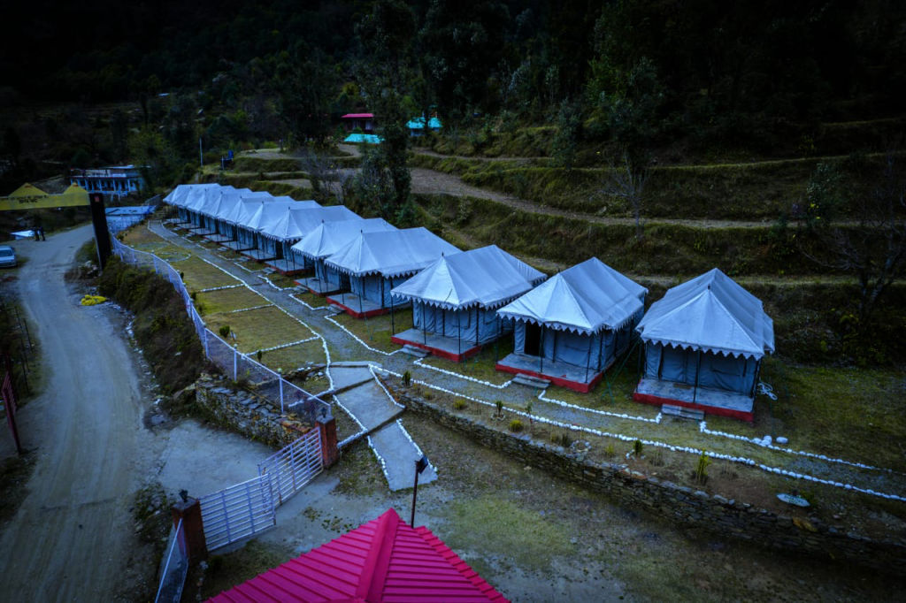
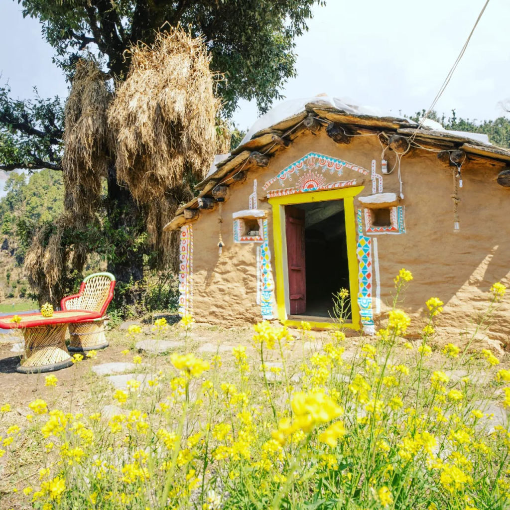
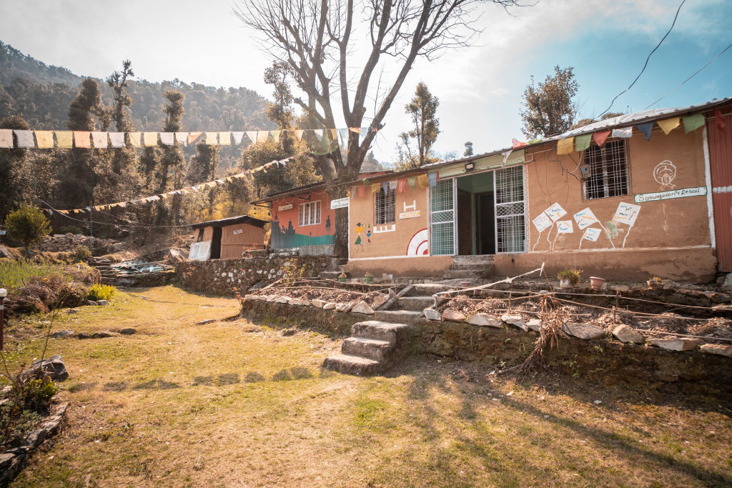
For those seeking greater comfort, varied accommodations, and relaxed environments before and after the trek, the lower valley towns provide ideal resting bases. The towns of Guptkashi, Ukhimath, and the meadows around Chopta feature a diverse selection of stays. You can find well-situated outdoor camps, riverside retreats, and family-run mountain homestays across these valley gateways on HireACamp, giving you a comfortable place to recover amidst the natural beauty of Uttarakhand.
Frequently asked questions
Where is Chorabari Glacier situated?
Chorabari Glacier is located in the Rudraprayag district of Uttarakhand in the Garhwal Himalayas, situated directly to the north behind the Kedarnath shrine.
What is the connection between Chorabari Glacier and Gandhi Sarovar?
Gandhi Sarovar, originally known as Chorabari Tal, is a high-altitude alpine lake formed by the meltwater and moraine runoff of the Chorabari Glacier. It earned its modern name after Mahatma Gandhi's ashes were immersed in its pristine waters in 1948.
Which river originates from Chorabari Glacier?
The glacier is the primary source of the Mandakini River, which flows down the Kedar valley before converging with the Alaknanda River at Rudraprayag.
Can visitors walk on Chorabari Glacier?
Walking across the active glacier ice is unsafe due to concealed crevasses and unstable rock cover. Trekkers typically view the glacier and its moraines from established trails and safe viewing ridges.
What is the best season to hike near Chorabari Glacier?
The most favorable seasons are pre-monsoon from May to June and post-monsoon from September to October, when the trekking routes are accessible and the mountain weather is relatively stable.
Where you'll be
Ukhimath · 3 stays nearby shown with prices
Stays near Chorabari Glacier
Book a place to stay close by
More places near Chorabari Glacier
Within 20 km


Built from 0 Instagram posts by 0 creators. Every tip links back to the post it came from, and where creators disagree we show both sides.






